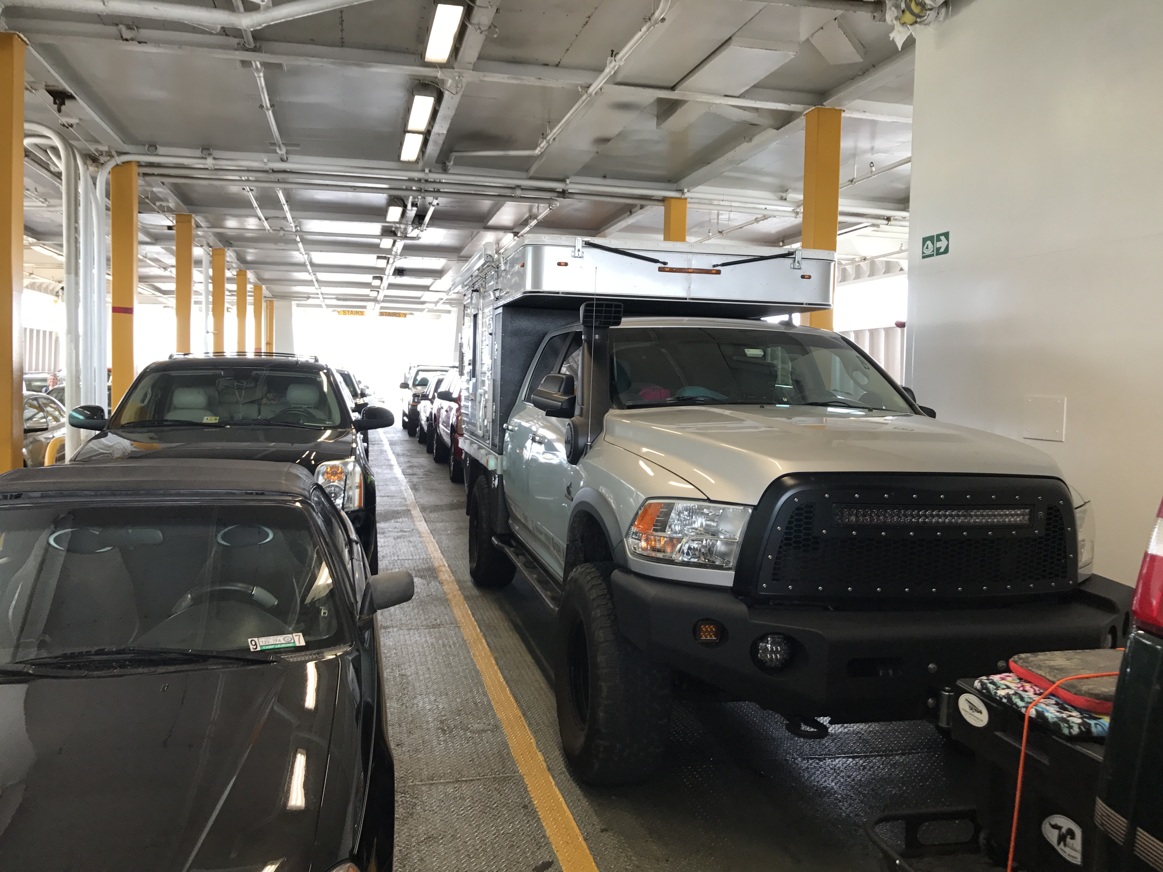

Leaving Delaware behind, we rolled through Maryland and were in Virginia by lunch. Ahead of us lay an important part of our coastal shortcut and one of the highlights of this trip, the Chesapeake Bay Bridge Tunnel. The CBBT as it’s called is an impressive feat of engineering that had me really geeking out, because bridge-tunnel-bridge-tunnel-bridge.
It crosses over open waters where the Chesapeake Bay meets the Atlantic Ocean providing a direct link between Southeastern Virginia and the “DelMarVa Peninsula” (Delaware plus the Eastern Shore counties in Maryland and Virginia). It also dips down into underwater tunnels in two places making this a pretty unique roller coaster ride of a highway.
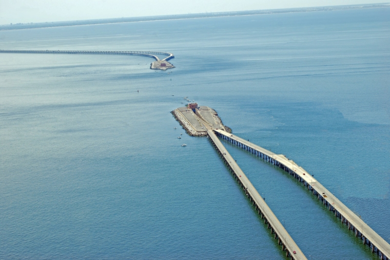
This route along US 13 cuts 95 miles from the journey between Virginia Beach and points north of Wilmington, Delaware. From shore to shore, the Bridge-Tunnel measures 17.6 miles and is considered the world’s largest bridge-tunnel complex. Taken together with all the ferry rides on this trip, this coastal route that took us from New Jersey to North Carolina is clearly one of the most epic drives in the world.
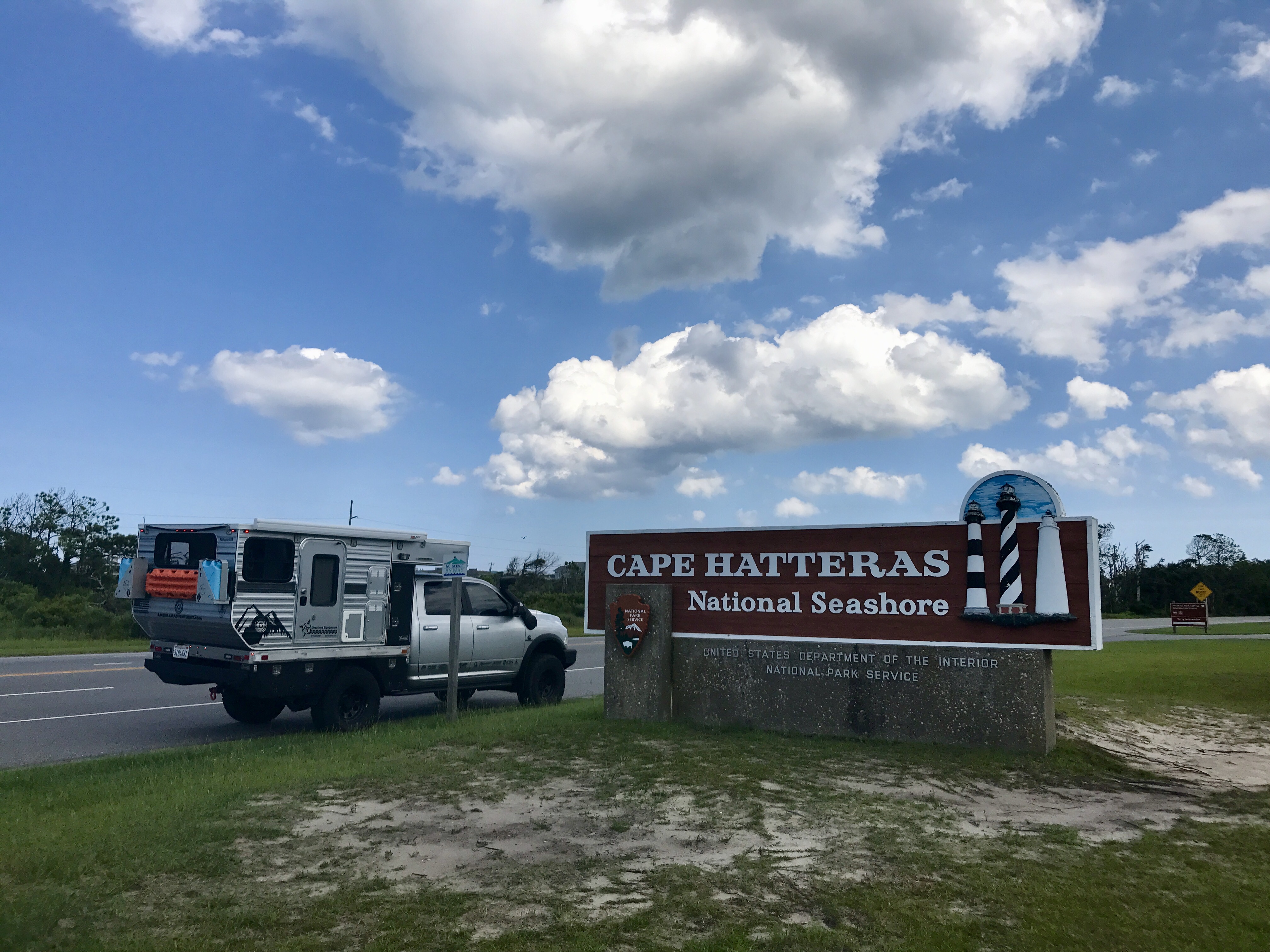
Continuing along the Virginia coast, we skirted around Norfolk and headed towards Currituck, North Carolina and the Caratoke Highway aka Route 158. This route is the gateway to the Outer Banks (OBX) and turns into North Carolina Highway 12 near Kitty Hawk.
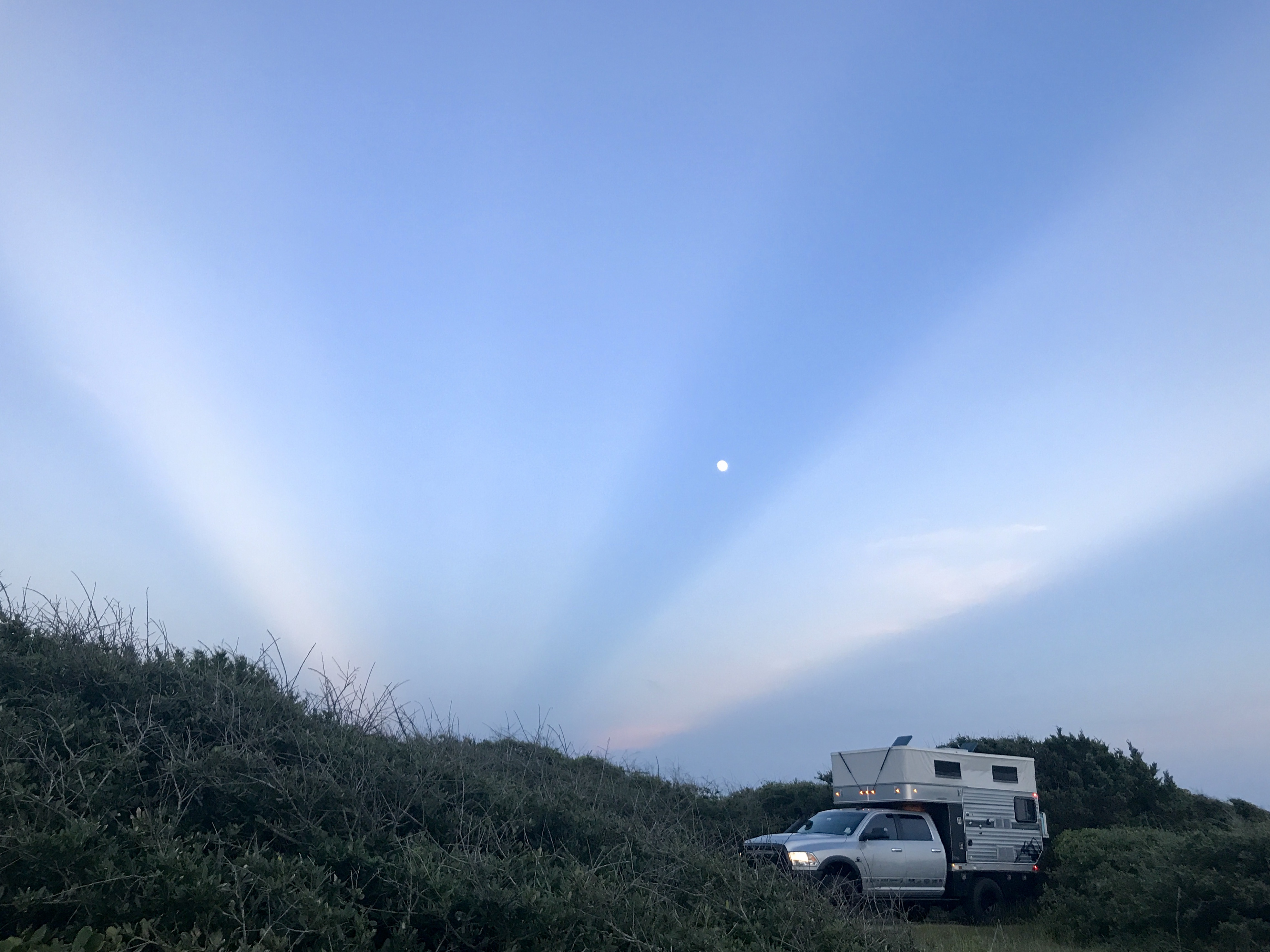
The northern parts of OBX are pretty heavy with vacation homes and touristas so we kept it moving south along NC 12 and the Hatteras National Seashore. Rumor was we could camp somewhere on these islands and maybe even get this rig into 4WD on a beach somewhere. Time for a little toes in the water tires in the sand!
The treacherous waters off the coast of the Outer Banks are known as the Graveyard of the Atlantic. Over 600 ships have wrecked here, victims of shallow shoals, storms, and war. In the past 400 years the graveyard has claimed many lives but the local inhabitants have a reputation for cheating death. As early as the 1870s, local villagers served in the US Life-Saving Service, the forefather of the US Coast Guard. Others staffed lighthouses built to guide ships at sea.
Seeing some of these old lighthouses was very high on our list. Each lighthouse here in OBX is a landmark with it’s own unique paint scheme, Bodie Lighthouse (seen here) can be identified by it’s horizontal black and white stripes.
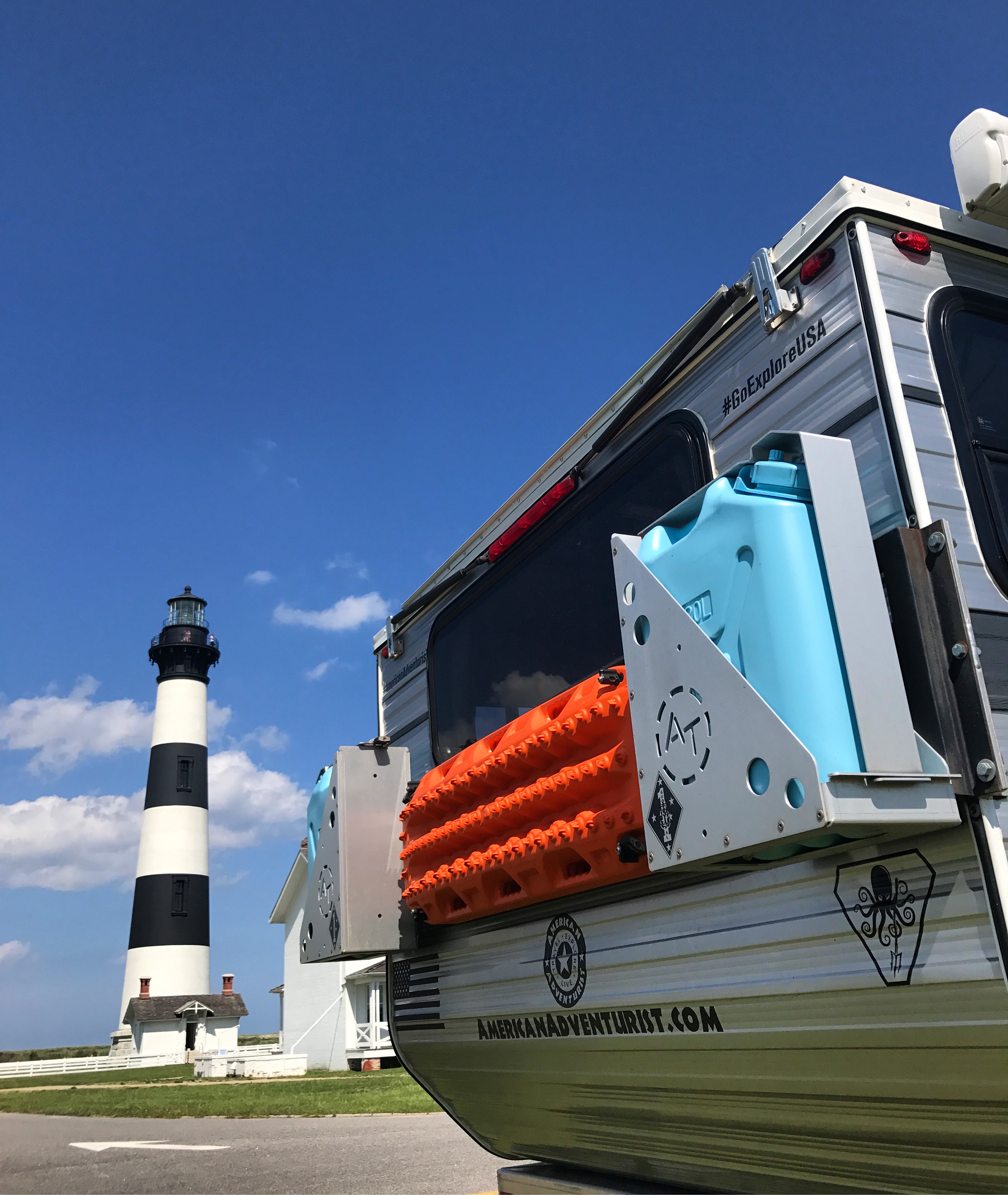
North Carolina Highway 12 is also known as the Outer Banks Scenic Byway so it’s a pretty amazing destination all on it’s own. Often severed by hurricanes over the years, it’s another east coast engineering marvel that provides ready access to miles and miles of amazing beaches on both the windward and the leeward sides of the islands.
Drifting south through the Outer Banks, we were taking our time and just enjoying the trip. If you listen closely, the road teaches you things like how sometimes you just have to forget “the plan” and make that random stop, and to eschew tourist traps. You learn that eating at the local hole in the wall is always better, that the best deals are always had when you shop at the local mom and pop, and that your experience is vastly improved when you actively avoid chain stores or restaurants when possible. The only way to experience and really identify with local cultures is to immerse yourself in it and get off the beaten path. Eat the local delicacy. Engage the local community. So we figured we’d best set course for a less travelled part of the Outer Banks that we’d heard of. With a name like Ocracoke it had to be cool.

Driving offroad on the beach at Cape Hatteras National Seashore requires a Beach Driving Permit, these can be purchased online and sent via mail before your trip. They can also be obtained in person at one of the following locations: Coquina Beach office, Cape Hatteras Light Station, and the Ocracoke Visitor Center. All of the beach driving areas and ramps on Hatteras and Ocracoke Island are open seasonally, meaning that during certain times of year, (specifically in the summer months), some areas may be closed for threatened species that are breeding, or sea turtles that are nesting.
After all the long highway miles we endured to get here from the Midwest, this is where the trip really started to become relaxing.
Beach ramps are all marked by brown, National Park Service managed “ramp markers” that indicate the mile and entrance point of every beach ramp along these islands. Simply engage 4WD and take one of these many sand ramps onto the beach and enjoy. Be ready to air down and bring basic recovery gear!
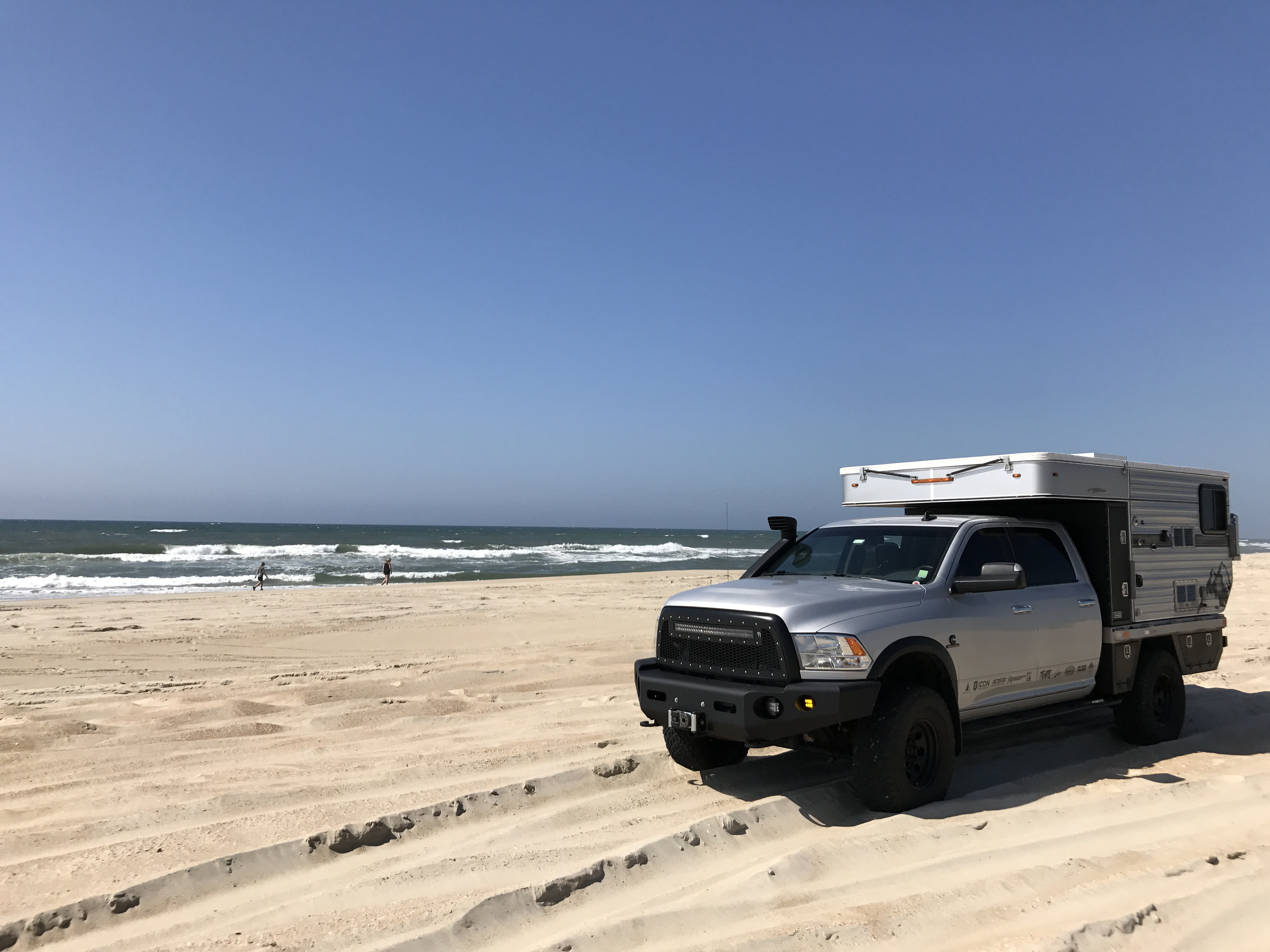
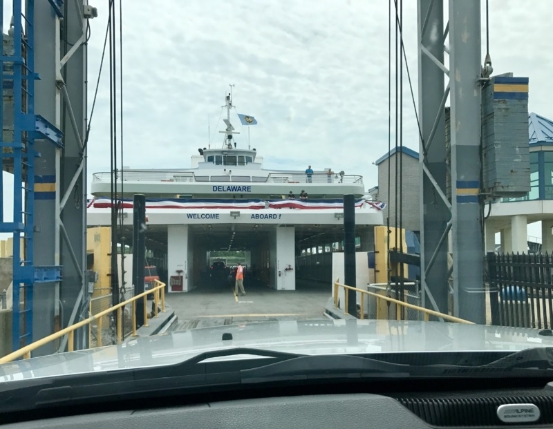
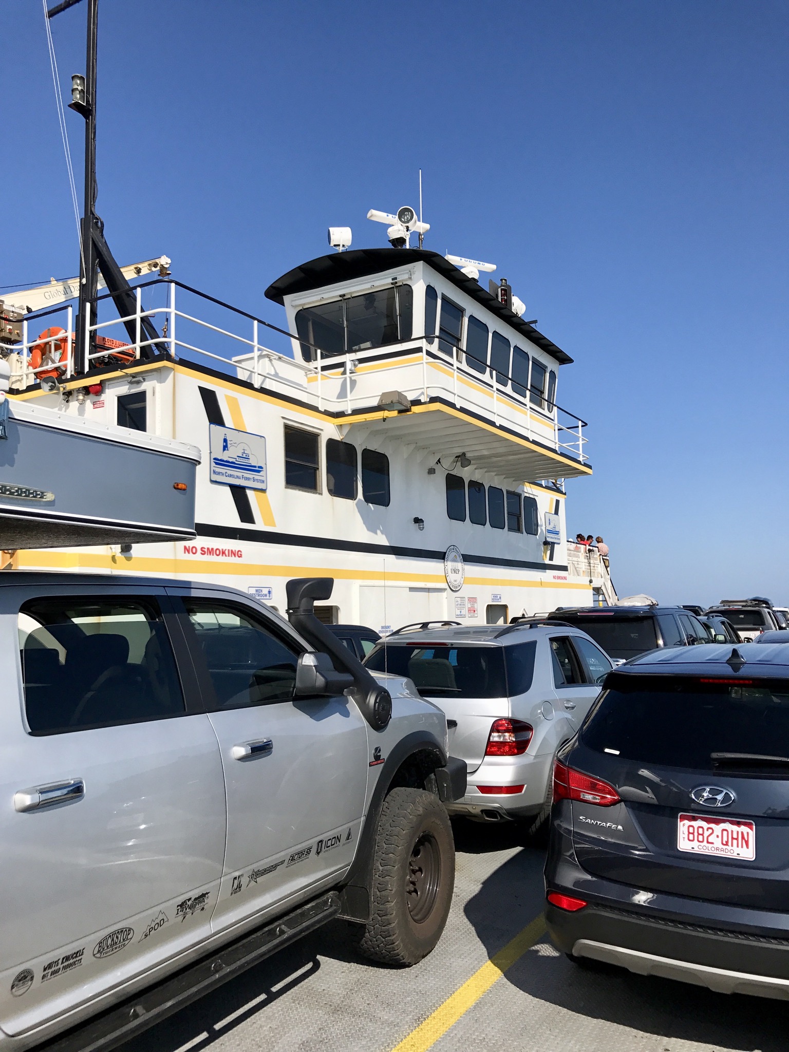
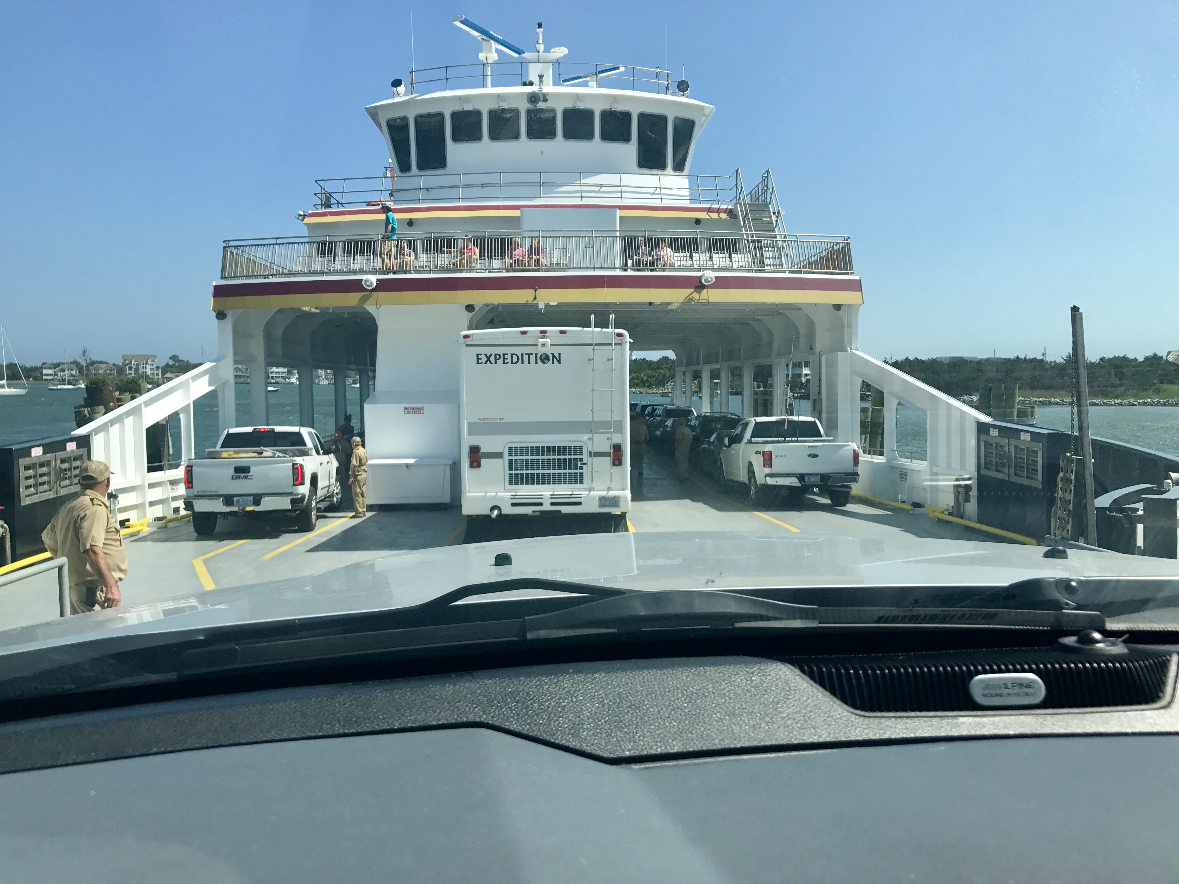
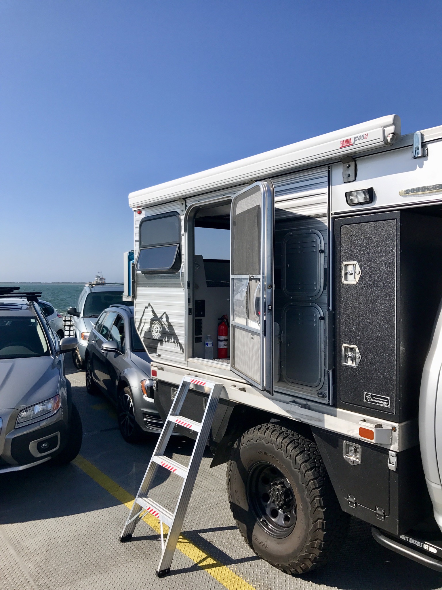
Beach wheeling box checked off, we headed for camp for the night on Hatteras Island at Frisco Campground. The next morning we were up early for the line up to board the ferry for our ultimate destination of Ocracoke Island. Boarding the ferry was pretty straightforward but be forewarned – arrive early or make reservations in advance to ensure that you get a space on board!

Arriving on Ocracoke, you notice that things feel different here. The pace is slower and more laid back than the hustle and bustle of some of the more northerly OBX areas. We quickly noticed that the “change in latitude” from venturing just this little bit further south really made a difference in attitudes, especially ours. This small island felt very much like the Caribbean, with beautiful beaches and blue/green waters as nice as any we’d seen on numerous forays there. And it has a lighthouse.
Built in 1823, Ocracoke Island Lighthouse still stands and functions today. It may not be the biggest in the Outer Banks, but it has been signaling mariners at sea for almost two centuries. It is North Carolina’s oldest lighthouse in operation, and the second oldest in the United States.

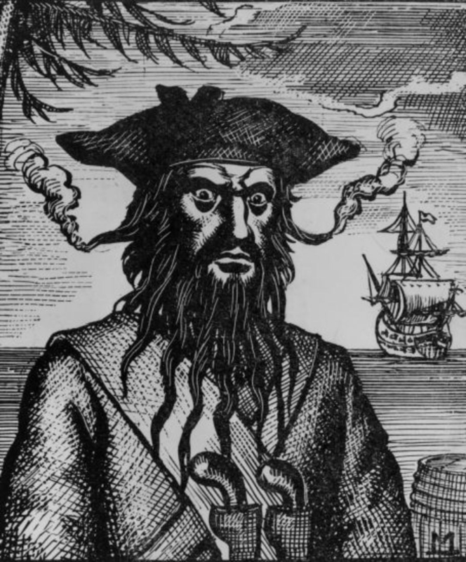
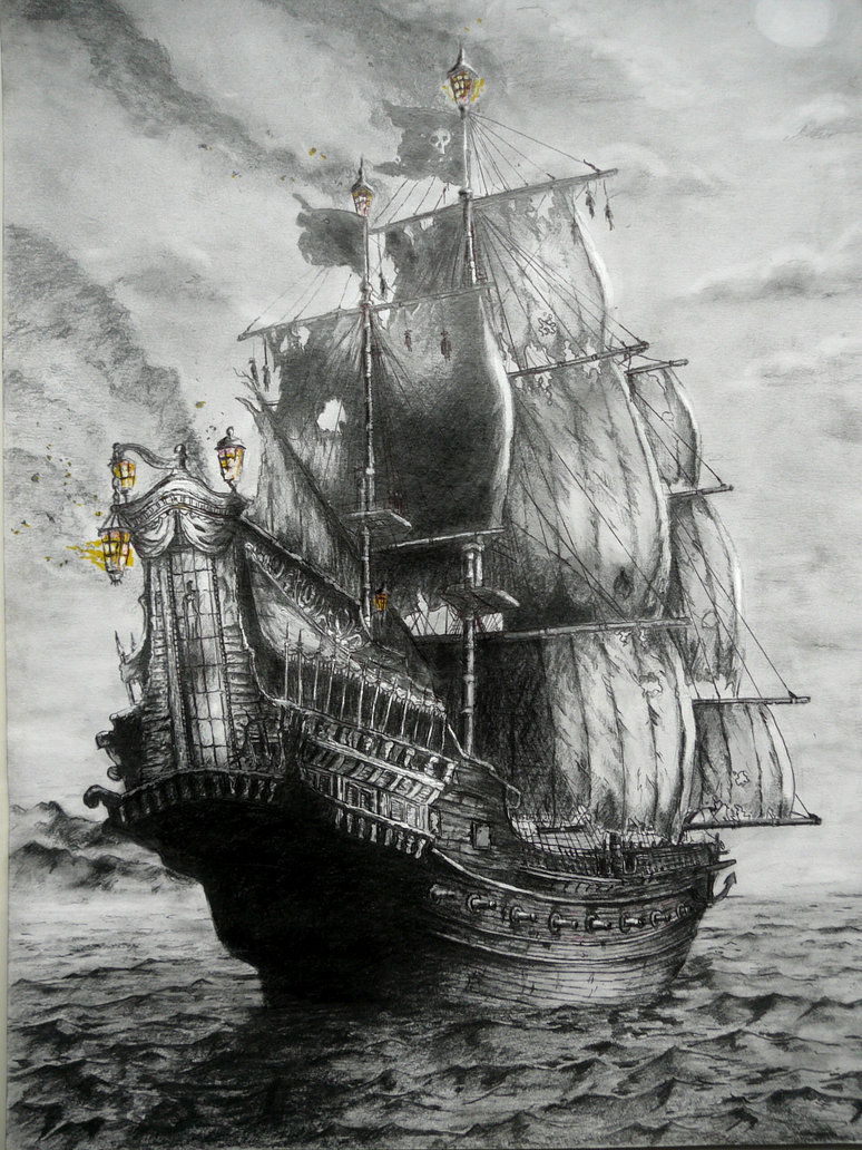
While here, I learned that Ocracoke has a darker history that I was keen on hearing more about. It was a favorite anchorage of Edward Teach, better known as Blackbeard. From his base here in North Carolina, Blackbeard and his crew of pirates raided English and Spanish commerce at will, ranging far and wide throughout the Carolinas and the West Indies. This remote island was a perfect hideout as it’s sand bars and navigational hazards made it nearly unreachable for those not familiar with these mysterious waters. No doubt some of his loot may still be buried here or on any one of a number of nearby islands. The grounds of what is now the Springer’s Point Nature Preserve were said to be the pirate’s favored hang-out during those days. Blackbeard’s ship, Queen Anne’s Revenge, was recently confirmed found sunk near Beaufort Inlet, North Carolina. Geek factor 8 and climbing…

But I digress. We were here to immerse ourselves in the Ocracoke of today and by Teach’s Beard that’s just what we did for the next couple of days.
We swam. We cavorted. We feasted. And we slept the sleep that only long distance travelers, explorers, know. The satiated sleep of a goal attained, of days fully lived. One thing was clear in our minds on Ocracoke though. We were on the edge of the world with no real desire to go back. Ever. You’ve probably experienced that same feeling when you know that your “Adventure Hourglass” is running out and you have to return to the real world of jobs and obligations.
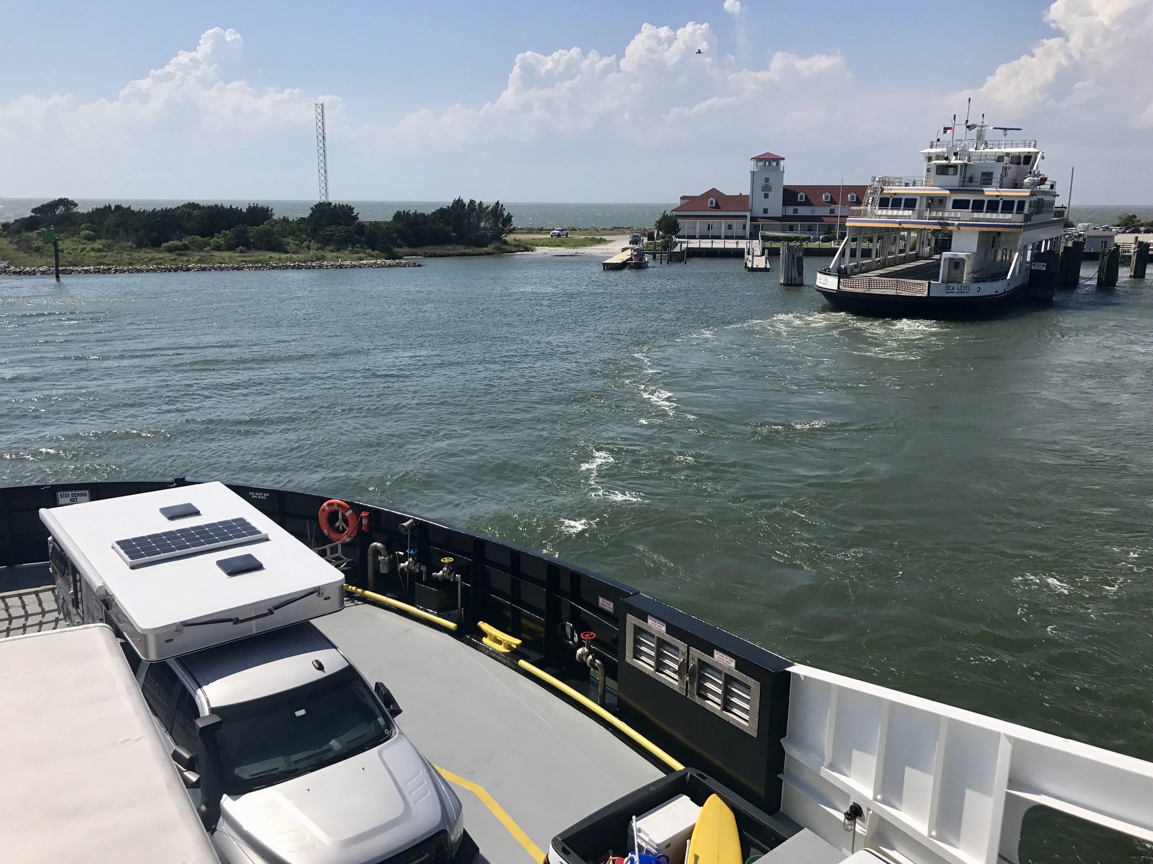
But we still had a couple days before we had to go back to the suck. Up early again for the ferry to the mainland, we were bound for Swan Quarter and points beyond. There are three ways to get to or from Ocracoke Island and the Swan Quarter ferry is the most remote route with only 2 to 4 trips in each direction per day. So you need to be paying attention if you intend to catch a ride to the mainland or risk spending an extra day marooned on the island. Which would really be a bummer.
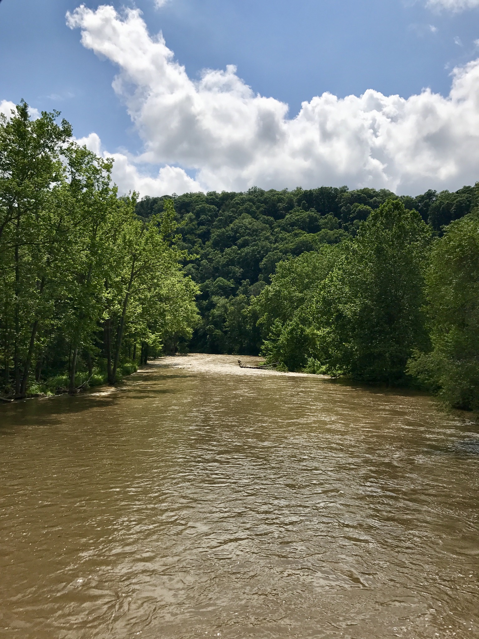
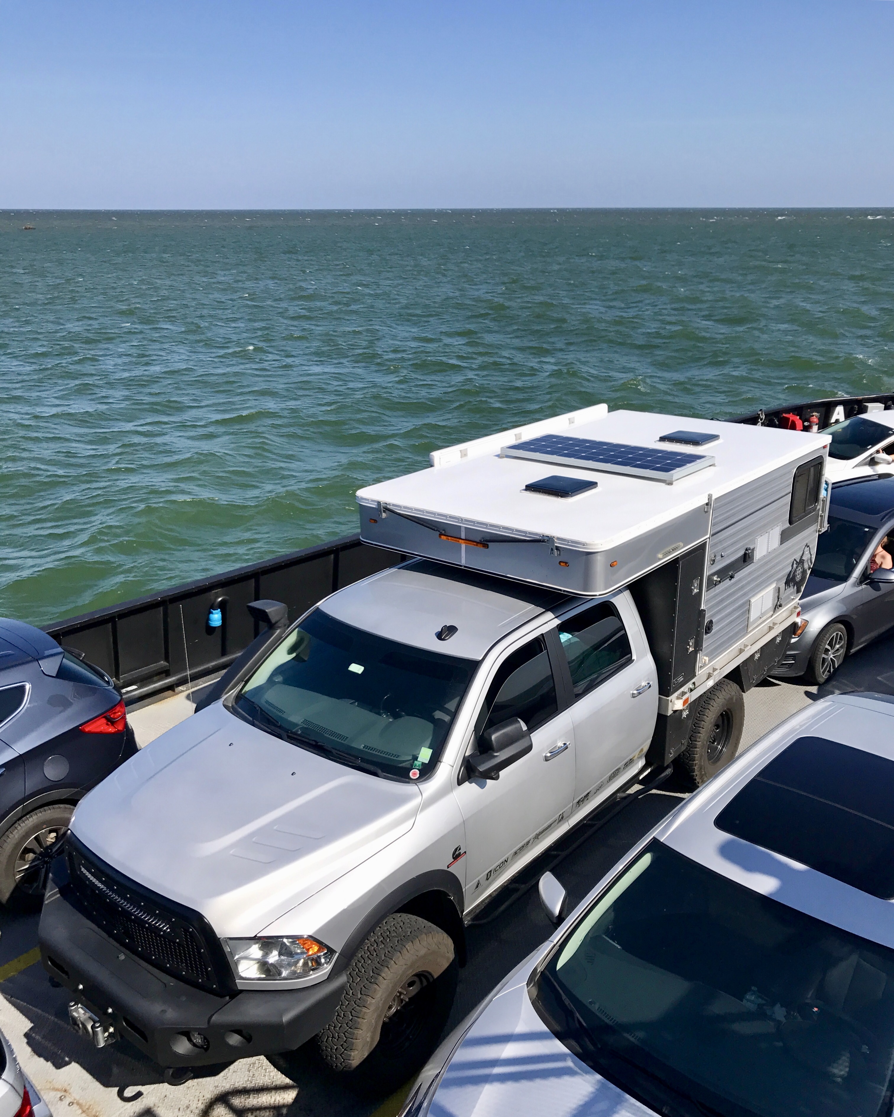
The Swan Quarter ferry has to cross 30 miles of open water on Pamlico Sound so it’s a bit bigger than the one we came from Hatteras on and the lineup of rigs waiting to board was impressive. The weather had been near perfect during our time in OBX but it was taking a turn for the worse now as winds were picking up and making waters choppy. This ride normally takes two and half hours but our ride was more like three hours as the crew successfully avoided darker weather that would have played havoc with their wheeled cargo. I was tired from all the driving on this trip so while the girls enjoyed the air conditioned passenger decks I chose to get in some stealth camping on deck – nap time!
Landing at Swan Quarter, the girls were now tired so they soon nodded off as I made my way inland, following the country highways and byways through eastern North Carolina. My goal was to head for Uwharrie National Forest in the middle of the state and camp at the site of our Appalachian Rendezvous events. Arriving after dark, I quickly made camp before waking the girls up so they could just climb in and go to bed.
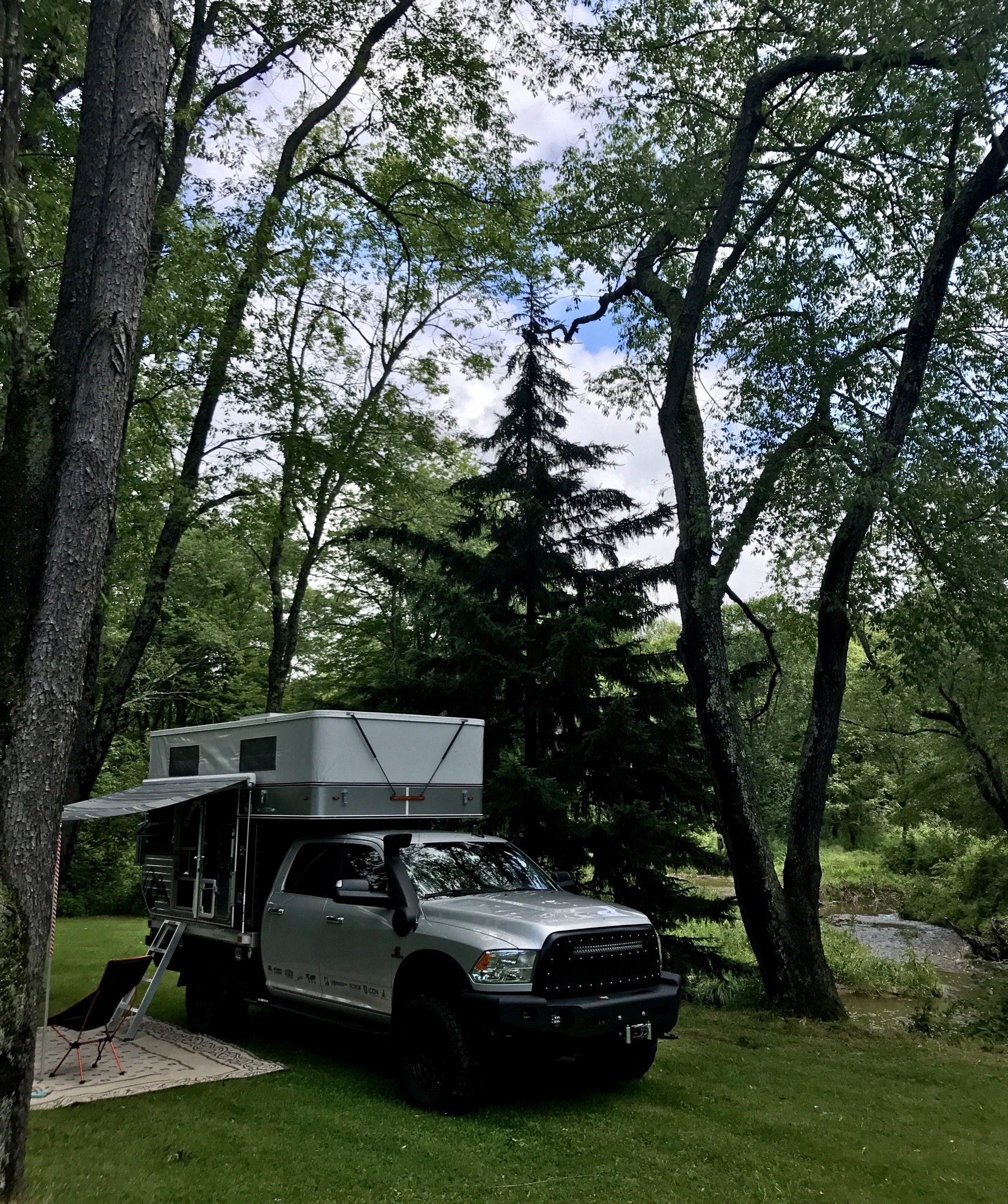
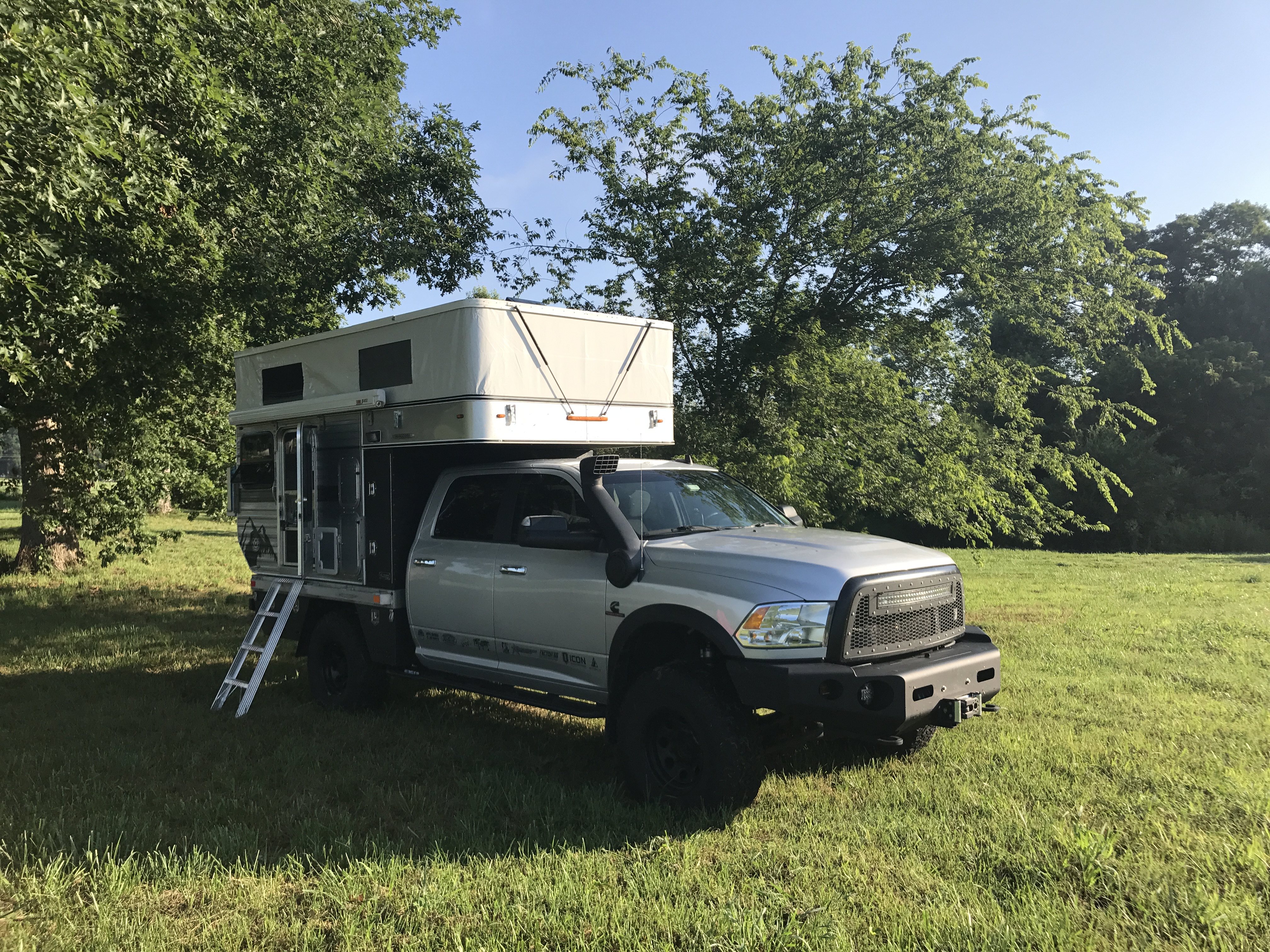
The benefits of the Four Wheel Camper were many on this long trip but the primary one is always convenience, and AT Overland did a great job with this custom conversion. I stop the truck on a level spot and get out and open the camper, pop the roof up and done. Easy peasy. It was really nice on this trip to have soft beds, full bathroom (showers!) and kitchen amenities. And no matter what type of wind and rain is going on outside, it’s watertight and solid as a rock. Speaking of rain, I’ve only been to Uwharrie many times and only once not seen rain, this night it poured on us again but the morning brought blue skies and that hot, sticky humidity that the Carolinas are famous for.
Up early again, we rolled over to the Eldorado Outpost for some of their famous pork tenderloin biscuits and Cheerwine. We made some time here to visit with local friends who had stopped by to see us and I was reminded once again why this area is so remarkable – it’s the people. I’ve travelled the world and never met nicer, more honest or more hardworking people than you’ll find right here in North Carolina. Few places feel like home to a traveler but I’m at home every time I visit this Forest.
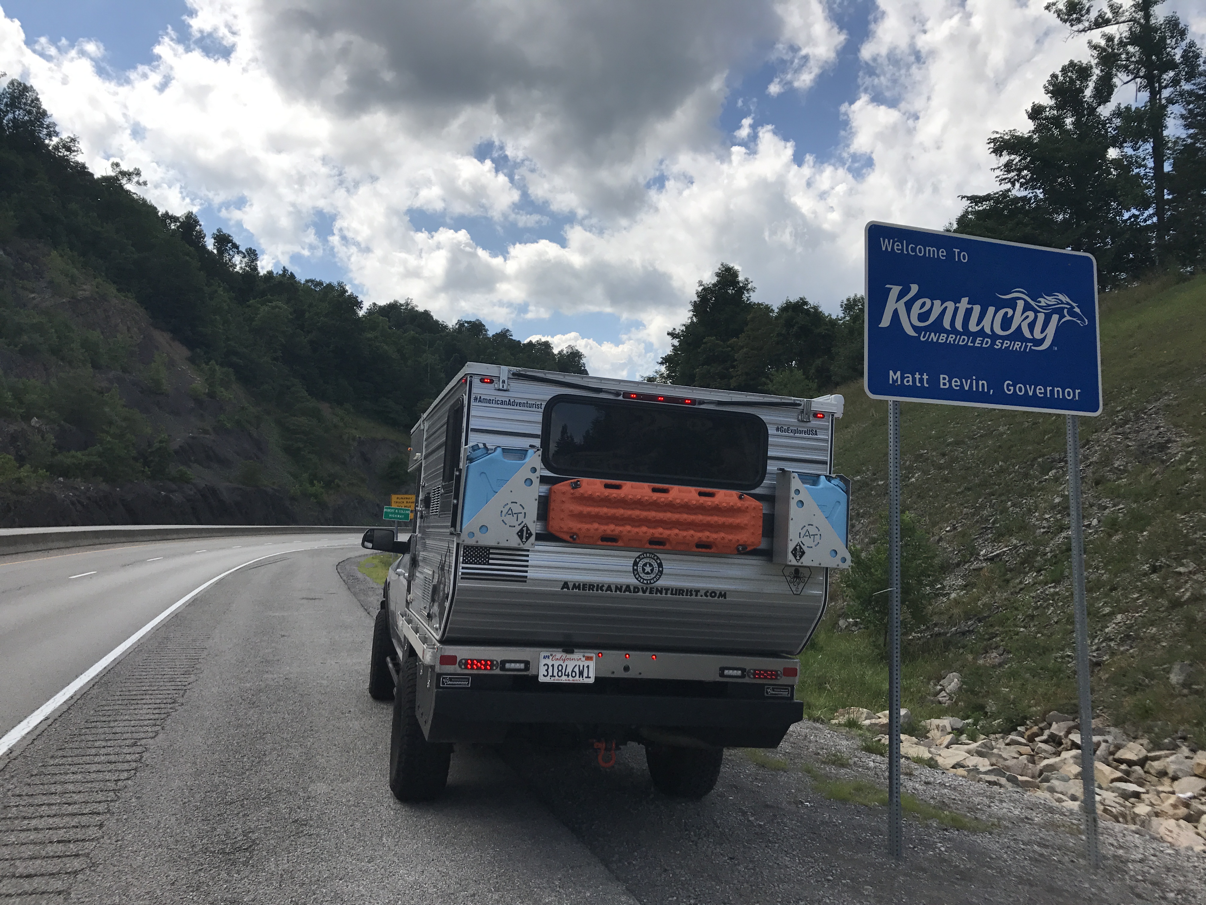
Bidding farewell to the Tar Heel State, I made tracks for the Commonwealth by slicing through the mountainous western reaches of the Old Dominion. Arriving at the Kentucky line I feared we might face more bad weather ahead but it proved to be short lived as skies above gave way to blue with cotton candy clouds.
My goal this leg was Cave Run Lake, Kentucky. Eschewing the nearby over-priced, “ReserveAmerica” debacle that most people seem willing to accept as “camping” nowadays, we took the path less travelled and headed out into the forest in search of a good old fashioned, and free, dispersed camping spot.
We made camp for the last time on this trip on a ridge high above the lake. No one here but us. The Daniel Boone National Forest made for a peaceful last night on the road as we settled in here, surrounded by sights and sounds of the forest, unmolested by insects or any bipedal pestilence in our hideout high above the lake.

Morning came and it was back on the road, carving our way through Kentucky and Indiana before arriving home on the north shore of Lake Michigan in Illinois. This trip was a blessing for all of us as the hard work of the “build phase” of this vehicle project was rewarded over ten long days on the road together exploring America.
And now we can’t wait to get out and go again!
NOTE: Full build details on the vehicle and the camper are well documented HERE and HERE.