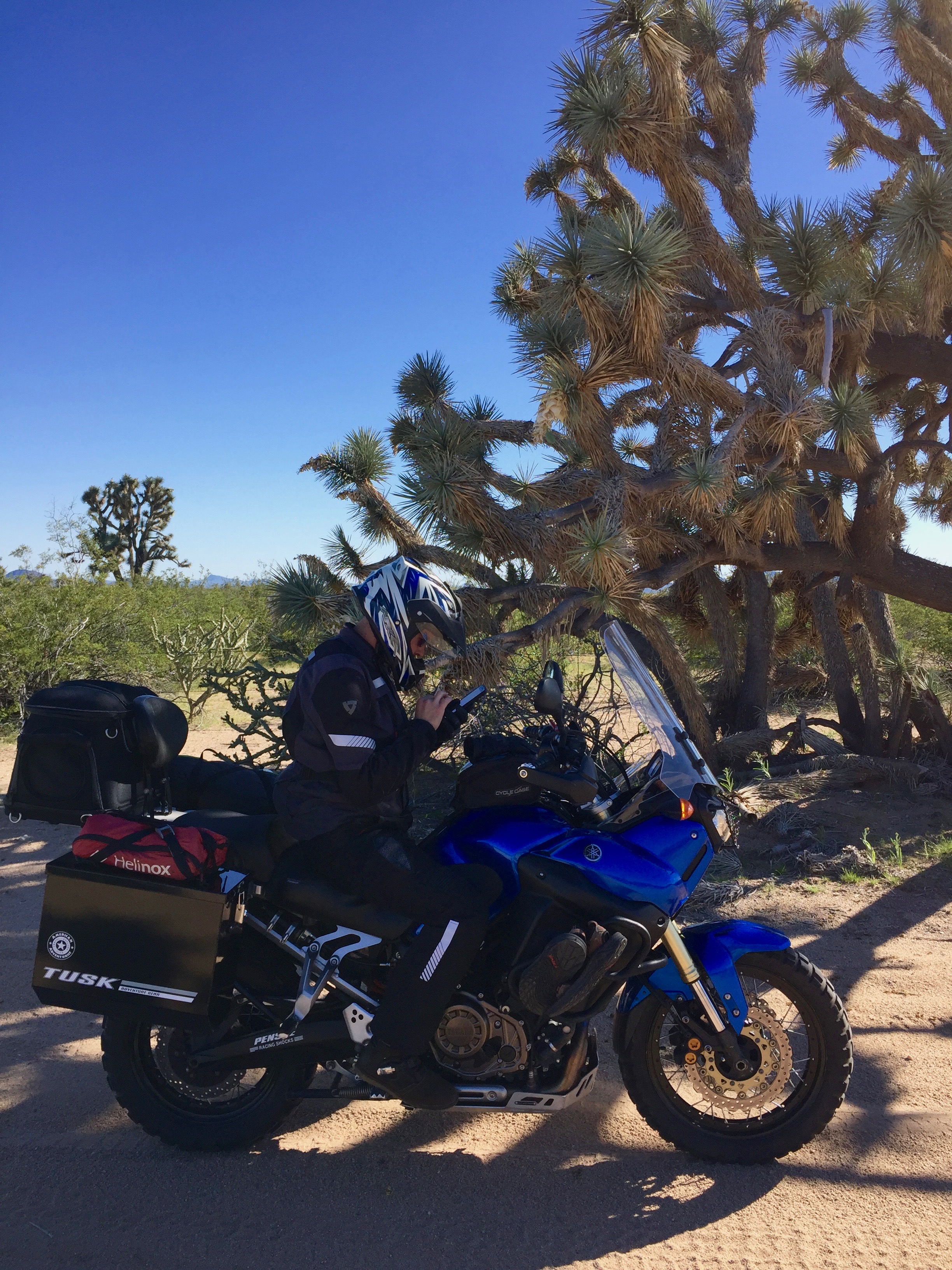

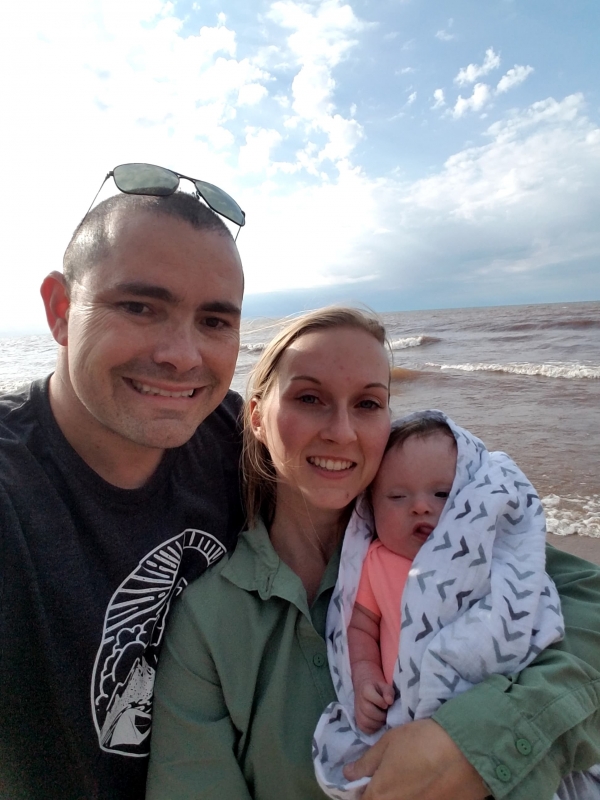
In May we had the opportunity to take a long awaited 4-day trip to the western portion of Michigan’s Upper Peninsula aka the UP (or “Yoop” in local slang). It was an amazing trip that did not disappoint, and really spiked our interest to see more of this vast region!
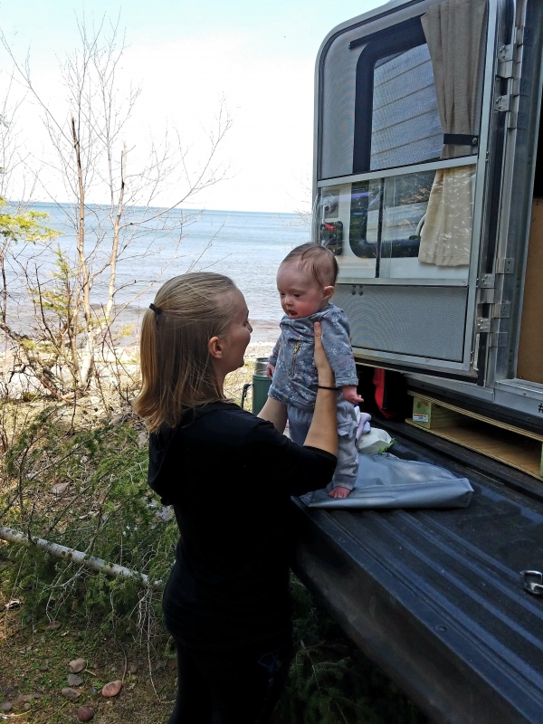
First place we headed was to the Porcupine Mountains. We did a quick drive around the Wilderness State Park and cruised through to the other side to see the Lake of Clouds. Unfortunately, it was getting late and we hadn’t eaten lunch yet (which meant hangry was right around the corner for me), and we had a fussy baby on our hands. Then we realized there was a fee to get back there, so we decided to see it another time. I’m sure we missed an incredible picture op and view from all the descriptions and the pictures that we have seen. But, it gave us something to have to go back for! Headed out of the park towards Houghton, we stopped along the coastline to feed Kaylee and make some lunch in the form of carnitas tacos. They were delicious and the view was incredible!!
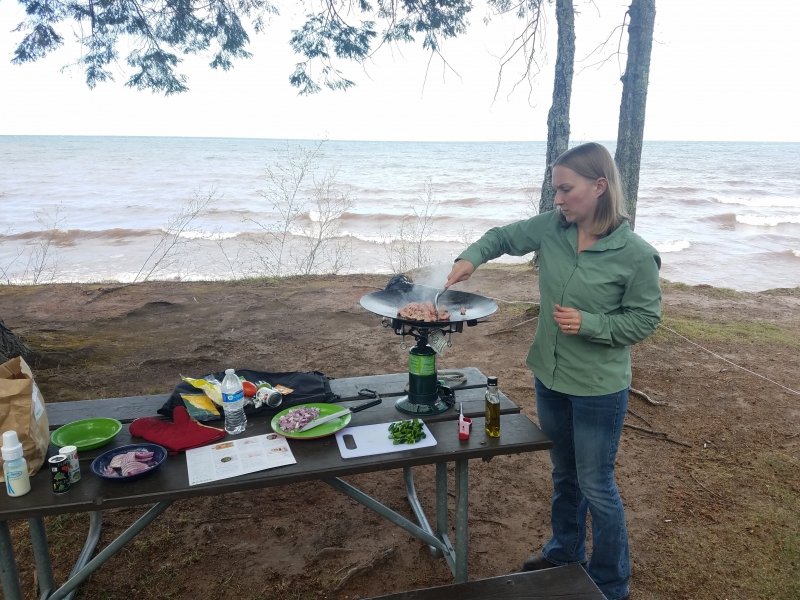
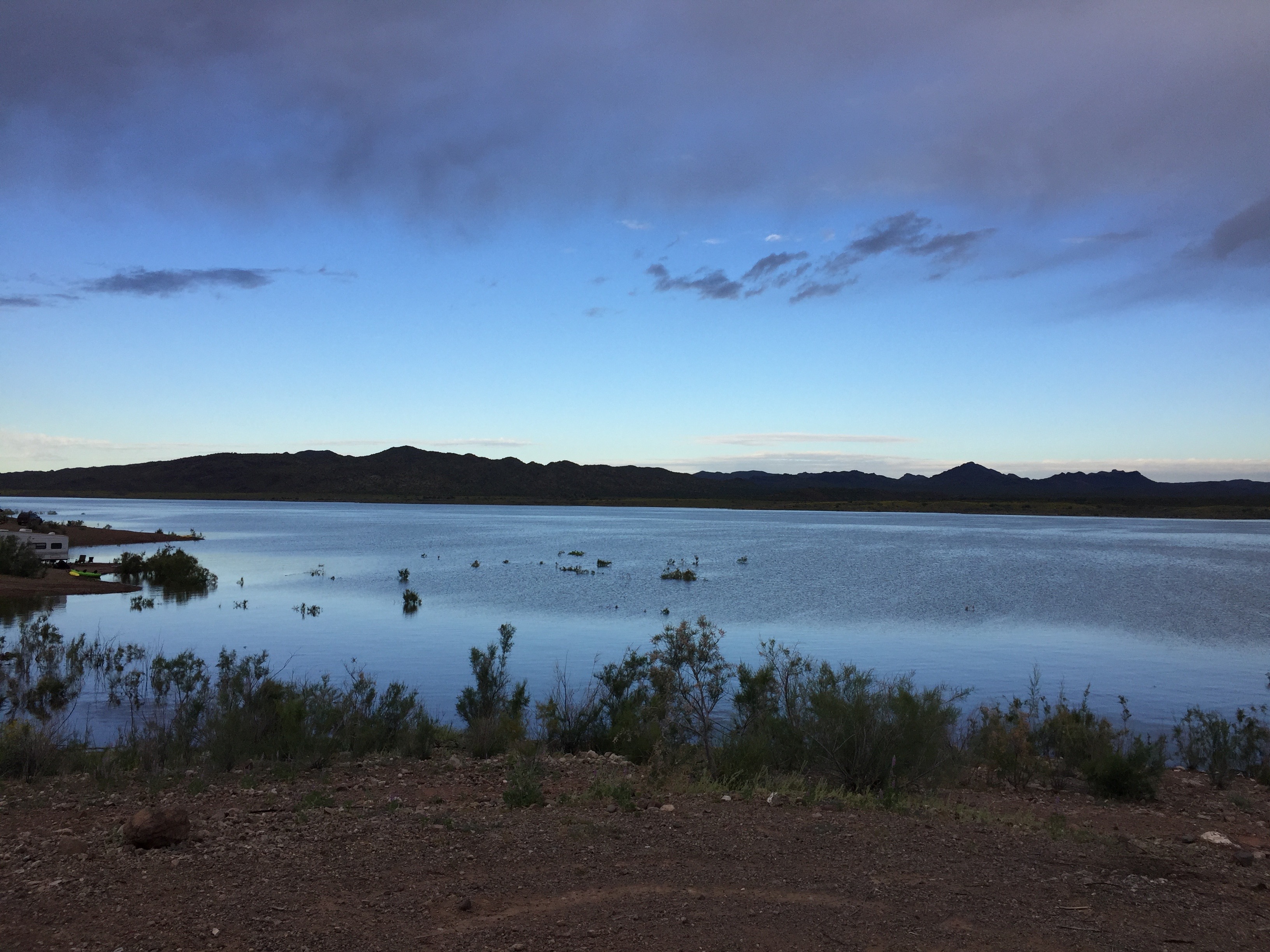
The one thing we noticed about Lake Superior was that it reminded us of the ocean. It is HUGE, has the waves of the ocean, the breeze of the ocean, but lacked the smell, the salt, and crabs scurrying around. We decided instead of pushing through we had better find somewhere nearby to camp. We came across the Ontonagon Township Park where we were able to camp right on the beach. I highly recommend the campground if you are in the area. We walked around, explored the beach and after making dinner, we settled by the fire and watched the sun go down. We ended the night with smores before headed to bed. We slept like babies to the sound of the ocean lake. We didn’t even need the sound machine for Kaylee.
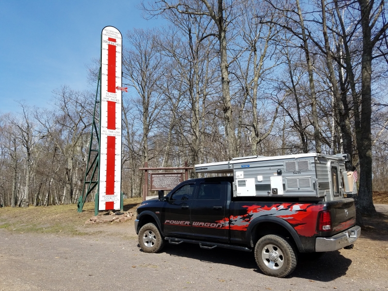
Lake Superior Fun Facts:


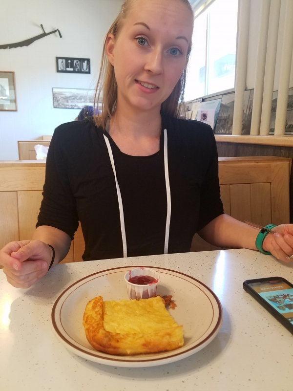
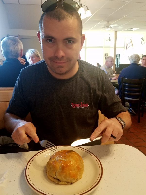
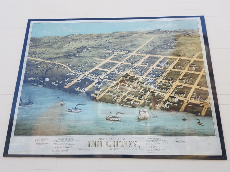
The following morning we had some bacon and eggs cooked on our trusty Tembo Tusk skottle and then packed up to continue up north. We drove through the town of Houghton where we stopped at the Suomi Café, known for Finnish food, and tried their famous Pasty and Pannukakku. They were both scrumptious (write up of this café will be under our Good Eats section soon on our site at Lone Star Adventurer).

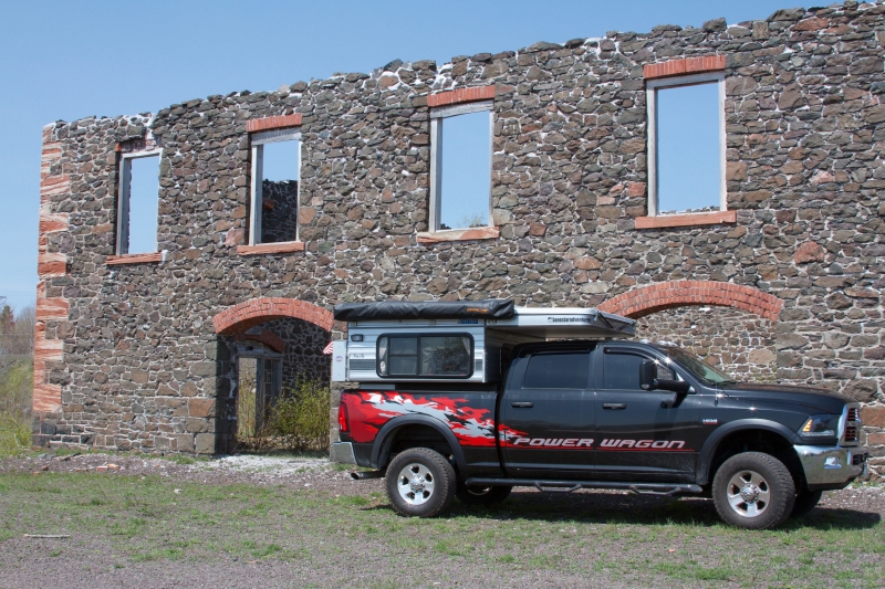
After stopping for our snack, we hit up the Quincy Mine across the river from Houghton in Hancock, MI, before continuing our journey to High Rock Bay. Once again, pressed for time, we only perused the outside of the mine. The Quincy Mine was founded in 1846 and was the country’s leading copper-producing mine from 1863-1867. Mining operations have been closed since 1945. On the premises, you could see remaining hoist houses, shaft houses, and even able to look down one of the mining shafts.

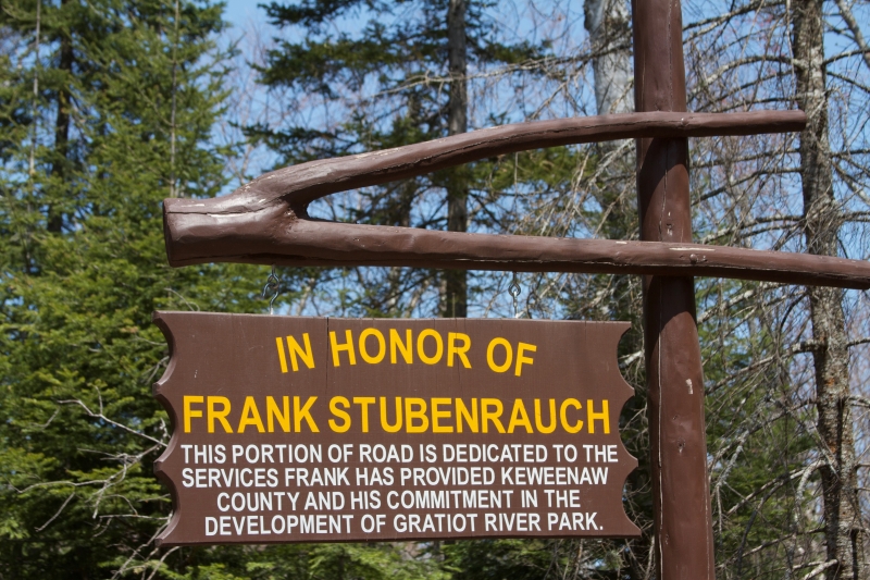
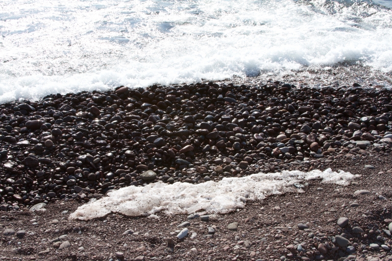
We left the mine and were given a tip to check out the Gratiot River County Park located off Gratiot River Shortcut Rd in Allouez, MI. It is was trip down a couple mile long dirt road trail that suddenly opens up to a beautiful view of Lake Superior’s 8,489ft sand, slate, and cobble shoreline. There are several dispersed campsites back here if you are lucky to nab one. We walked the beach and found lots of interesting rocks.
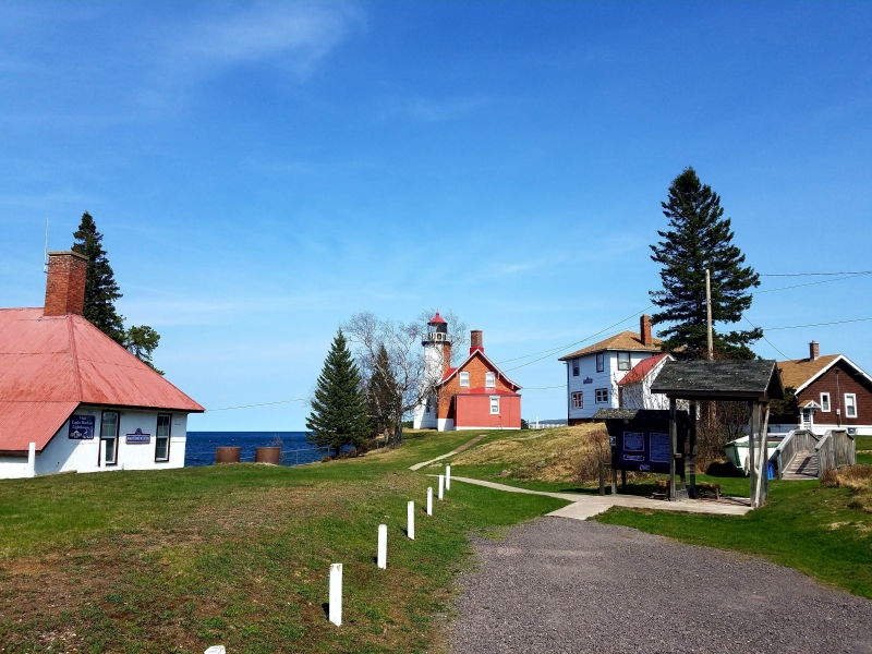
After checking out the area, we backtracked to the US-41/I-26 and towards Eagle Harbor where we checked out their lighthouse. The red brick Eagle Harbor Lighthouse sits on the rocky entrance to the harbor and is a working lighthouse as it still guides mariners across the northern edge of the Keweenaw Peninsula. The original lighthouse was built in 1851 and was replaced in 1871. It is said that you could occasionally see the northern lights displaying their beauty from here.
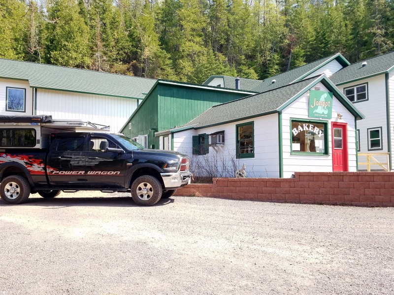
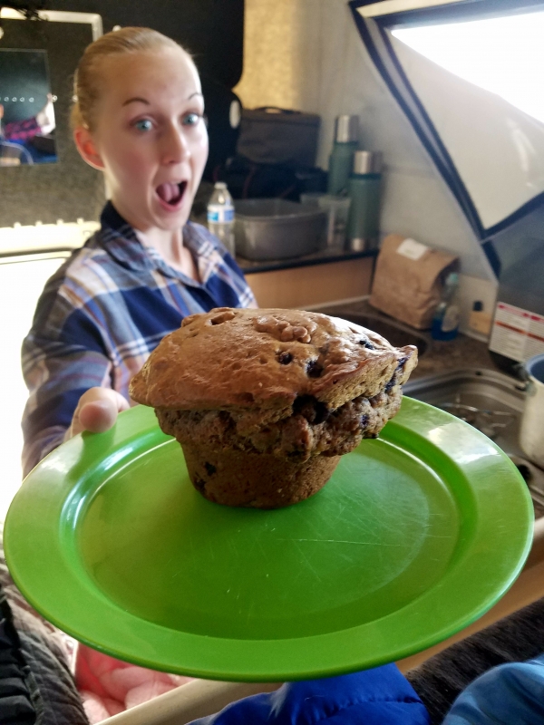
Following this, we stopped at the Jampot (a must see stop if you are in the area) which is a Catholic monastery of the Byzantine Rite operated bakery. They offer a variety of jams, jellies, preserves, fudge, and baked goods including giant muffins, lemon cakes, delicious peanut butter & jelly brownies and one of the best fruitcakes we had ever had. I could literally eat this every day!
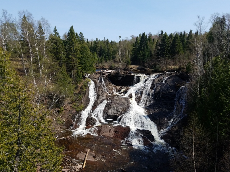
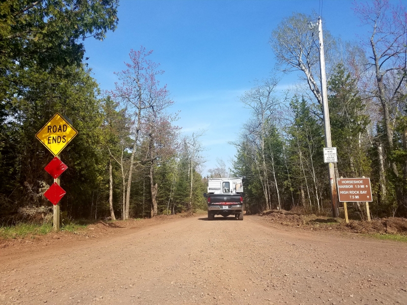
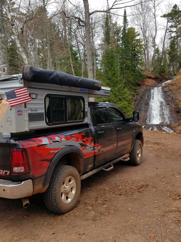
We came across a few waterfalls on our travels, one of which was right before the Jampot on the right. Leaving the Jampot, we headed even further north. Refueling in the quaint village town of Copper Harbor, we hit the dirt trail to High Rock Bay.

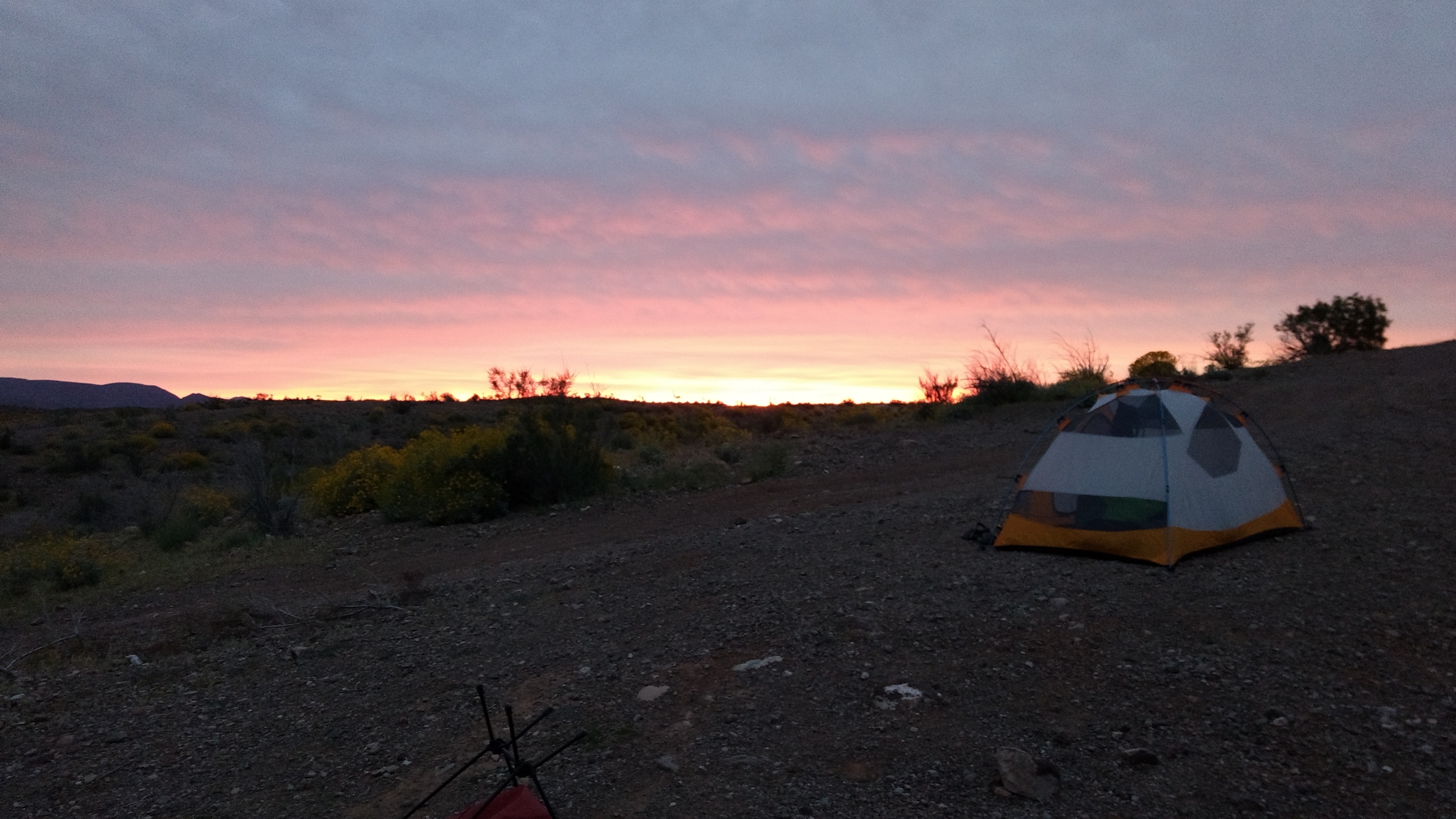
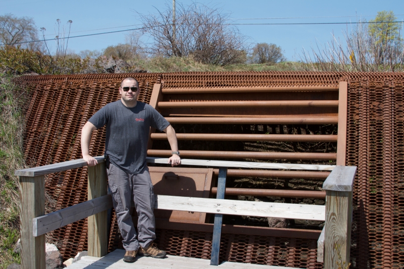
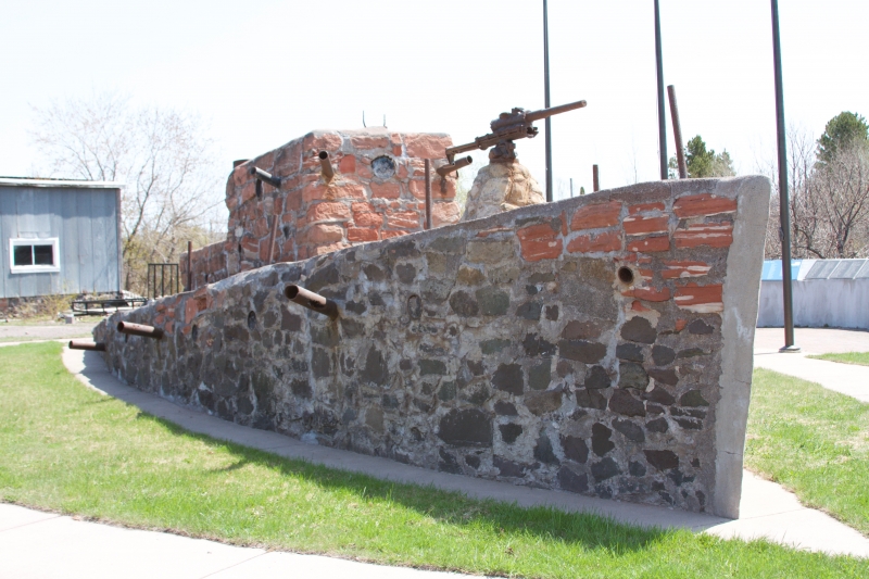
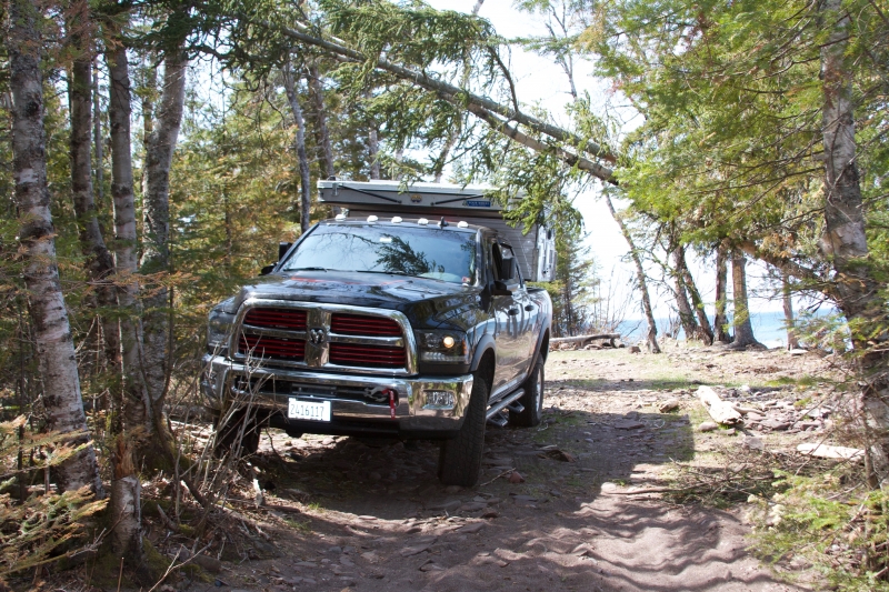
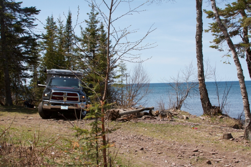
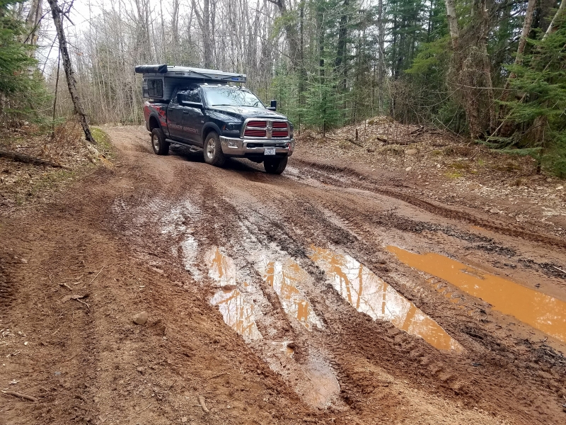
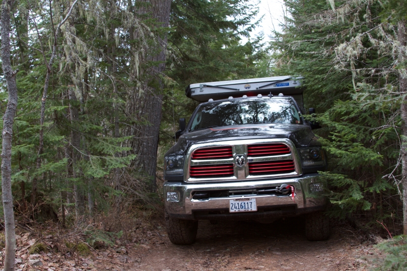
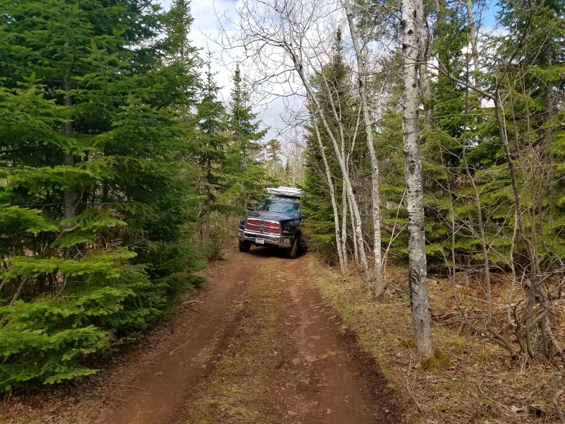
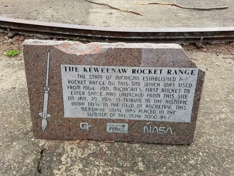
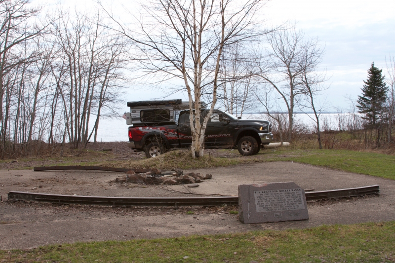
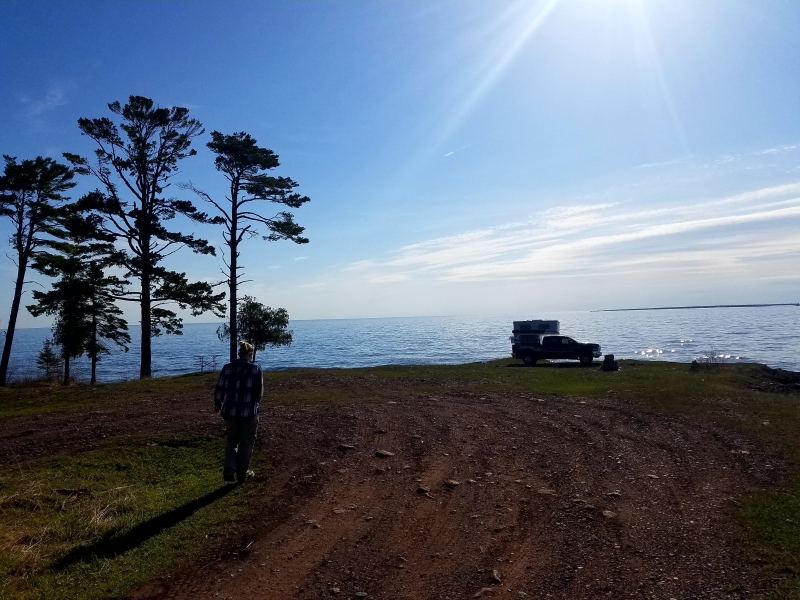
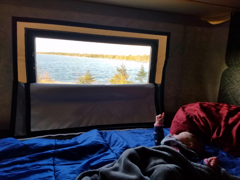
With no cellular service and going off of Gaia maps and friends’ gpx tracks, we went down the trail for what seemed like over an hour until we reached the stop sign at the end of the trail. We were going to camp right at the point, but because the wind was strong and cold off the ocean lake, we chose to go a little further back, but did manage to take in a photo op first. We had some dinner and watched a movie on our good old iPad (peaking out the window at the beautiful view due to the freezing wind chill) and set out in the morning to walk around and explore. Before leaving the next morning, we worked our way down another very tight trail to check out the Keweenaw Rocket Range.

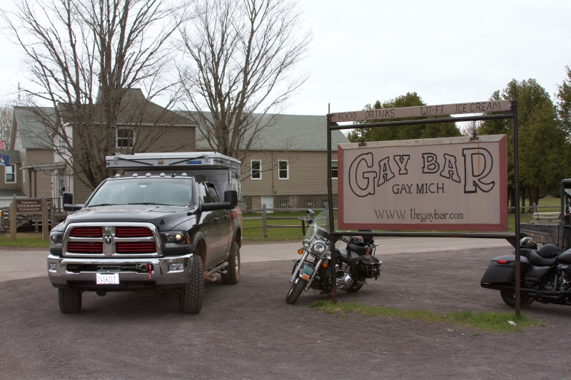
We knew our trip was coming to an end, but we still had one more night and we didn’t have a set plan for it. We stopped by to check out the Gay Bar in Gay, MI that people were telling us to visit. When in Gay, you go the Bar.
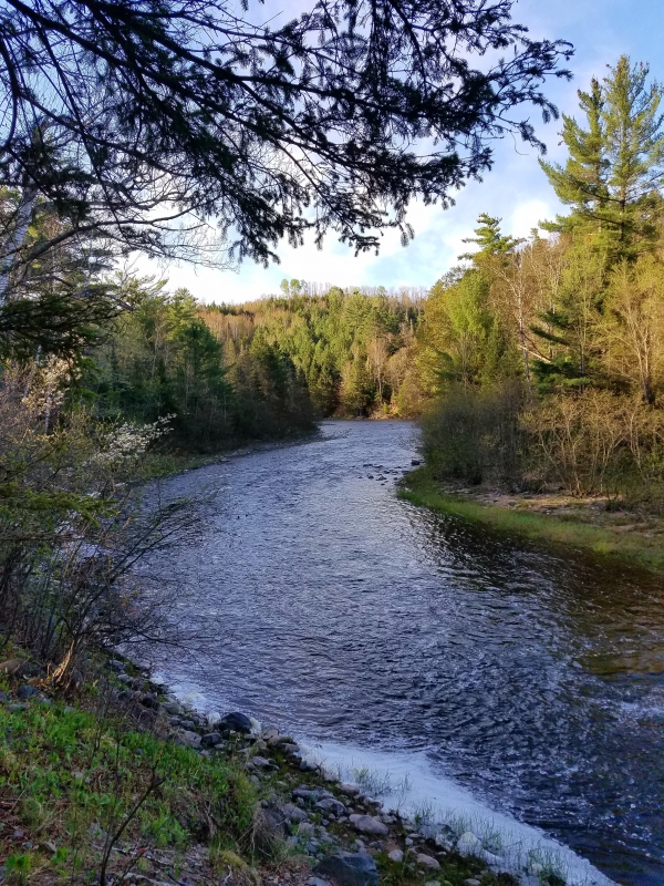
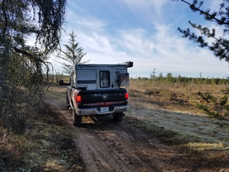
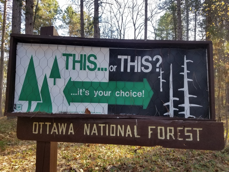
We decided to work our way closer to home so that we could get back home in Illinois semi-early the next day. We ended up stopping in the Ottawa National Forest nestled along the Sturgeon River before hitting the pavement for good.