We started out with a simple plan: Do as much of Death Valley and it's surroundings as possible in a 4 day weekend with AAV Originals Trump, Mitch and Mike.

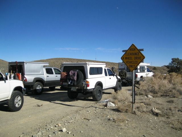
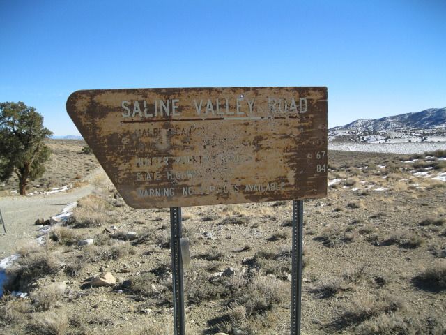
Day 1 was from home up the 15 to the 395 and on to Big Pine for lunch and fuel before heading into Saline Valley from the north over Waucoba/Death Valley/Saline Valley road.
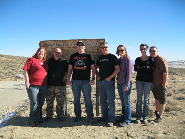
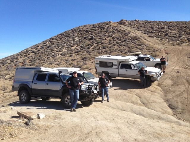
From L to R: Lisa, Mike, Me, Mark, Heidi, Apryl and Mitch
Snow in the Sierras
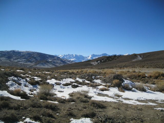
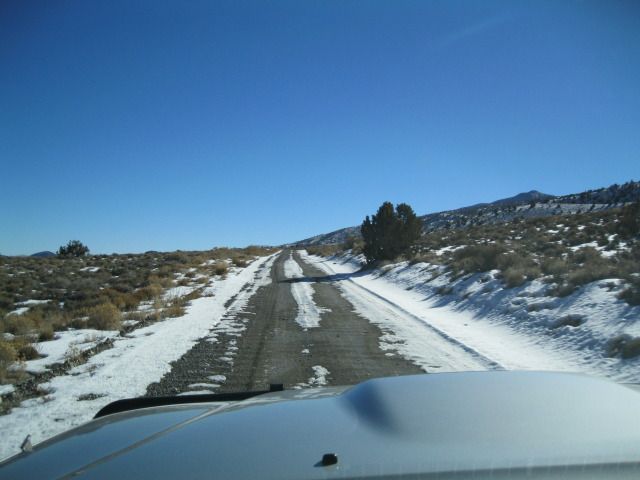
Some snow and patches of ice going in but easy overall
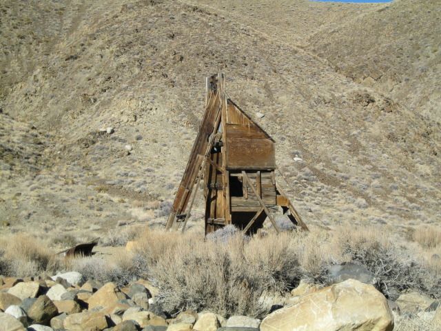
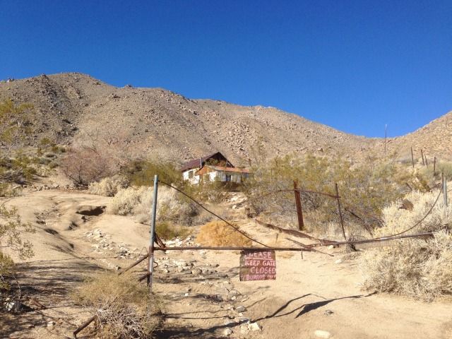
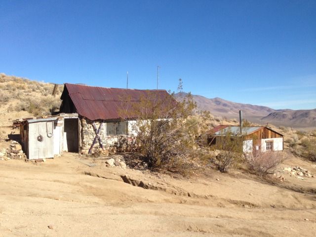
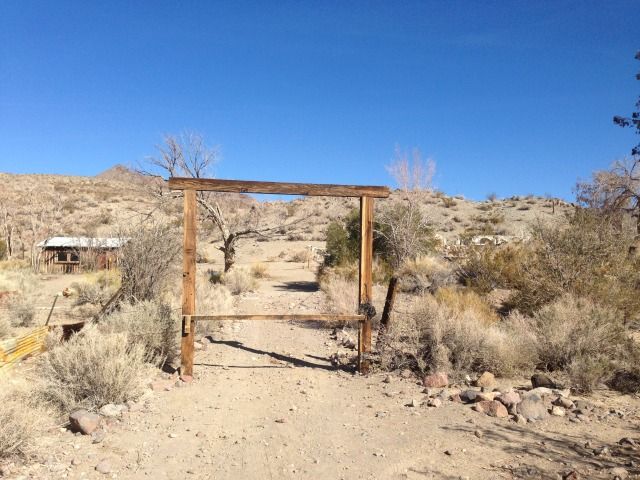
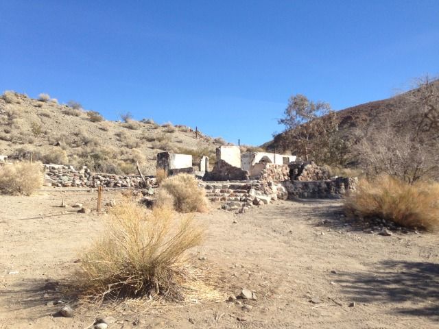
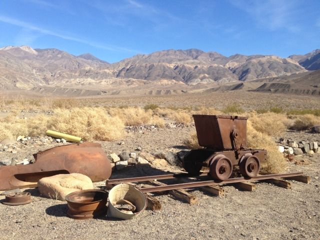
Old mining operations
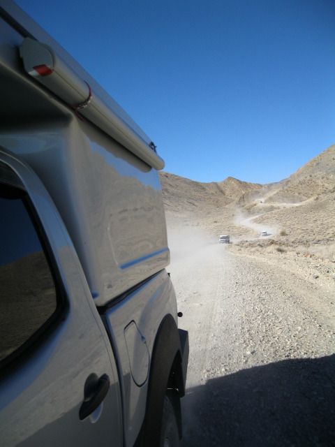
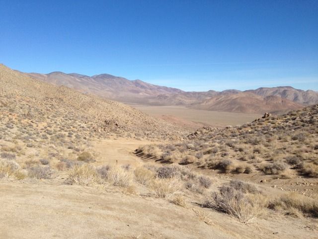
Saline Valley!
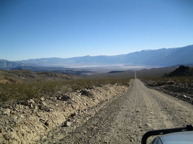
Bat Rock Road: Gateway to Saline Valley Hot Springs
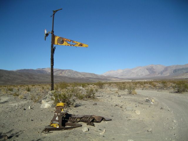
Or Saline Valley Warm Springs depending where you read it. Amazing place. Hippie culture. 100% off the grid and maintained by volunteers and good karma. We didn't want to leave here.
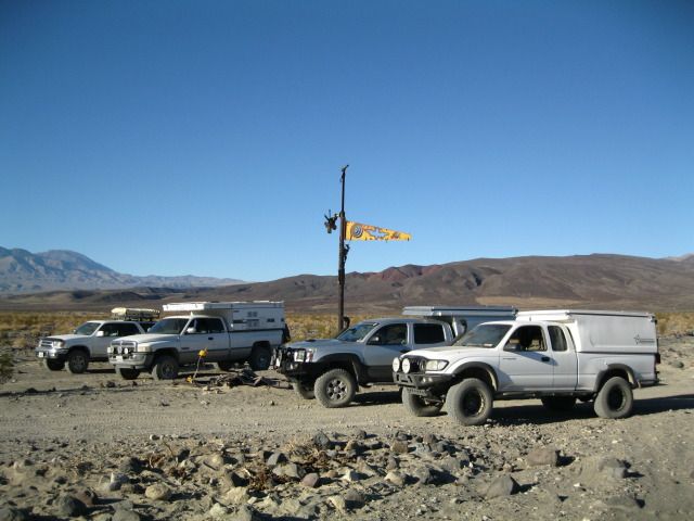
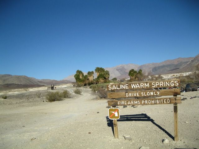
The feeding of the Burros at the springs has led them to raid food lockers and other rowdy behavior. They know how to open coolers... help keep them wild (and alive) by not feeding them.
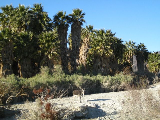
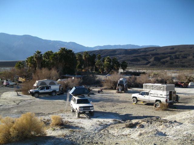
Middle Springs. Lots of great camp spots here, a shaded grassy area, fire rings and two nice pit toilet bathrooms put in by NPS. And lots of hot water in the pools and a shower!
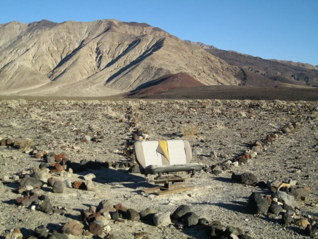
Joint Point. What's that in the distance?
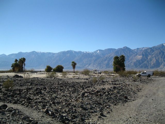
Heading over to the Upper Springs
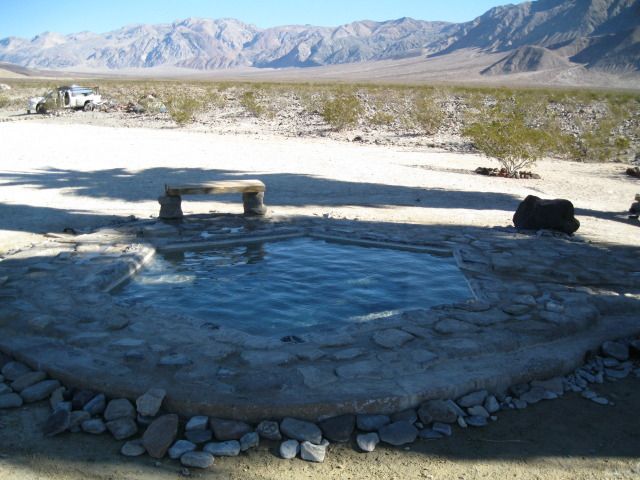
The Wizard Pool
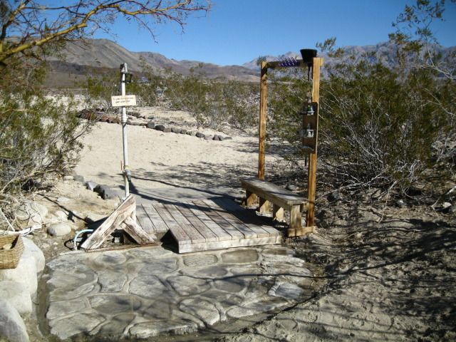
Hot shower... priceless.
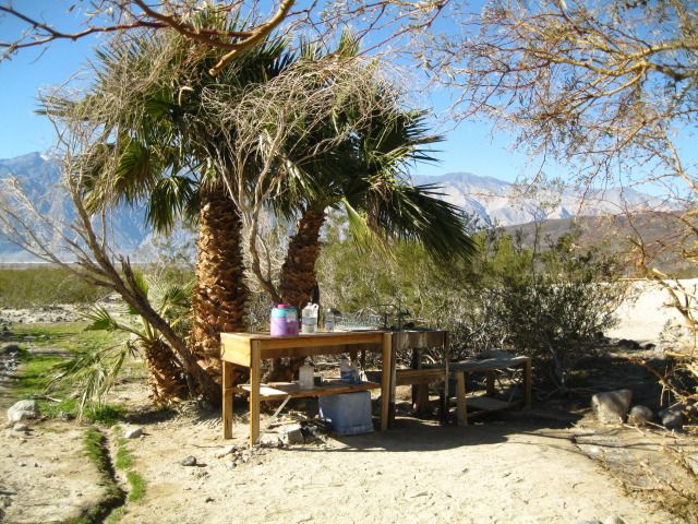
Dishwashing/laundry area
Volcano Pool aka Barnacle Pool
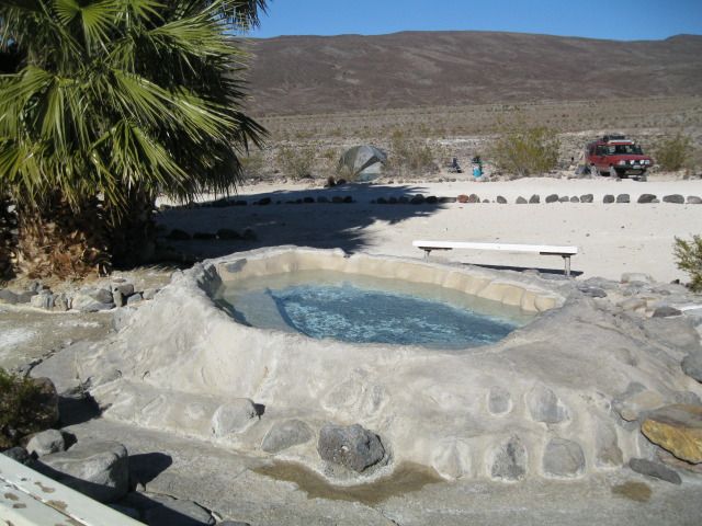
Volunteers keep these pools super clean, and there is a constant inflow of fresh hot water from deep in the earth
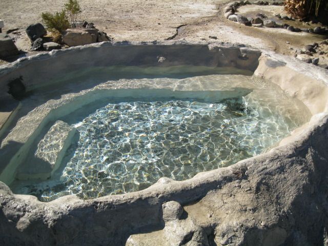
The "Source" at Upper Springs. Keep out!
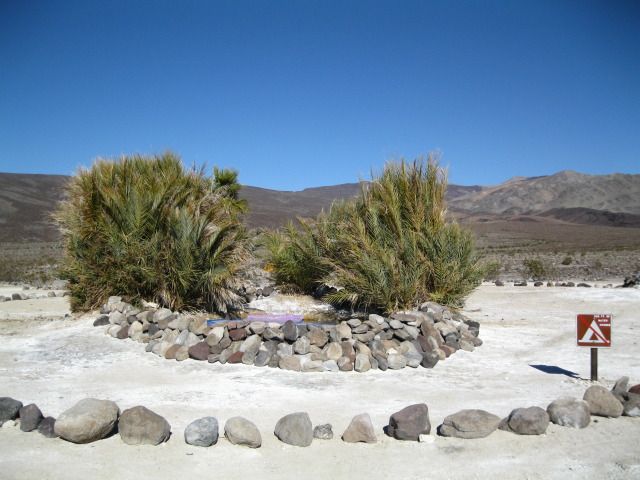
Headed back down to Middle Springs on our way out towards Saline Valley Road and beyond. Inyo Mountains in the distance.
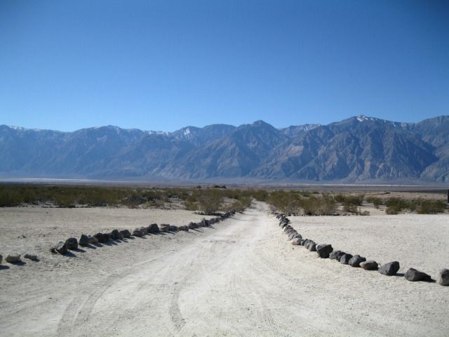
View of Middle Springs from Upper Springs. Note one of two NPS built vault toilets.
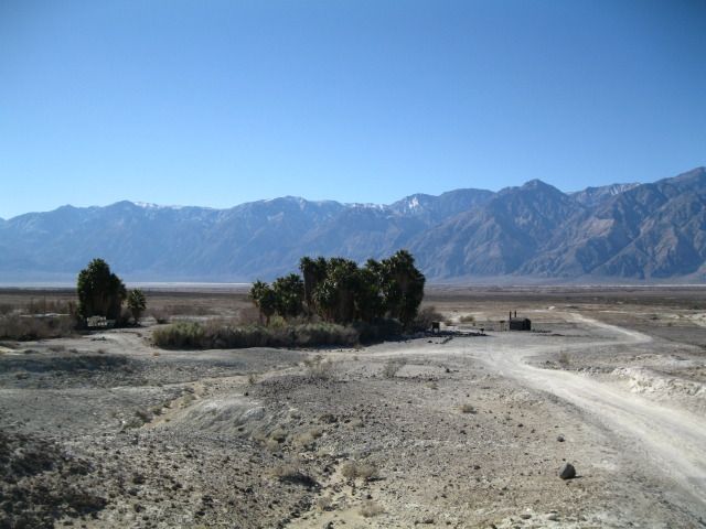
Leaving paradise behind...
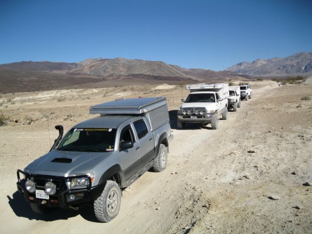
Day 2 saw us pushing on to the next nights camp at Mesquite Spring.
Reluctantly leaving the Hot Springs behind, we passed the dunes enroute to the Salt Tram remains and the famous Saline Valley washboards... they will test your rig and it's hardware every time.
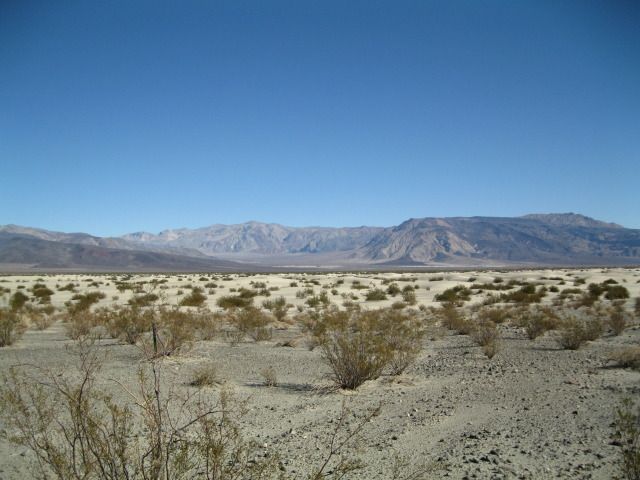
Sand!
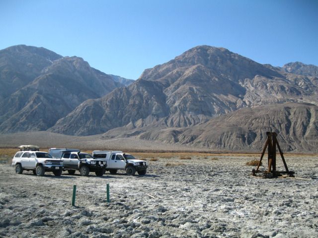
Salt Tram over the Inyos
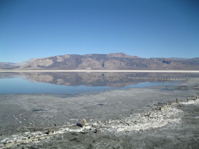
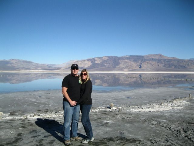
Me and the Missus
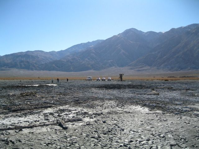
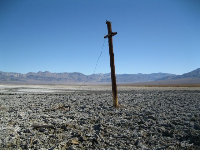
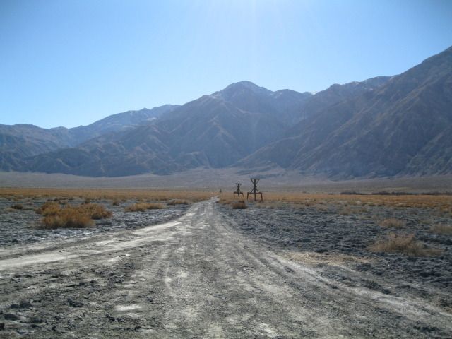
Lunch on the road
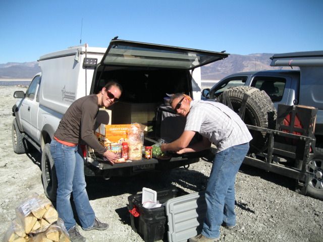
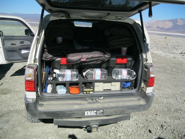
Mitch's meticulous organization
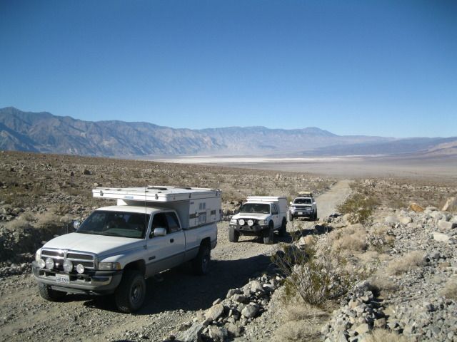
Headed south on Saline Valley road enroute to Lippincott aka Ubehebe road
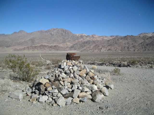
Turn off onto Lippincott
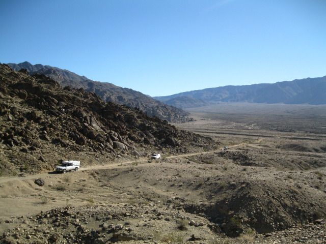
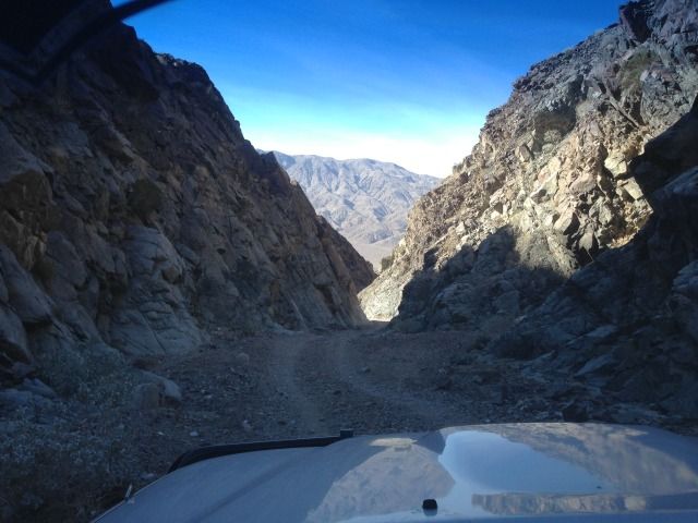
Headed up into the Panamints
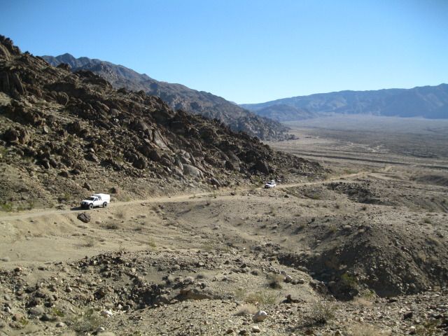
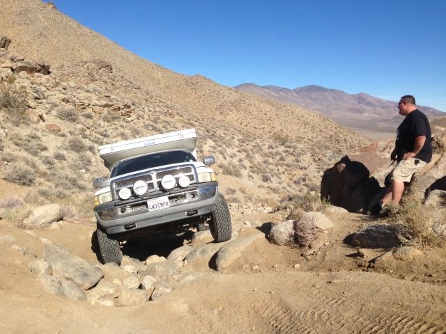
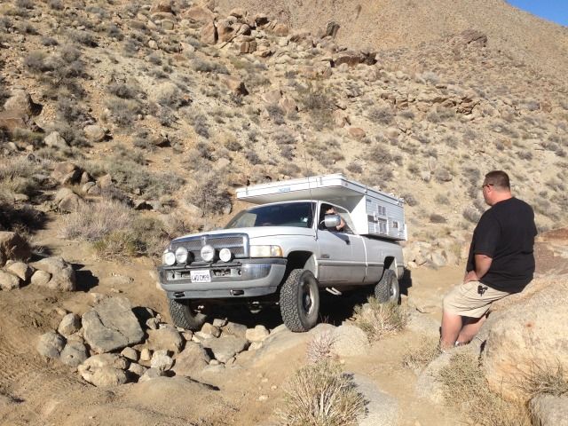
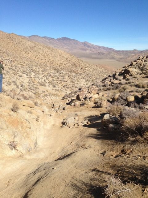
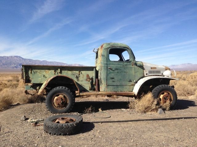
Looking to see if the Dodge could make this washout (one of many). No problem.
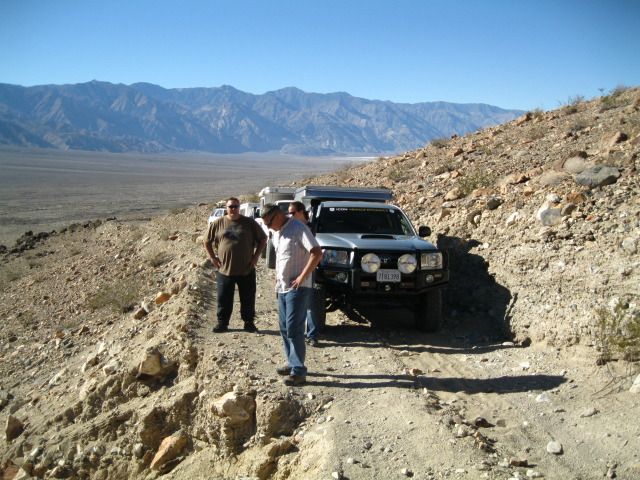
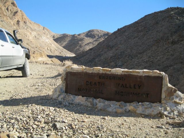
Looking back into Saline Valley towards the Inyos
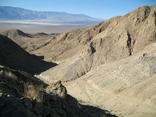
Top of Lippincott and as far as you'll get in a rental car from the south...
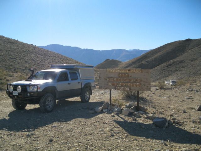
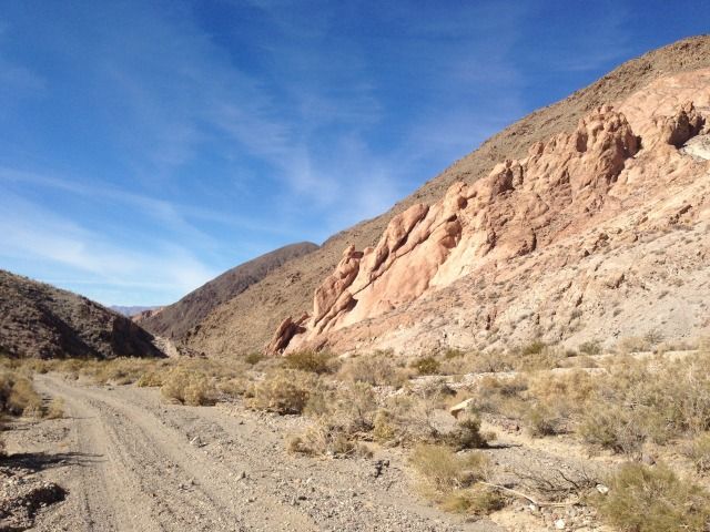
After the climb up Lippincott it was faster going to the Racetrack and beyond.
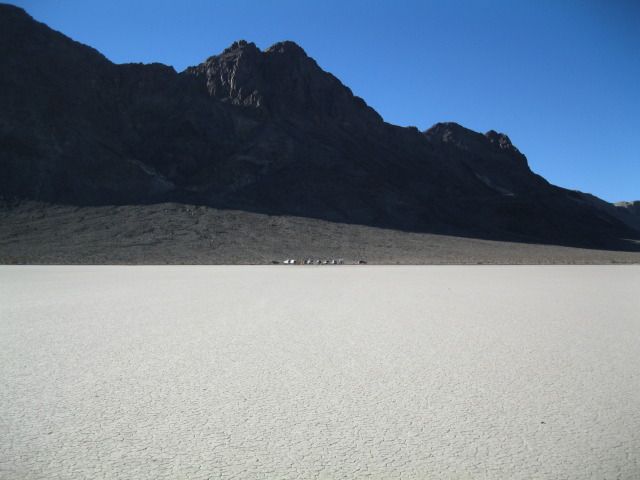
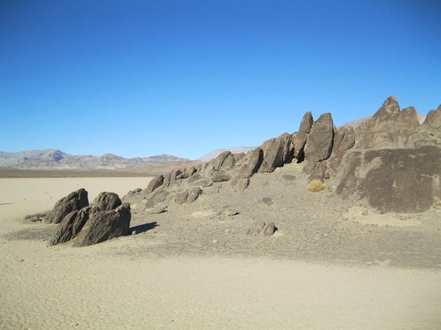
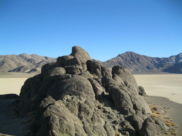
The Playa
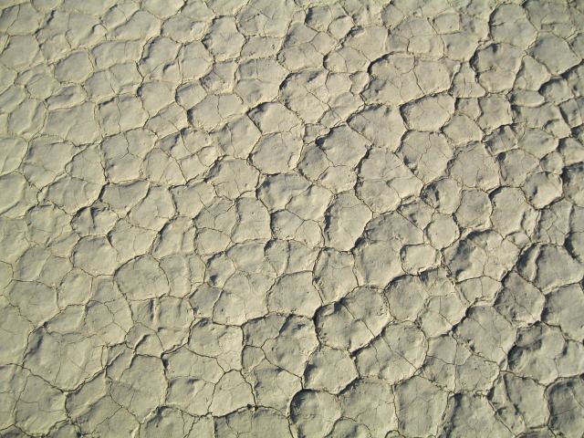
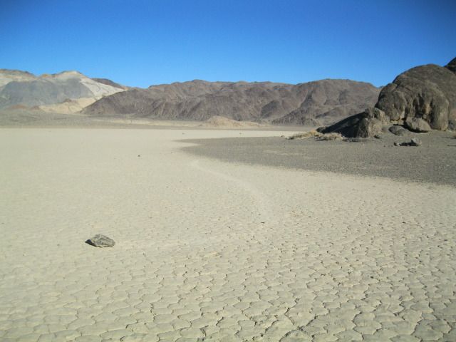
Magic rocks
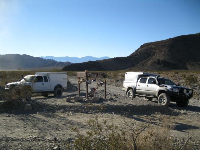
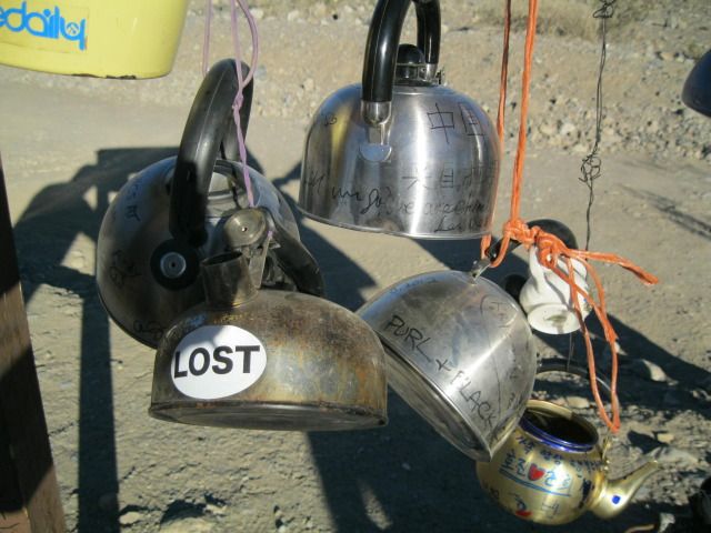
Teakettle Junction
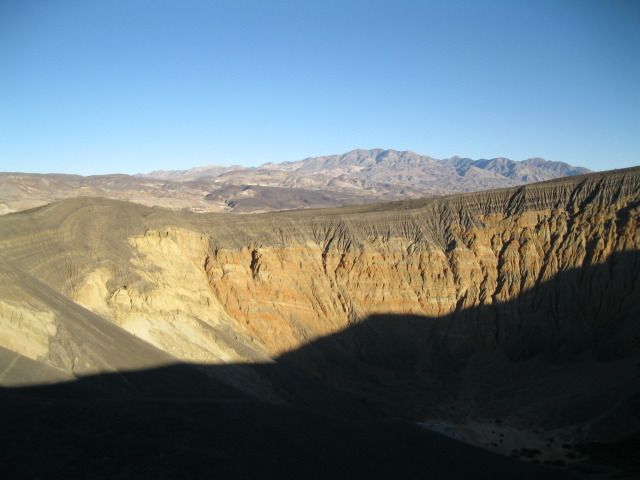
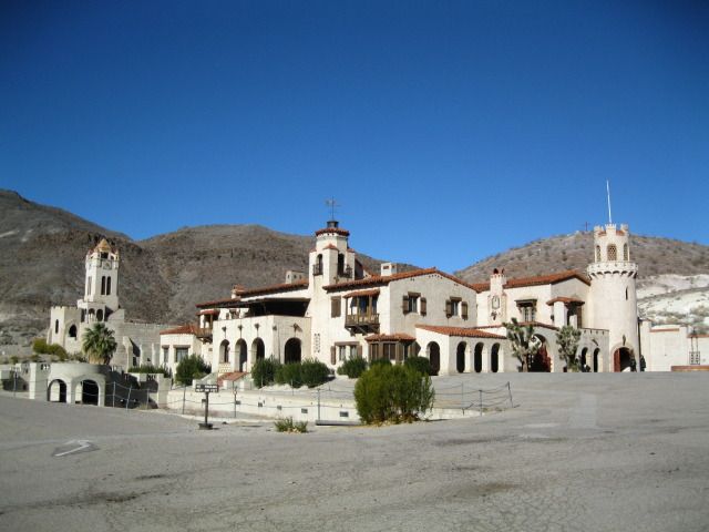
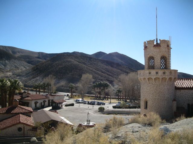
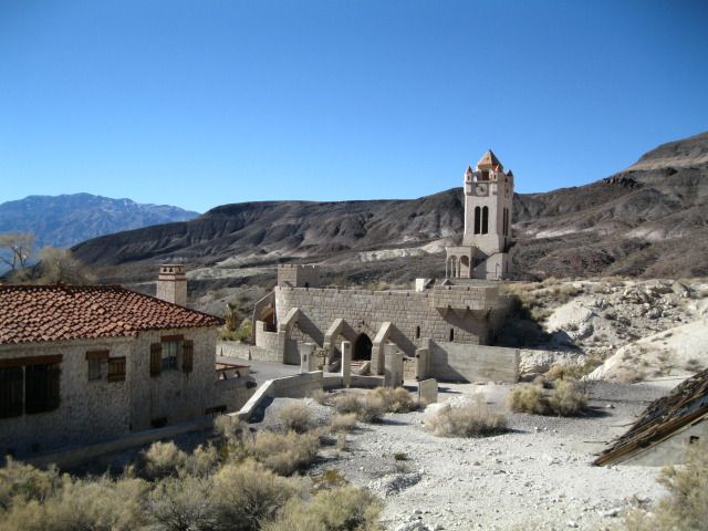
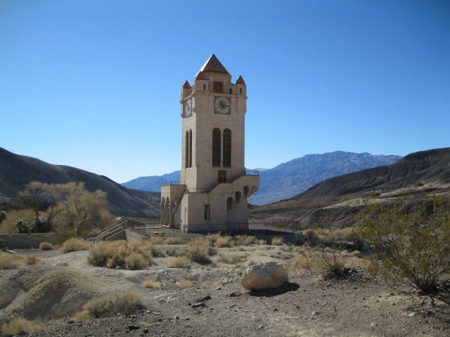
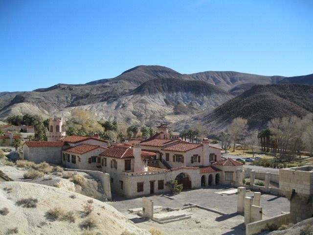
Ubehebe Crater... sun was low... We decided to air up and head for camp at Mesquite Spring and hit Scotty's Castle in the morning...
Day 1 was from home up the 15 to the 395 and on to Big Pine for lunch and fuel before heading into Saline Valley from the north over Waucoba/Death Valley/Saline Valley road.


From L to R: Lisa, Mike, Me, Mark, Heidi, Apryl and Mitch

Snow in the Sierras

Some snow and patches of ice going in but easy overall

Old mining operations


Saline Valley!

Bat Rock Road: Gateway to Saline Valley Hot Springs

Or Saline Valley Warm Springs depending where you read it. Amazing place. Hippie culture. 100% off the grid and maintained by volunteers and good karma. We didn't want to leave here.


The feeding of the Burros at the springs has led them to raid food lockers and other rowdy behavior. They know how to open coolers... help keep them wild (and alive) by not feeding them.

Middle Springs. Lots of great camp spots here, a shaded grassy area, fire rings and two nice pit toilet bathrooms put in by NPS. And lots of hot water in the pools and a shower!

Joint Point. What's that in the distance?

Heading over to the Upper Springs

The Wizard Pool

Hot shower... priceless.

Dishwashing/laundry area

Volcano Pool aka Barnacle Pool

Volunteers keep these pools super clean, and there is a constant inflow of fresh hot water from deep in the earth

The "Source" at Upper Springs. Keep out!

Headed back down to Middle Springs on our way out towards Saline Valley Road and beyond. Inyo Mountains in the distance.

View of Middle Springs from Upper Springs. Note one of two NPS built vault toilets.

Leaving paradise behind...

Day 2 saw us pushing on to the next nights camp at Mesquite Spring.
Reluctantly leaving the Hot Springs behind, we passed the dunes enroute to the Salt Tram remains and the famous Saline Valley washboards... they will test your rig and it's hardware every time.
Sand!

Salt Tram over the Inyos


Me and the Missus


Lunch on the road

Mitch's meticulous organization

Headed south on Saline Valley road enroute to Lippincott aka Ubehebe road

Turn off onto Lippincott

Headed up into the Panamints


Looking to see if the Dodge could make this washout (one of many). No problem.


Looking back into Saline Valley towards the Inyos

Top of Lippincott and as far as you'll get in a rental car from the south...

After the climb up Lippincott it was faster going to the Racetrack and beyond.

The Playa

Magic rocks


Teakettle Junction


Ubehebe Crater... sun was low... We decided to air up and head for camp at Mesquite Spring and hit Scotty's Castle in the morning...

Last edited:



 ......
 ......