Ride Report: San Mateo Canyon Wilderness, CA

Dave

Adventurist
Founder
Senior Staff
Editor
I wanted to do some exploring on my KLR so I headed out along Grand Ave toward Lake Elsinore and the Ortega Highway/74. Ortega Highway is very popular with motorcyclists, but I was looking for dirt :D

On top of the 74 I hit the South Main Divide road and started following the roads using GPS, heading back toward Murrieta through the back country. The road changed names a few times (S. Main Divide, Killen Rd, Tenaja, Via Volcano to Clinton Keith) and the views were spectacular. No one else back there but me :)

You can do this route in an afternoon, about 50 miles round this loop and all hardball with LOTS of options to explore dirt along the way - which I did, of course. Nothing like the back country on a dual sport!

San Mateo Canyon Wilderness
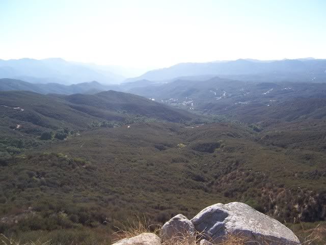
102_3767.jpg


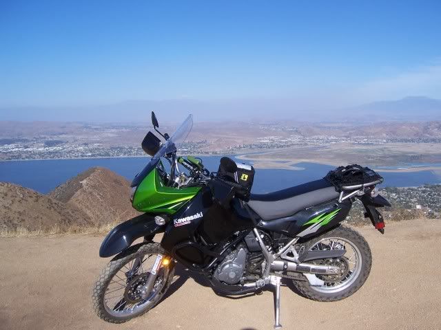
Above Lake Elsinore
102_3769.jpg


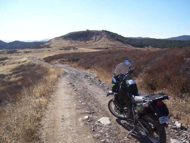
On a road less travelled!
102_3782.jpg


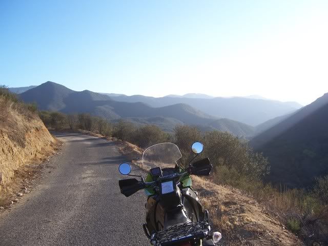
GPS makes things easy, always nice to know which road you're on!
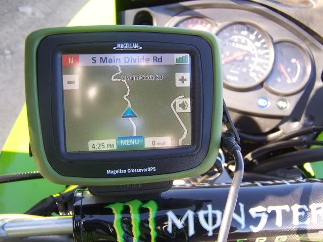
102_3787.jpg


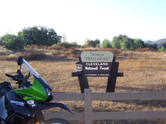
Tenaja Road
102_3792.jpg


Note that if you are a hiker, this Tenaja Trailhead is a great launch pad with several days worth of backpacking trails in this wilderness. Good camping spots among the old oaks too. Fishermans Camp, Tenaja Falls and a network of trails that will take you all the way up on top to the 74 from down here.
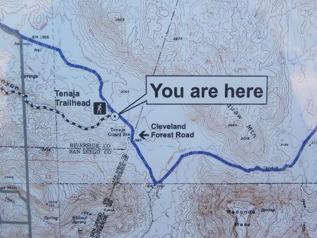
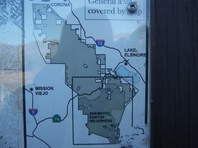
102_3793.jpg


102_3794.jpg


102_3801.jpg
 
Last edited:
I really enjoy days like that... killer scenery and no crowds or traffic in the backcountry. Hard to believe that such roads still exist so close to "civilization"---but they do. Years ago, when a good friend (now deceased) lived in Deerhorn Valley, before Deerhorn Valley got "crowded" like it is today, I used to take his new XT350 (nothing major, just a little Enduro scooter for dual-purpose riding) and make the following run first thing Sunday morning, while everybody else still slept:

Deerhorn Valley Road --> Mother Grundy Truck Trail --> Honey Springs Road --> Lyons Valley Road --> Carveacre Road --> Japatul Road --> Lyons Valley Road --> Honey Springs Road --> Deerhorn Valley Road

Sometimes I'd mix it up and ride Mother Grundy Truck Trail on the way back instead of on the way out, and I would ALWAYS pull a few laps on Carveacre Road, riding end to end repeatedly and sometimes parking the bike and climbing Lawson Peak. In those days, there was access from both ends of Carveacre Road, last time I went out there some knucklehead claimed to have bought and "legally closed" the northern end, near Japatul Road---don't know if this supposed "closure" was legal or still stands today. Good runs though, I'd be gone for a couple of hours with no traffic in sight, except perhaps churchgoers toward the end of the rides... and heller views like those in your photos, that big basin on the east side of Lawson Peak and its associated ridge is spectacular!!!

I still visit Lawson Peak occasionally, and the best time of year to do so is fast approaching, but I hike Carveacre from the east side, the gnarly grade originating near Mile Marker 13 on Lyons Valley Road... that 2-mile stretch of dirt road leading up to the saddle beneath Lawson Peak is, in my estimation, STILL the gnarliest dirt road in San Diego County, with ruts literally waist-deep showing their teeth in the form of jutting granite boulders, rocks that will tear pans off motors and transmissions like Jack the Ripper, LOL. Fun riding on a two-wheeler, and a whole lot faster than doing it in a four-wheeler... those were the days, flying up and down that grade on my friend's bike, even if it was just an XT350. Thing had enough pep to surmount any obstacle with a twist of the throttle.

Ya know, unless the road is now posted against riding, there's no reason you (Dave) can't take that bike of yours up Carveacre, but be forewarned if you've never done it: the views are SO AWESOME that you might ride clean off the dirt road (into the brush or over a small cliff) while rubbernecking, 10-4??? Don't ask me how I know this. The ride along the ridge top is cool too, just turn north on Carveacre road when ya hit the "intersection" below Lawson Peak, and ride as far as you can before turning back (I'm presuming that the dirt road "closure" is still in effect). Carveacre Road used to be a Forest Service road, and I suppose the remainder of it technically still is, but it was a sad day when they sold the northern end and closed the loop. If you go, don't forget to ride up that whaleback outcrop near the saddle and "intersection" below Lawson Peak... fine views from the top of that outcrop, though not quite as fine as the views from the summit of Lawson Peak.
 
Last edited:
Back
Top Bottom