1N09 shooter area cleanup - Sat Jan 21

suntinez

Adventurist
Founding Member
USFS has asked for assistance with cleanup of the shooting areas on 1N09 on Sat Jan 21.

USFS Rec and Fire personnel and Calguns will be there, and the OHV volunteers. We are getting a dumpster staged near the entrance. The shooting areas will be closed for the cleanup that day.

I’ll be meeting the OHV volunteers at Mill Creek Ranger station by the OHV seacrates (in back, 34.078427, -117.043992) at 8AM and heading over. We should be at the west end entrance at Hwy 330 (34.176984, -117.153823) around 9AM. I’ll be monitoring HAM 146.550

From Steve Thomsen, the USFS Rec contact who is coordinating: “It's gonna be a 2 part project. We are getting the tractor out there and rework the sites, re-sign everything, etc. There is a fuel break project in the work in the general area. Going to be a complete overhaul of the area.”

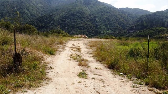
I was trying to find some attention getting pics to include, but I think I’ll just include my patrol report from Apr 2016 instead (see below). 1N09 is the longest road in the forest and has some really beautiful parts.

It would be great if some AAV folks want to participate, the more the merrier! If time permits, I’ll lead a patrol afterwards over 1N16 which is the next area we’re targeting for cleanup. These are 2 of the worst areas in the Mill Creek Outpost, long overdue for attention.

Post up if you want to join us, see you there!

Linda
 
Linda Jones said:
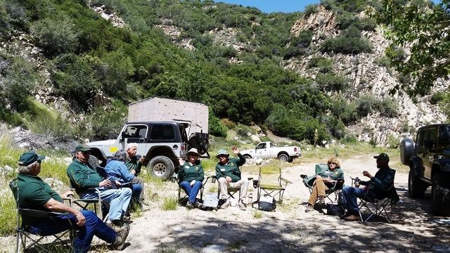
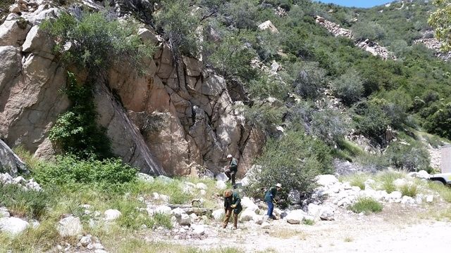
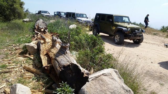
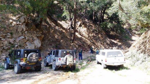
Mike Christiansen, Al Walter, Tim & Katie Skrove, Ryan & Sharon Keto,Barb & Joe Pawlowski and I met at Mill Creek ranger station, had our tailgate meeting and called in service. We headed over to recently graded Middle Control Rd and down to 1N09. We spent all day on 1N09.


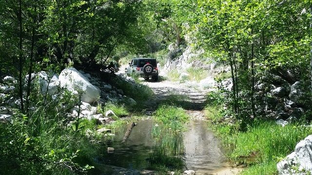
The east end of 1N09 was in good shape, just a few muddy spots and nothing bad. Culverts were clear and functioning.


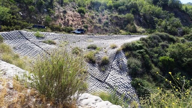
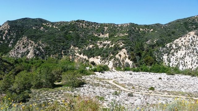
Coming down to Bear Creek we passed the huge concrete quilt and got some nice views over the valley.

1_zpskzuwuewi.jpg


1a_zpsxoybmebp.jpg


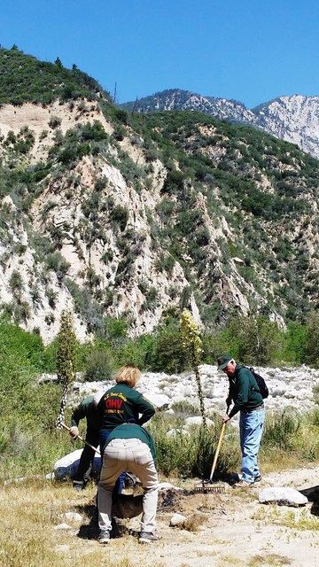
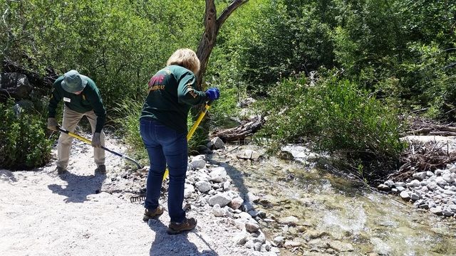
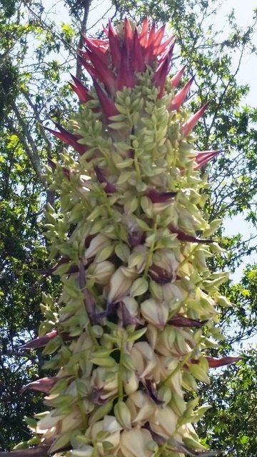
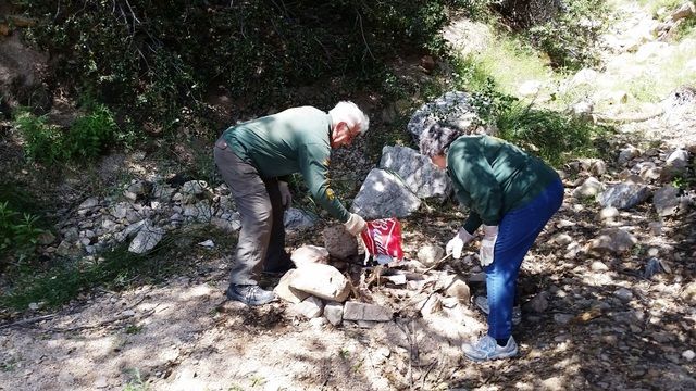
There were fire rings in all the usual spots, and a few new ones too. We broke up 12 rings and picked up lots of trash. We saw lots of wildflowers blooming all over the mountain.


1c_zpsl2swzvbm.jpg


1d_zpssrhiqn2b.jpg


1b_zpsjyolnuhc.jpg


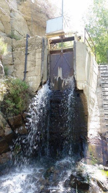
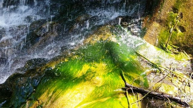
We had lunch at the SCE Intake facility by the gorgeous sycamore tree and found 2 fire rings down there, I let the SCE manager know about that. There was more water than I’ve ever seen here, everything was lush and green. The reservoir gate was spewing like a waterfall.

2_zpshycn9stu.jpg


2a_zps2pvsxvgz.jpg


2b_zpstclfwvge.jpg


2c_zpsbeipkvul.jpg


2d_zps7drvmbwa.jpg


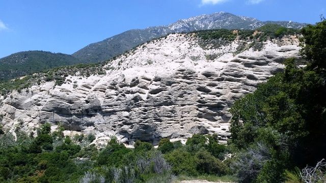
1N09 was graded for a few miles past Bear Creek, in really good shape. Near 1N13 it gets rocky. Keller Cliffs and Keller Peak:

3_zpsxn0cqzlo.jpg


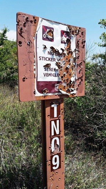
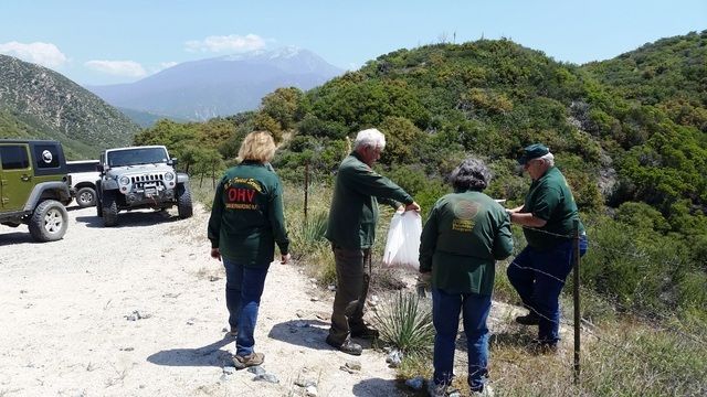
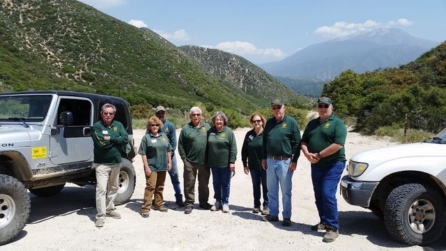
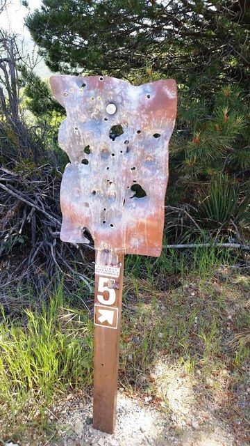
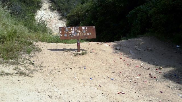
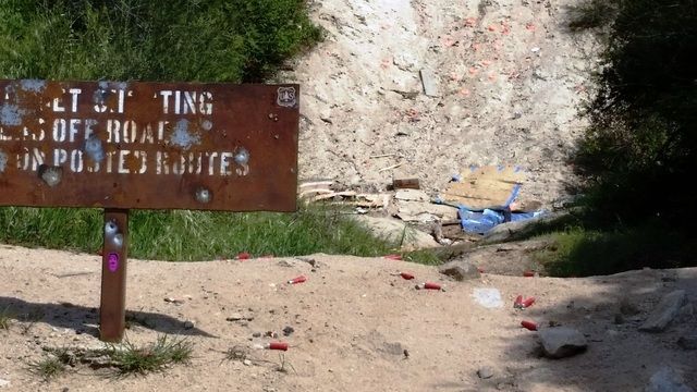
We stopped at 1N16 intersection, picked up shooter trash and took a group pic. We knew it would be bad from here, and it was. Every single sign was shot up from this point west to 330.

4a_zpsdqlg1fli.jpg


4_zpsyyvmryog.jpg


4b_zps0h1fjol4.jpg


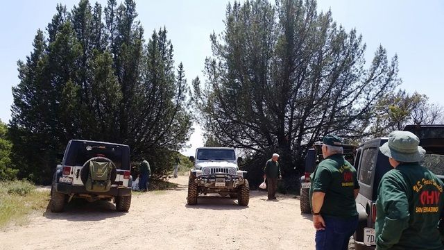
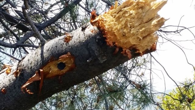
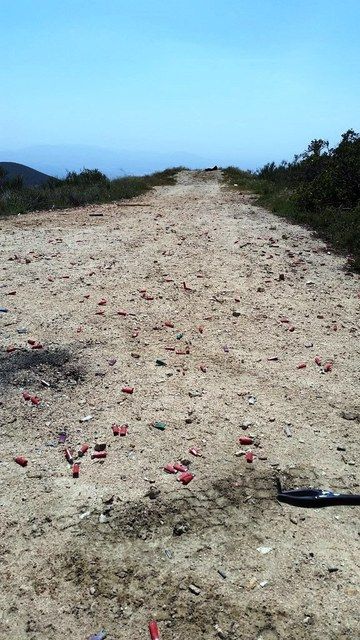
These beautiful trees stand at the entrance to #5 shooting spot, but someone decided they were targets and shot some branches off. Poor beautiful tree, so mad :evil: Beyond that were literally thousands of shells and shot up targets, we picked up some. This is a large cleanup project.

6-trees_zpshpayzk35.jpg


6a_zpszzrmvkf7.jpg


6b_zps8ez7eyna.jpg


6c_zpsnbgouhj5.jpg


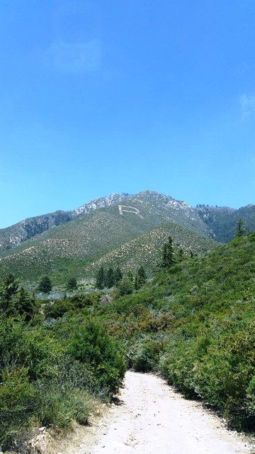
We passed the big “R” and came to #4 – it was also a mess, picked up a few targets. Pic doesn’t show the debris field, just the extent of it. Another downed tree all shot up.

7_zpsfzfovuld.jpg


8_zpsjfbf8jv0.jpg


8a_zpsl0gbldbu.jpg


We broke up another fire ring on the side of the road.

5_zpsmydyjvci.jpg


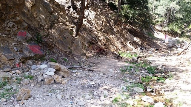
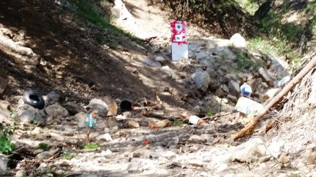
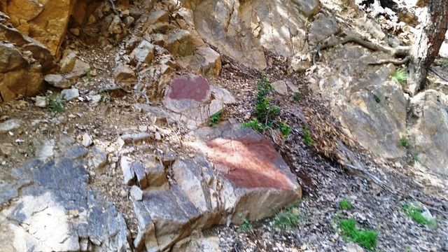
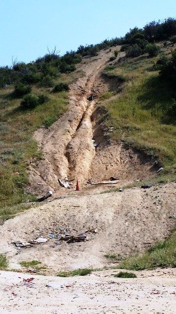
One of drainages of Plunge Creek got turned into an illegal shooting range, this one was bad. We painted over the graffiti and cleaned it all up.

8b_zpsa8xs1p3m.jpg


8c_zpswmepj1fs.jpg


8d_zpsdz7mi4us.jpg


8e_zpsmoxfhrcq.jpg


8f_zpsfq7jn4za.jpg


#2 – a mess, targets all over both sides of the road and way down the cliff below.


#1 – trashed, this one is always bad, no exception today

9_zpsmik0alrb.jpg


Not an actual shooting area. More shooter trash.

9a_zpsq0sdu4sg.jpg


9b_zpsobs1t3tj.jpg


The fence has been cut and tracks burned in to another illegal shooting area.

9c_zpsky7qx1ko.jpg


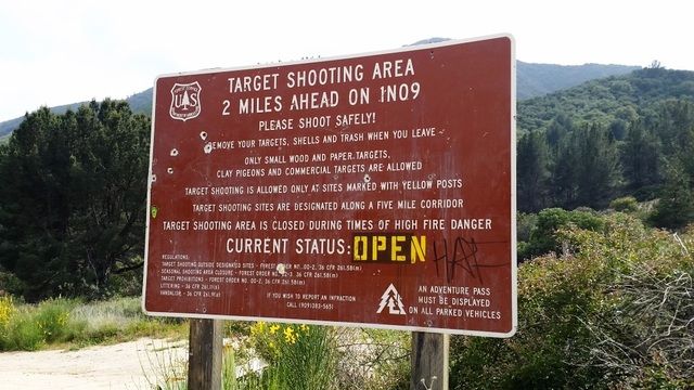
The sign at the west end near 330 has been replaced since last year.

9d_zpsoghd086x.jpg


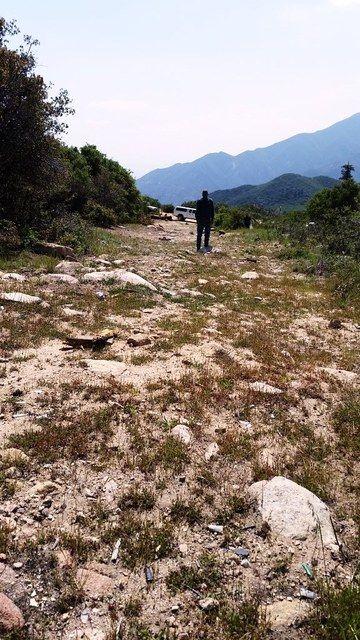
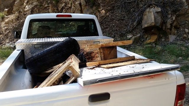
We headed back with all the rigs loaded full, emptied 200+ lbs of trash. What a hard-working group, thanks to everyone who came out!


A quick change of clothes and everyone headed out to dinner in Yucaipa. We had a great day and got a lot done, but so much more needs to be done for these shooting areas. Signs are needed, and cleanup. Suggestions welcome.
 
Thanks for posting this Linda, it is a great opportunity for AAV to help while we wait for access to our adopt a trail. I will be adding this to my calendar, hopefully I can fit it into my work schedule

Sent via carrier pigeon
 
Inger and I would definitely be there but we'll be camping our way back from Grass Valley that day, trying to make it back in time for the two Reign games that weekend!
 
I'm tentative. Need to fix the Bronco still.

Sent from my SM-G930V using Tapatalk
 
Usfs has postoned this due to multiple storms coming in, sorry! Kinda hard to pickup casings when they're buried in mud or snow :)

I'll update when we get it rescheduled.
 
I just went here by myself on Thursday and found a nice little spot to shoot. It was awesome. I wouldn't mind helping out. I have a 4x4 F150 if you guys need a truck.
 
Back
Top Bottom