Yes and Yes.
This June we spent 3 weeks hitting Tetons, Yellowstone, Glacier, Arches and Mesa Verde driving over 5300 miles with my family (and another family). My kids are 6 and 4, so you may have a little more wiggle room on potty breaks than we did (we had a lot of roadside reliefs).
Our travel days were a mix of connect the dots and trying to get the miles behind us. We drove from central Texas and the drive to the Tetons took 4 days. We could have probably of done it in 2, but we wanted to actually like our trip instead of hating life. To "cheat" we hit hotels to get the kids in the pool for a couple of hours before bed time and we tried our best to keep the travel days to a maximum of 8 hours (didn't always work). Pro-tip: Embassy Suites is our hotel of choice because it is one of the few with an actual shut-the-door suite and pull out sofa. They have a free happy hour (well drinks) every evening, a cook to order breakfast and indoor pools all for just a smidge more than a Holiday Inn Express. With a pop-up you may look to locations like KOA for a couple of nights to save money, be outdoors and to have access to a pool to get your kids exercised. We ground tent and took the lazy way out for most our road days. We also used in-park cabins as transitional spots because of late arrival times for getting campsites or setting camp (for all the reserved sites we had). That all made for a happier trip made easier with the kids. We still spent a significant amount of time in camp, thankfully or the trip wouldn't have been as fun.
On the route up we ended up on the interstate a little too much, but our 5 day drive back to Texas was 95% on two lane highways through small towns and no towns. We had the chance to experience a lot of America by getting off the I-whatever. Of course the overlanding dream is to be on dirt roads the whole trek, but when trying to fit neat places that are far away in a short time that choice is often not possible.
We have discovered we do not really enjoy campgrounds that much. We did a family camping weekend at a (really nice) with our church and while the kids loved running around with the other kids, we were not fans of being woken up by people at 6 in the morning, etc. Our goal is to try to find out of the way places to camp, but we do not know if the New England states are like PA, which does not really have public land you can just crash on. Everything is gated off and it's really frustrating. Anyways, creeks are plentiful to play in and I'm not opposed to pulling off to the side of the road and letting the kids go play in a stream under a bridge for a couple of hours while we make lunch or whatever.
Our children are accustomed to traveling for long periods of time (we've flown to Alaska which takes FOREVER and have also driven down to North and South Carolina). While it is our goal to NOT be driving for long periods of time, getting out of PA and past the eastern park of New York is going to take quite a few hours. We'll explore more once we get past New York.
Connecting the dots is basically it. I'll sometimes use Google maps to show the fastest route, usually interstates. Then I'll click and drag the route line onto a smaller highway or back road to instantly see the change in estimated time. It gives me a better sense for timing if we're on a time and distance crunch. But, our best vacations don't have such a set schedule.
We prefer to loosely define a path of travel or sites to see and head that way letting the road, the weather, and the road signs define our days. To me it makes for a much less stressful way of traveling. Let the journey be the destination and it won't matter where you go and when you get there. If you try to plan out a day-by-day 16+ day journey, you'll be stressed to keep on schedule to see everything and I guarantee your family will feel that stress. Unless the parks you're going to are so full they require reservations, just play it by ear and be flexible. Follow that interesting looking sign to the little county park and you'll be pleasantly surprised.
When we went to Yellowstone we estimated our date of arrival and booked months in advance because we had to, to stay in the park. We ended up having to rush to get there, then had too much time reserved and had to make decisions on abandoning a campsite that was paid in advance to see more of another park. But the rest of the trip we were able to adjust our schedule to meet our interest as we got to each location.
While I AM a planner, I don't plan on having the entire 16+ days planned out minute to minute. I will have my Google map available with points of interest as well as a binder that will have information on those places in it (details like how long it should take us to explore those places, cost of admission, etc.) and we'll decide as a family which places to visit. Other than Acadia, I do not think any of the other POI will need any kind of reservation....unless we decide to take the ferry up to Newfoundland, which would be awesome!).
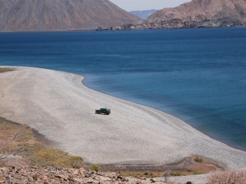
My all time favorite trips are unplanned. We leave the house knowing what day we have to be back, and go from there. We've managed to pull this scenario off a couple of times. Headed south to Baja on two of those trips, literally flipped a coin on several occasions to determine which way to go at an intersection. I guess that's a taste of what full timing it would be like for us, if we ever achieve that dream.
That's how things like this happen for us!
We do random driving like that here in the state on a day that we have nothing planned. PA has sooooo many roads....more paved roads than New York and the New England states combined (seriously). And while I would love to have a 16+ day trip with no planned out destination, that is not something we'll do for a couple of years. My oldest is in the 4th grade this year and my youngest will be in 4th grade next year. We plan on taking advantage of the National Park Service's "Every Kid in a Park" program that gives 4th graders and their family free access to most of the properties that fall under the care of the NPS. That means when we go to the Flight 93 Memorial in November or Acadia NP or Yellowstone, we won't have to pay the admission fee....we might even be able to figure out a way to get free camping in Yellowstone. We just discovered the Junior Ranger program for the NPS and my kids are crazy into collecting the badges and patches.
Living in So Cal. there are thousands of miles of desert literally 35 minutes away.
The trip planning generally is about as detailed as. Hwy 15 north and get off somewhere and head east. Where I get off and which roads and trails are all up to whim and fancy.
The exception would be knowing I'm going to the Rice airfield or someplace like that.
Not quite that easy here in PA. Lots of trails and otherwise nice out of the way places to camp are gated off by the DCR. You can hike those trails, but driving them is out of the question. We don't know if the New England states are like that or if it's just PA. ...and unlike desert, you can't just randomly drive through a forest. There's just too many trees.
One of a myriad of reasons why I avoid pay campsites etc. Anything involving Reserve America, Xanterra etc somehow sticks in my craw. 13 months in advance for Phantom Ranch? The NP system has fallen to catering to the pay to play crowd and foreigners. I'd rather go chill out on BLM land or a random logging road.
Around here, there is no BLM land. In fact, we LOVE to take drives into the state forest lands, but are always disappointed when we want to take an off the paved road trail only to find it gated off by the DCR. We do not know if the New England states are like that as well, so we have to do some form of planning because of that.
As the kids are getting older we are starting to branch out, but the past couple of years having some facilities has been quite helpful. Especially with kids who were going through potty training. I agree it is horribly annoying at times, but there are trade offs. Also it is nice to be able to wake up and be on Lake McDonald or in The Basin, etc.
Now in the first grade my son is starting Cub Scouts so I have a feeling as we start more back country camping as a family we'll be going to opposite direction with the Pack.
Side note the national forest closest to me (Sam Houston) has dispersed camping and exploring it recently I seriously wondered how many of the group's were cooking meth. (Really)
We always carry a small potty just in case we are in the middle of nowhere and someone needs to pee. The boy isn't a problem (obviously), but the girl-child isn't. I'll have to see if anywhere on my to-visit list has dispersed camping....tho, we'd rather not have to camp at a campground if we don't have to. ....and I'd rather not be the starring role in a horror film.
Google maps is definitely high on my generalized planning phase. Next, I personally love to pick up detailed maps of the specific areas I'll be visiting with layouts of campsites (primitive and paid) that also have hiking trails and 4x4 trails marked. Also having BLM, NP, NF, and private land boundaries marked is a huge benefit as far as camping goes. That way if there's something that comes up as far as POI or required alternate route, I can quickly find my way. I find the national geographic maps are pretty good, along with the Delorme atlas.
Having a major point marked and then roughly making your way there is the fun of it. Make unscheduled stops, try different routes, have backup campsites, whether paid or primitive. If there's highway travel, so be it. Maybe even mix it up with some side streets and random trails if there's a chance of running into something cool. Just be smart about the choices you make: Rig capabilities, onboard supplies, fuel stops, vicinity of major towns/cities, weather conditions, etc.
Just know where you are at all times and you'll be fine. Pick up those paper maps. Never rely on digital media!
Taking a non-direct route to a POI is what I want to do. Thanks for the tips on the different maps. I have already contacted the websites for all of the states that we are going to be going through and have requested travel/tour guides so that I can pin some other POI that catch my eye. I'm still receiving large envelopes from those states, but was pleasantly surprised by one of them that included a really nice map. I will have to look at national geographic maps and the Delorme atlas. Is that atlas much different from the Rand McNally state atlases???