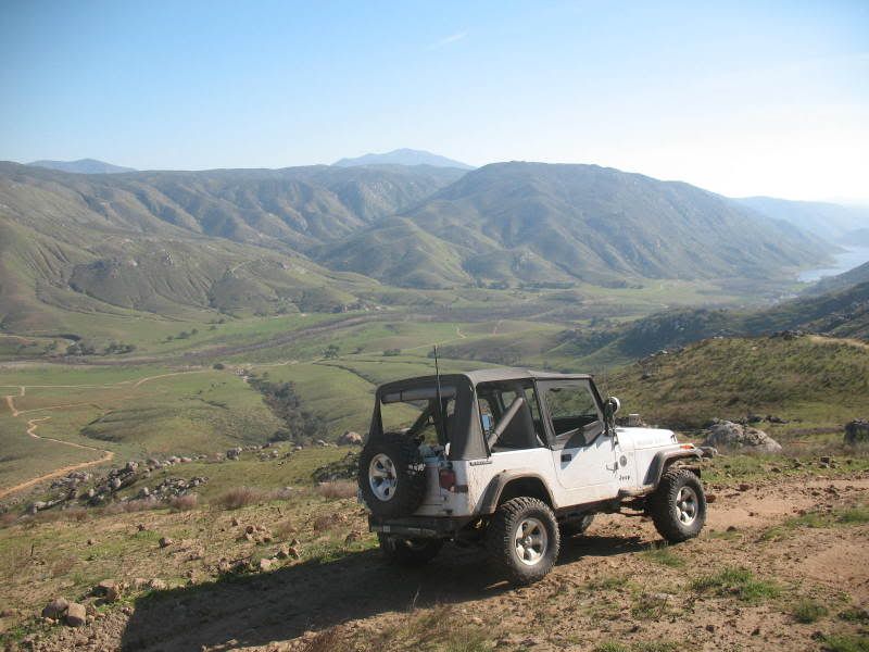
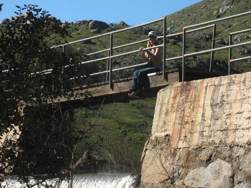
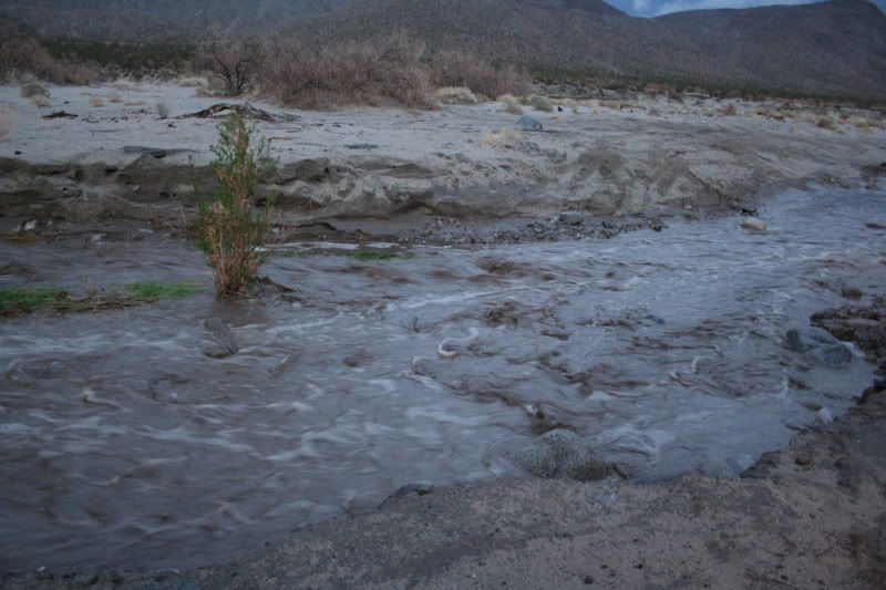
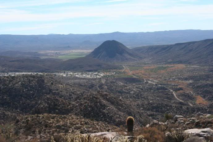
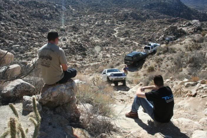
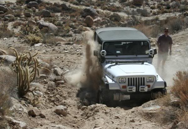
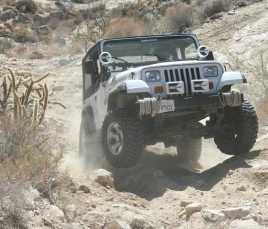
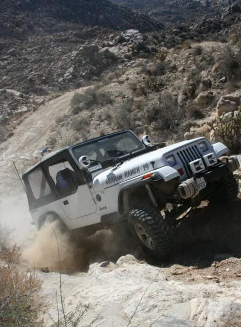
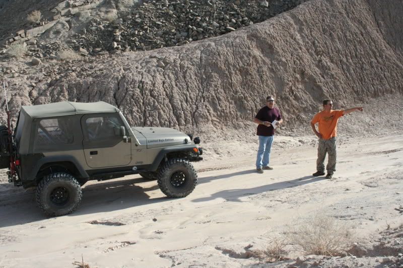
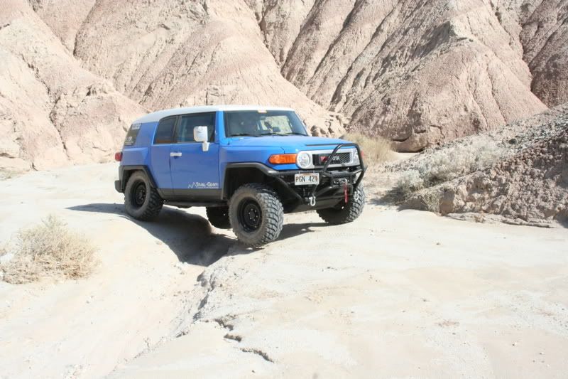
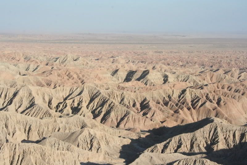
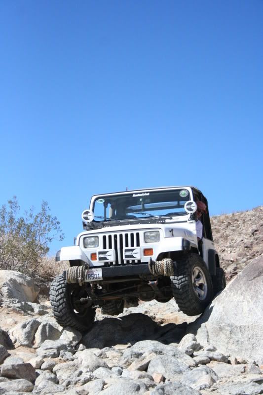
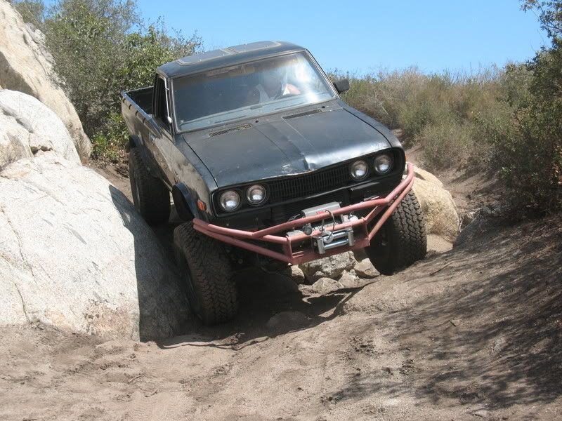
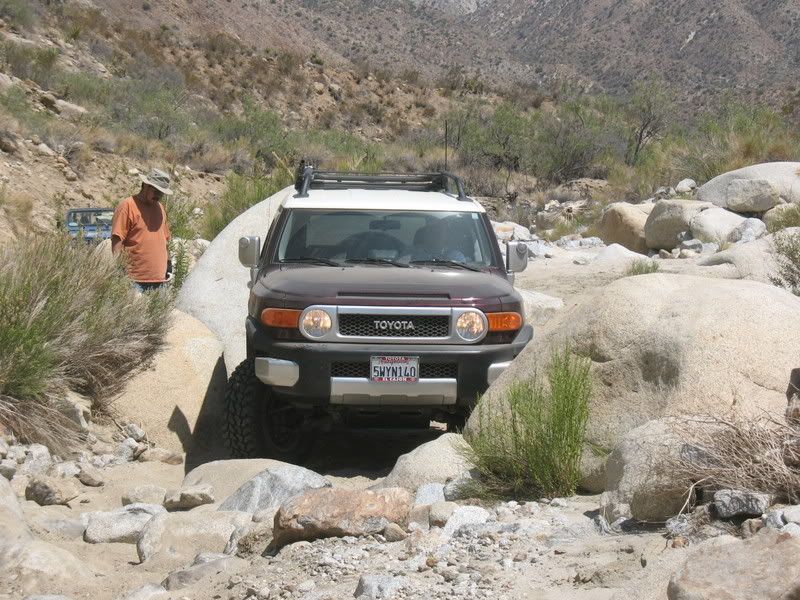
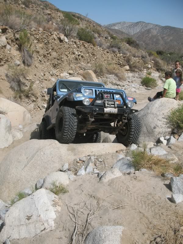
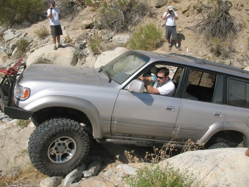
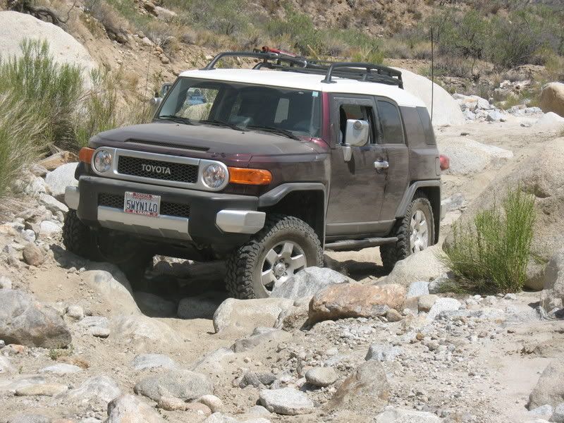
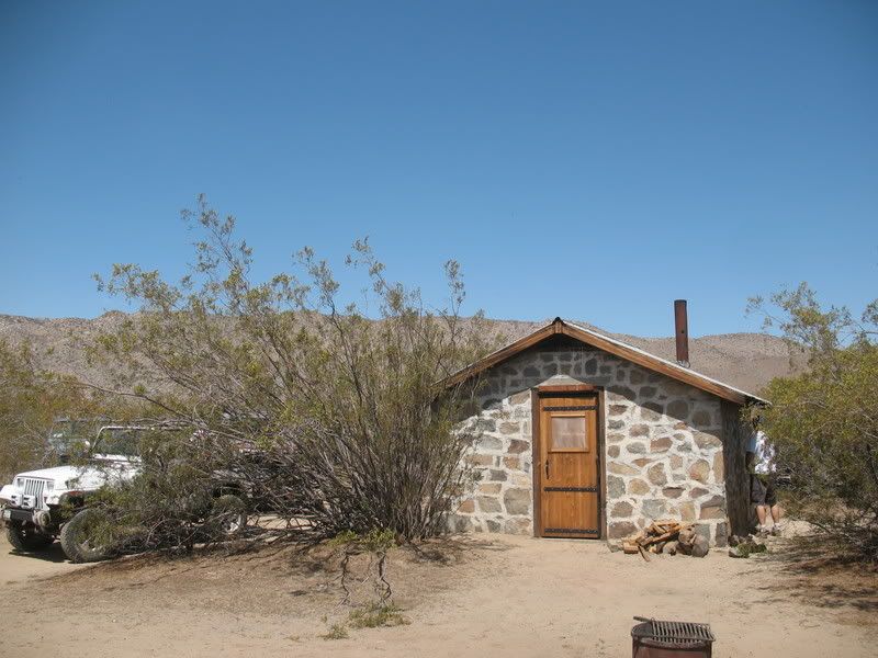
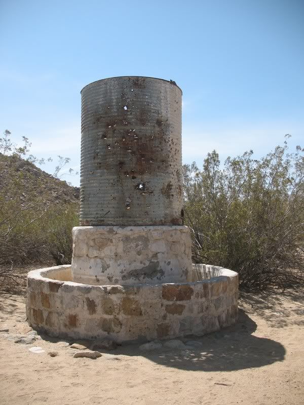
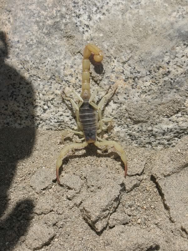
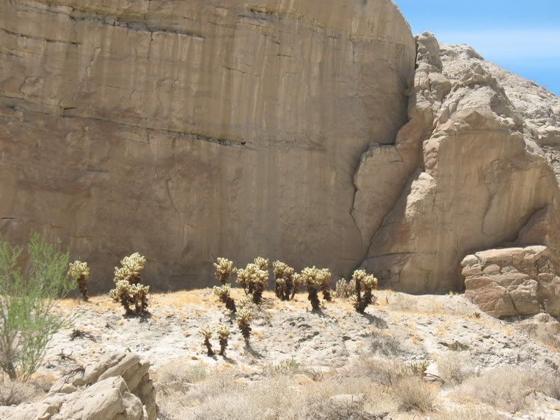
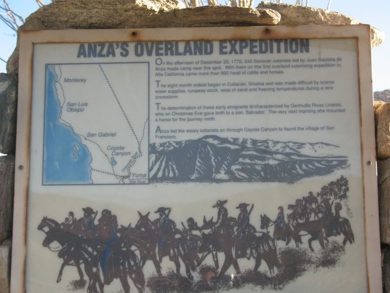
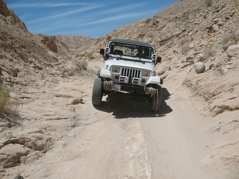
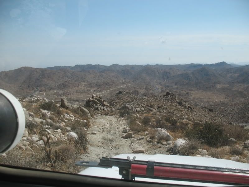
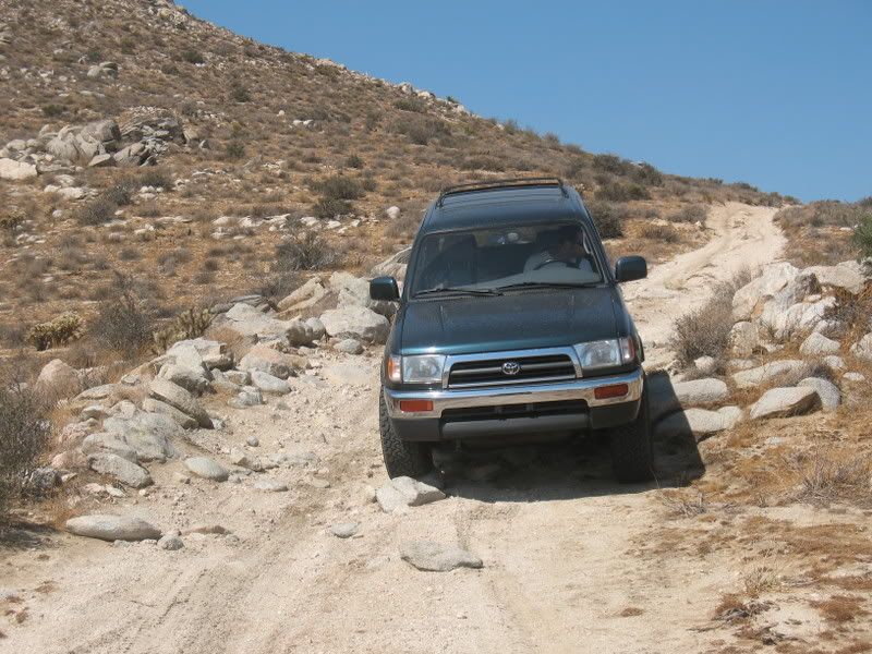
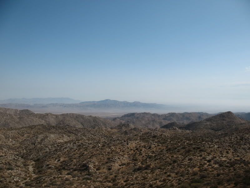
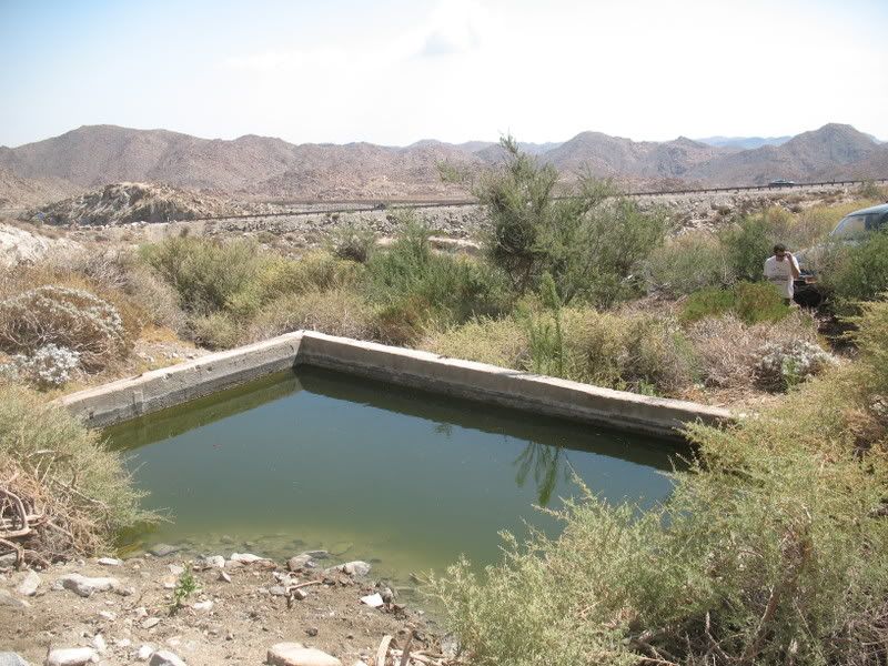
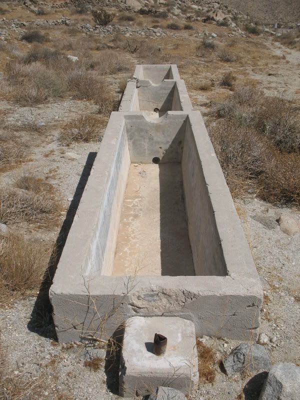
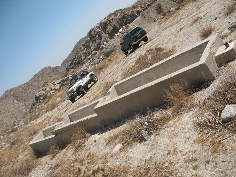
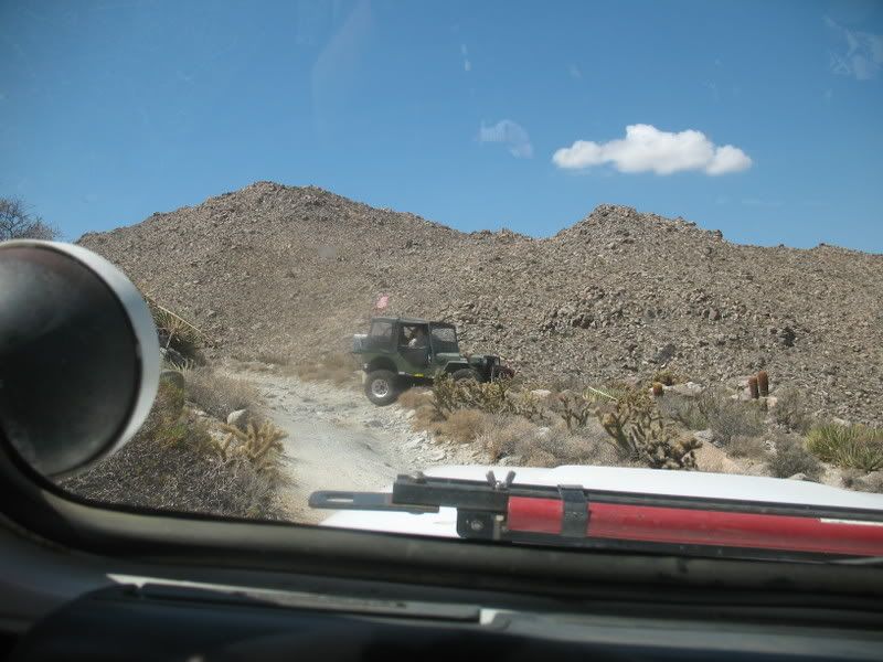
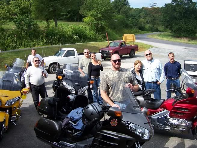
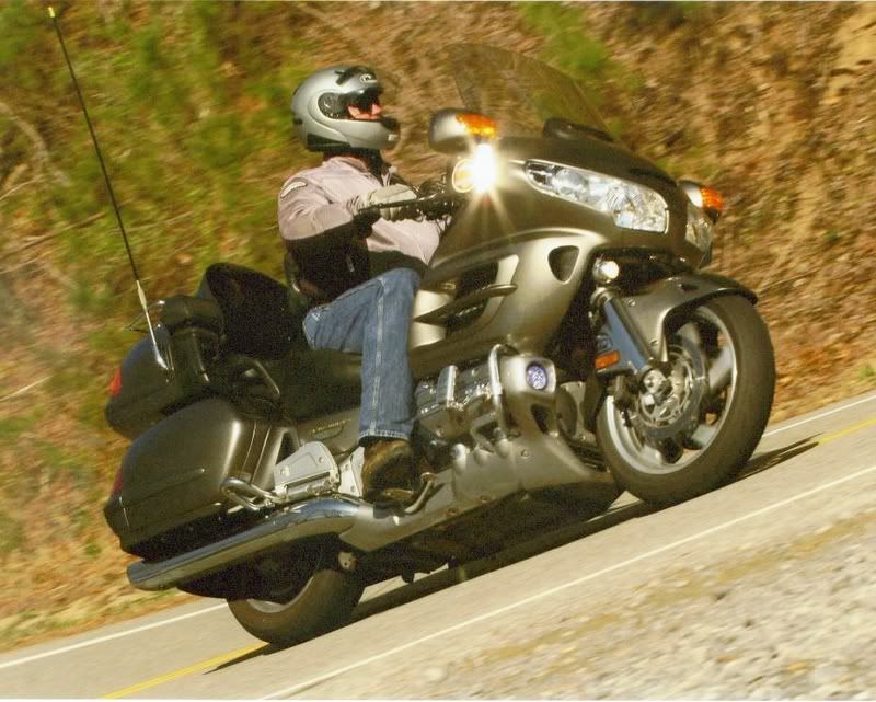
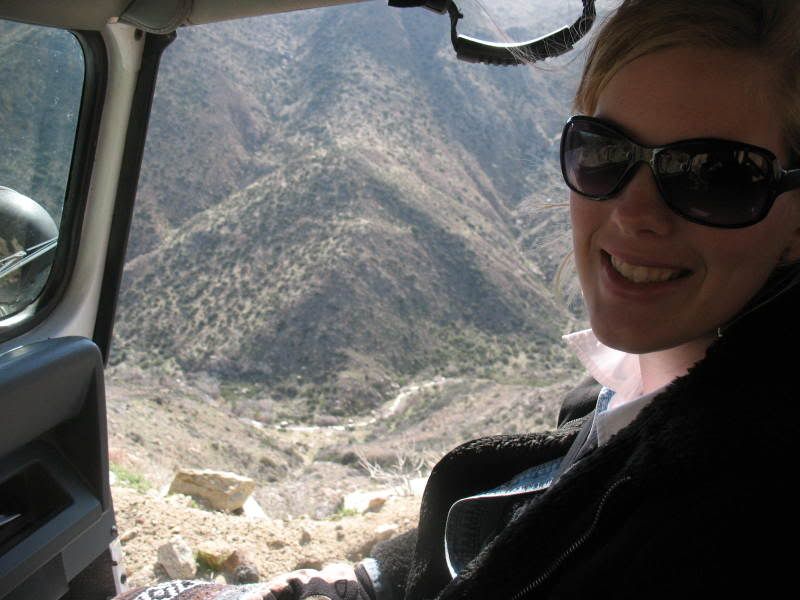
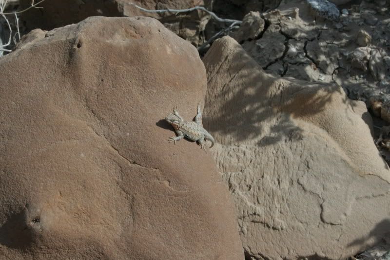
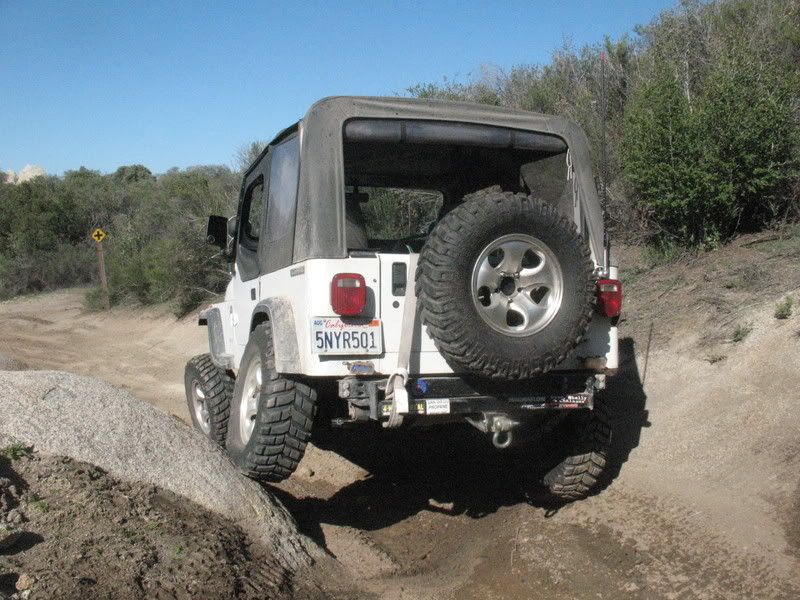
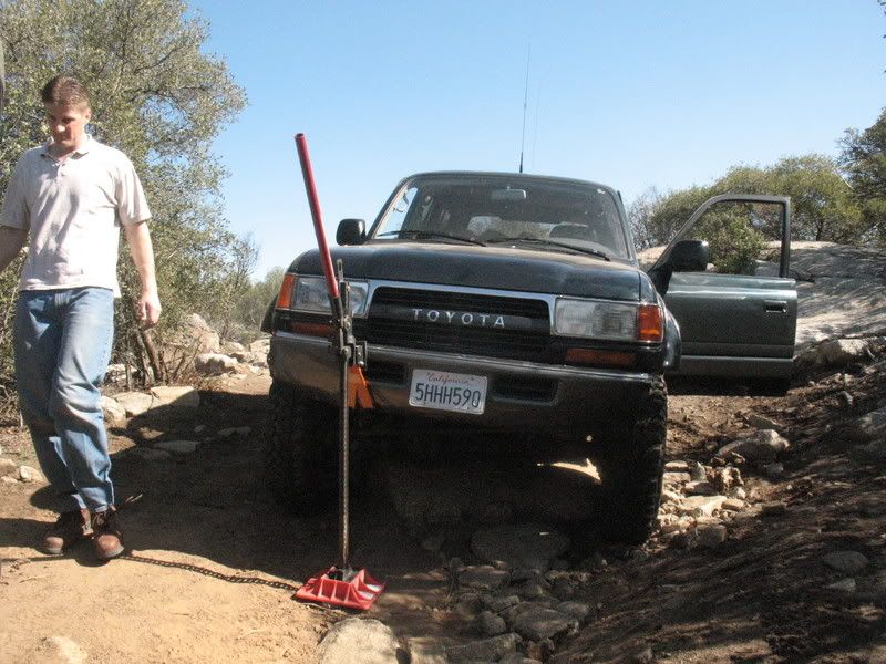
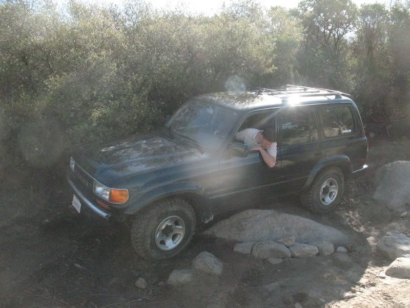
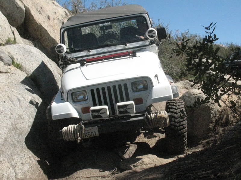
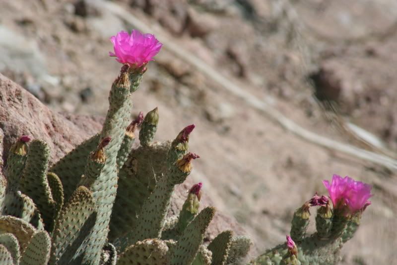
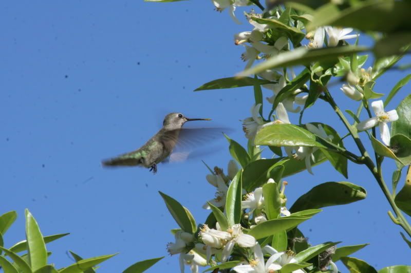
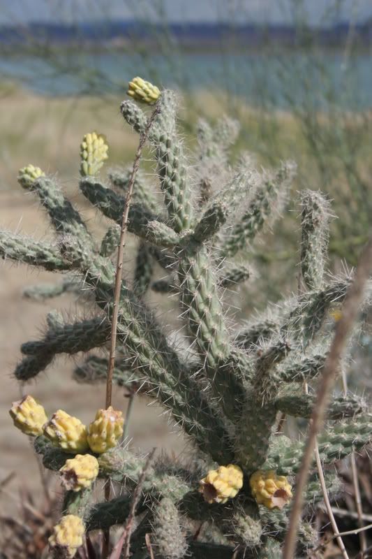
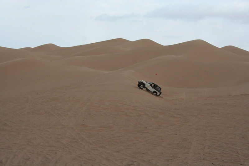
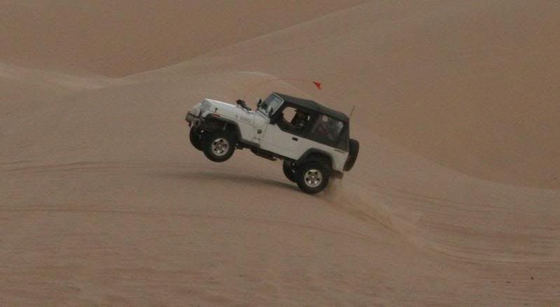
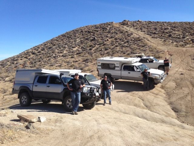
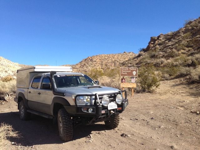
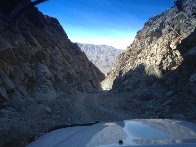
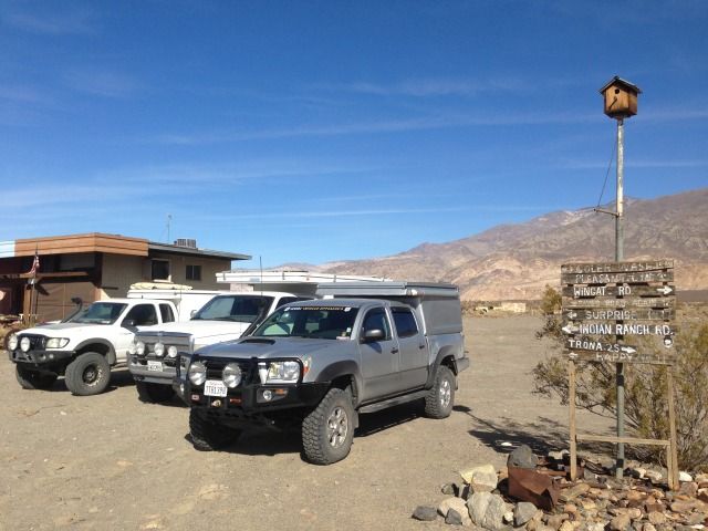
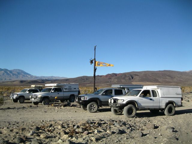
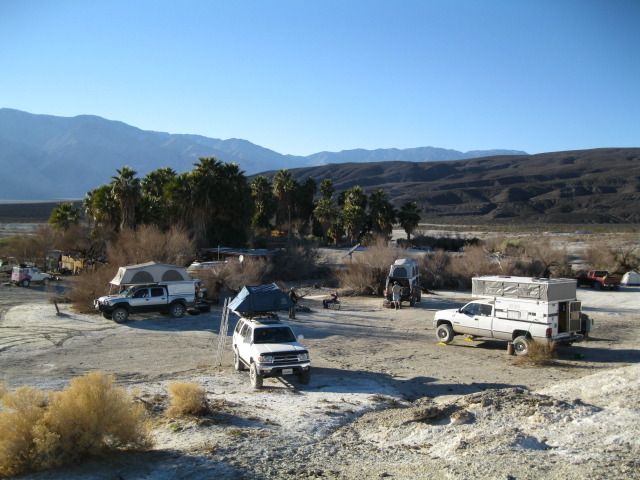
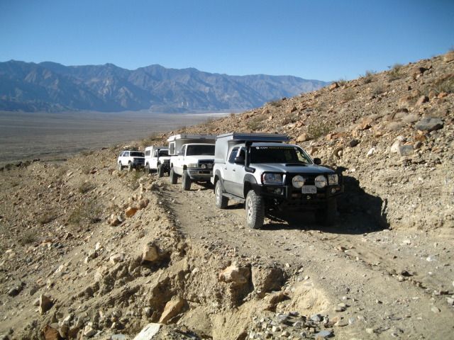
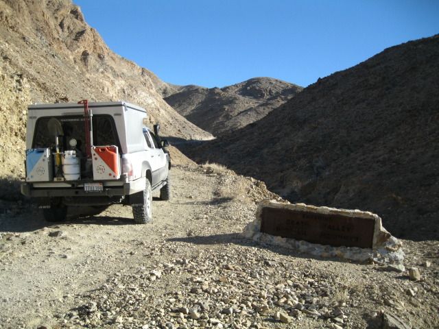
Show us where you've been...
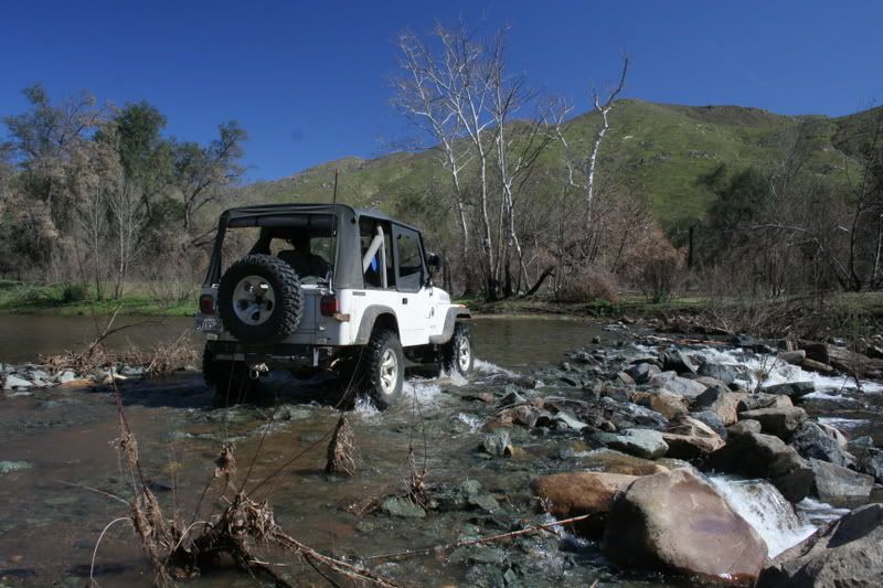
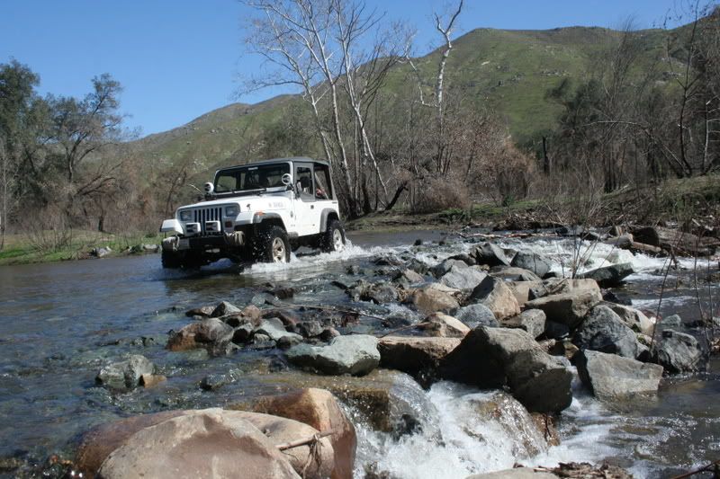
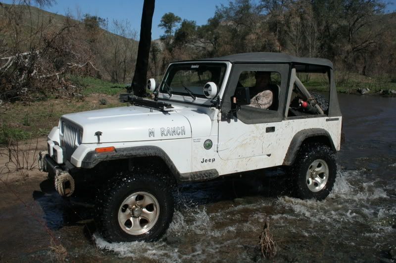
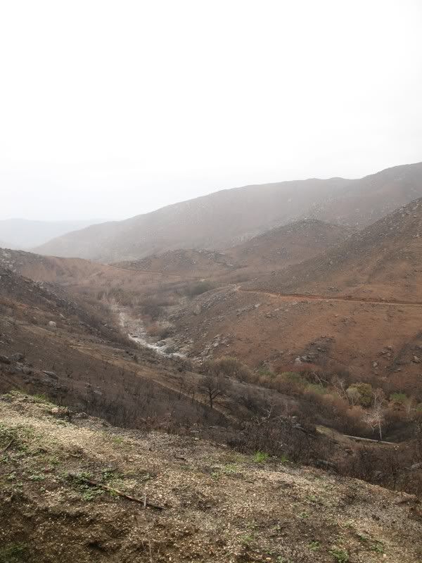
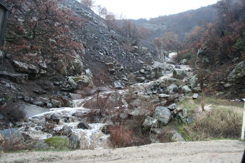
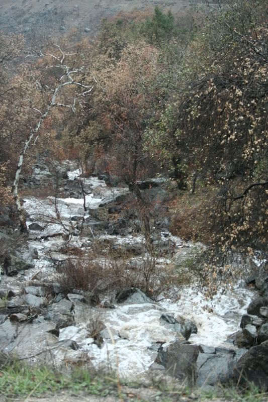
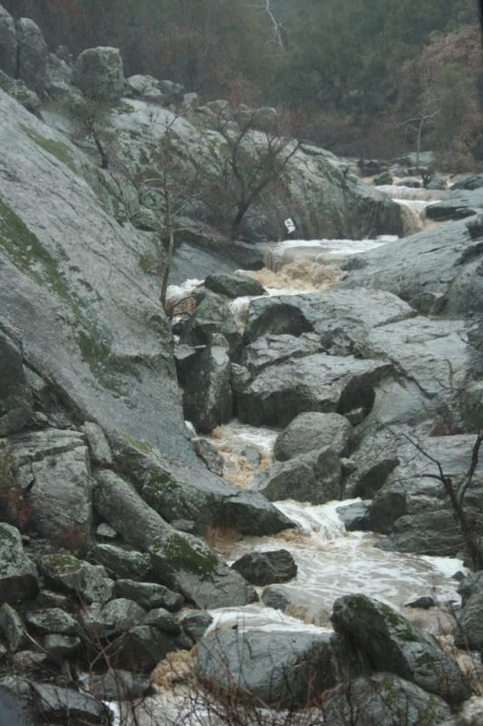
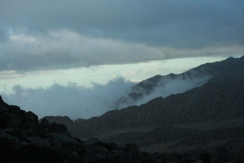
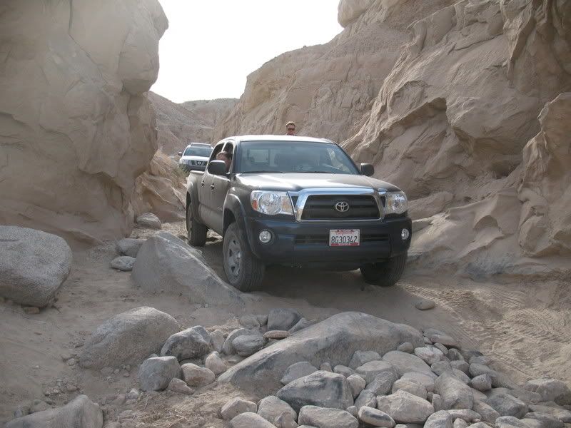
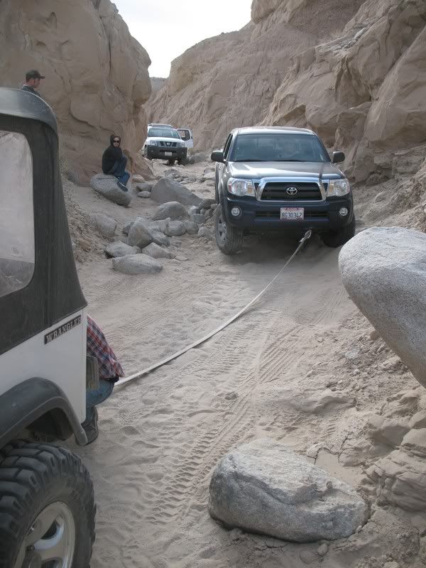
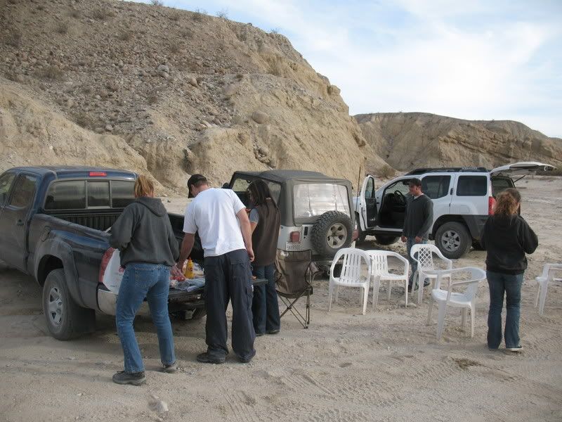
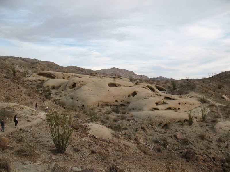
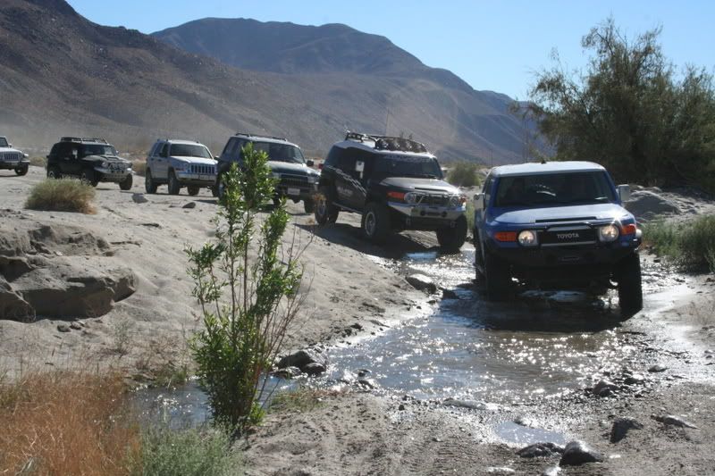
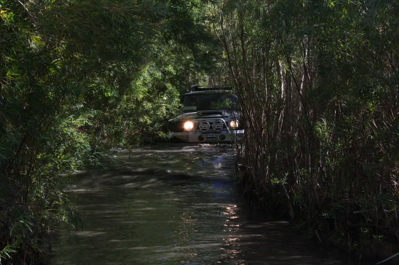
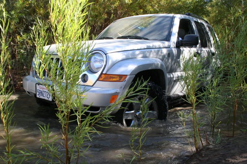
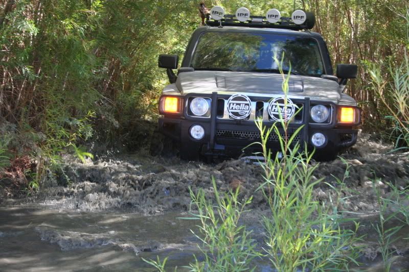
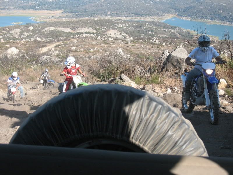
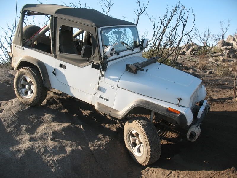
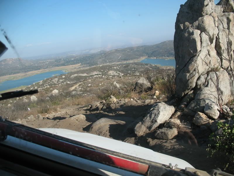
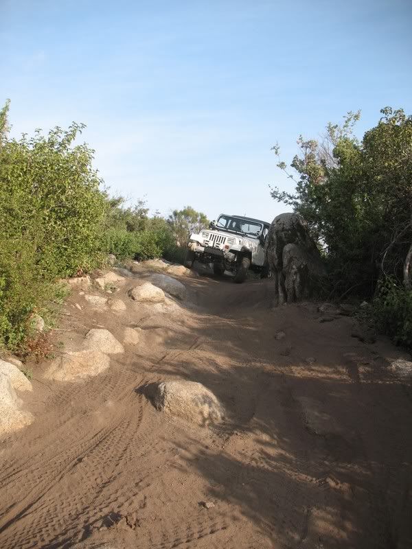
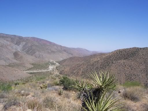
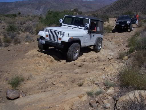
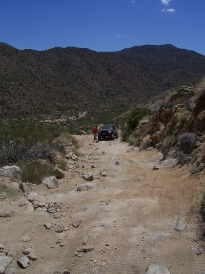
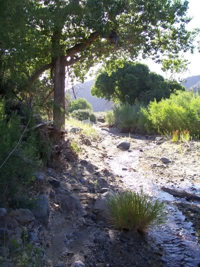
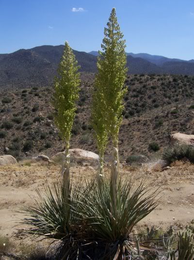
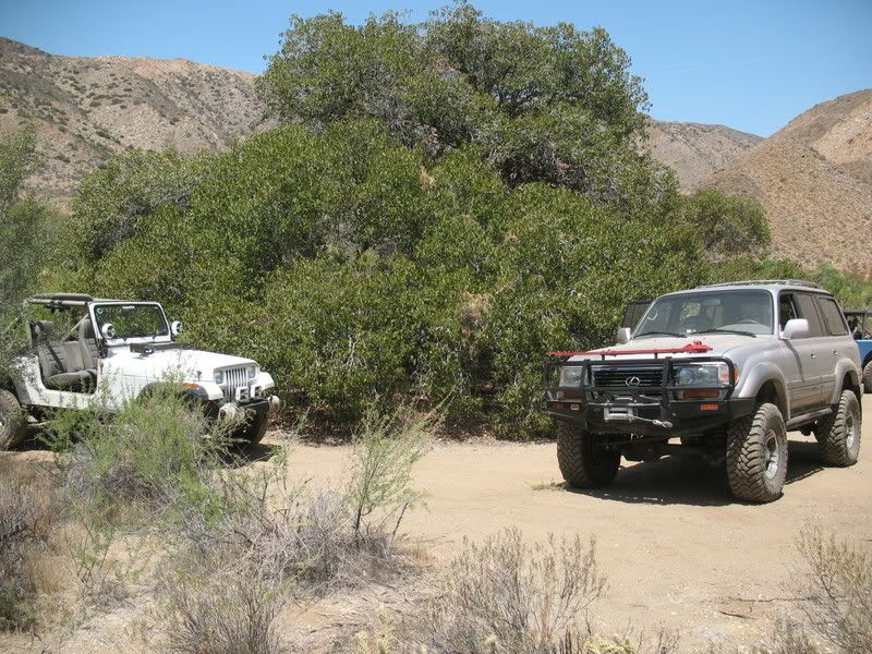
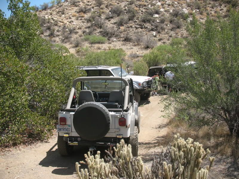
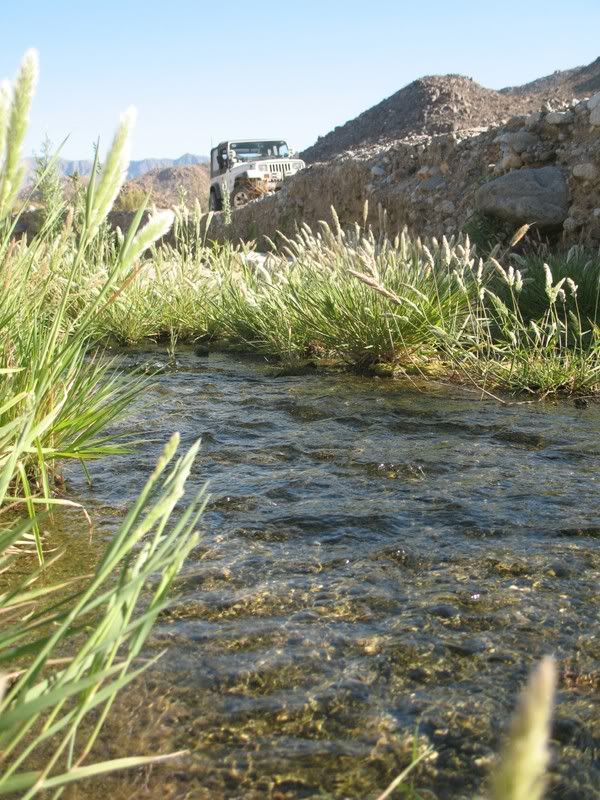
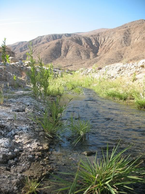
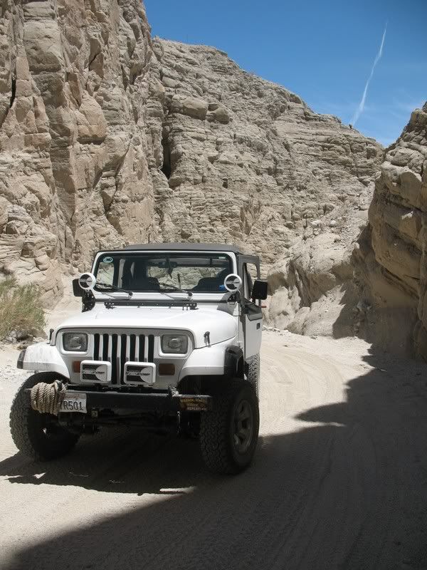
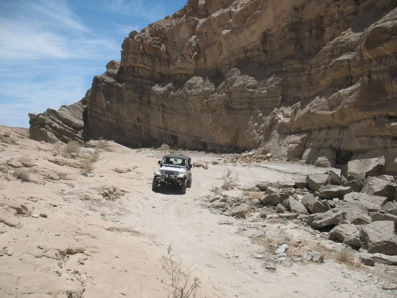
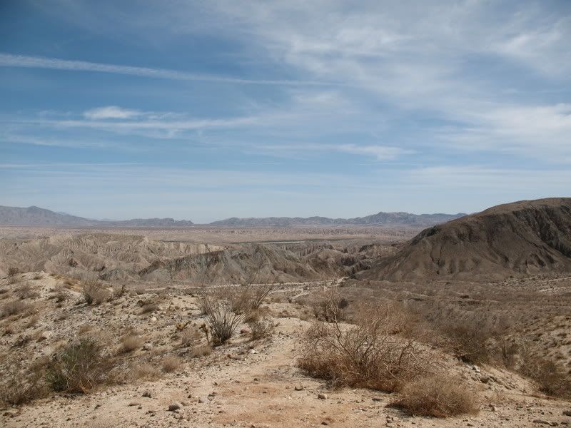
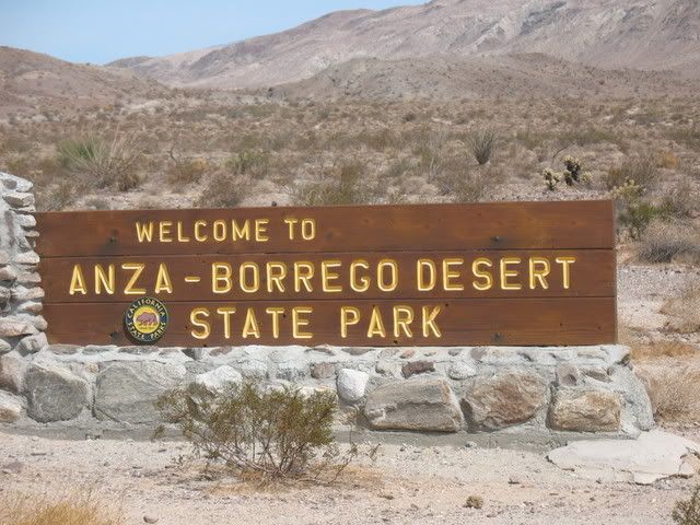
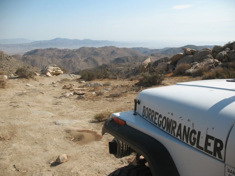
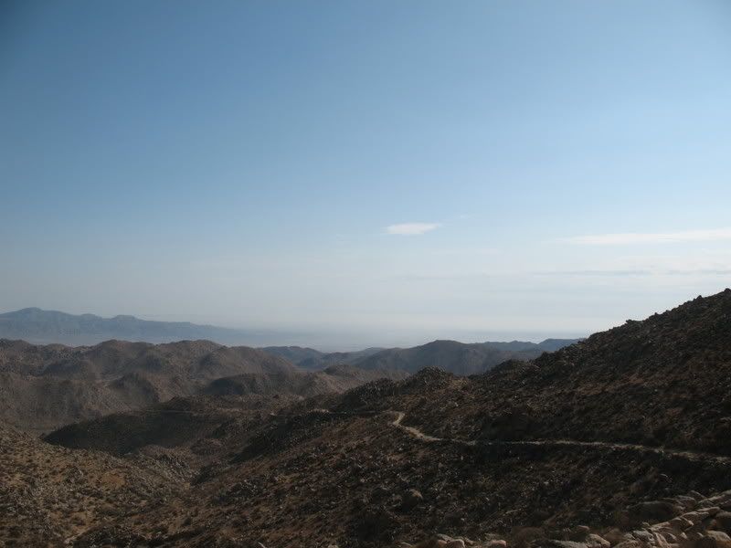
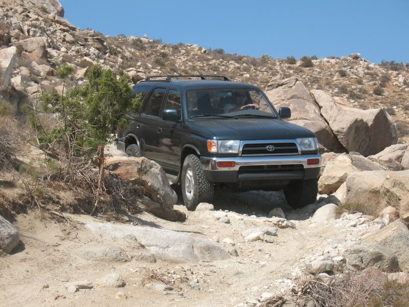
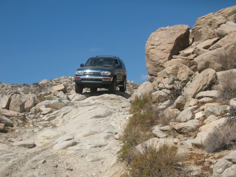
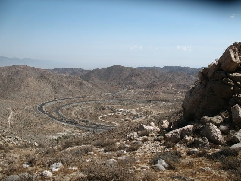
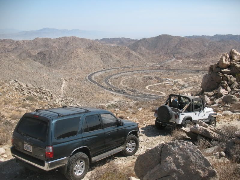
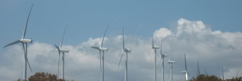
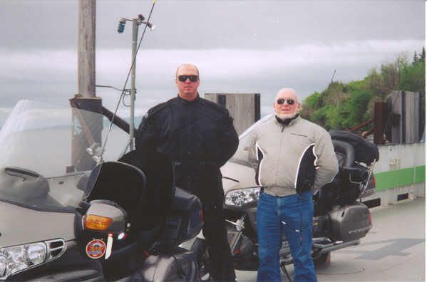
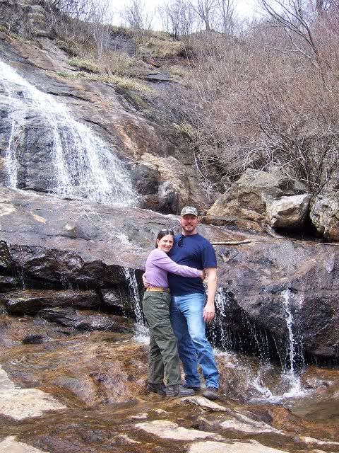
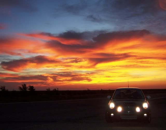
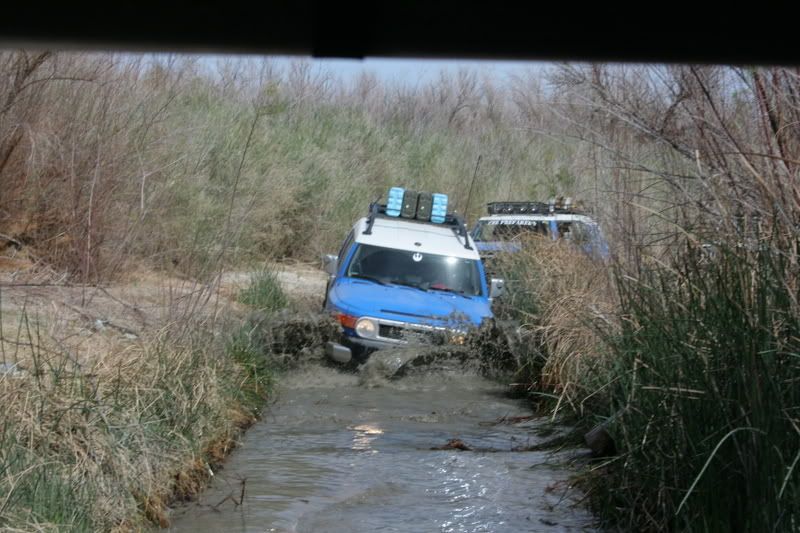
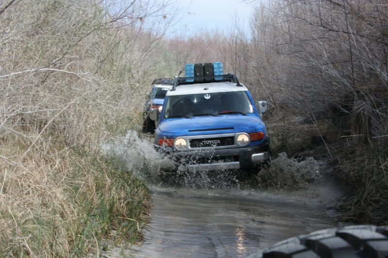
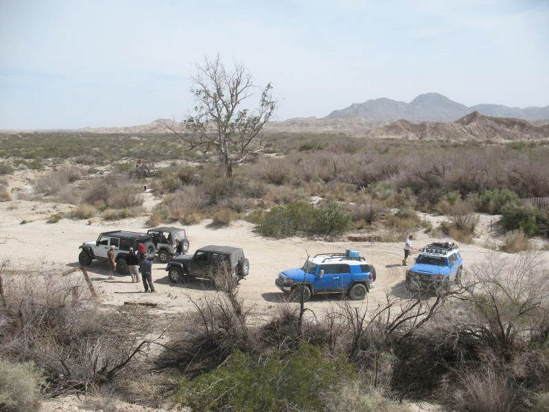
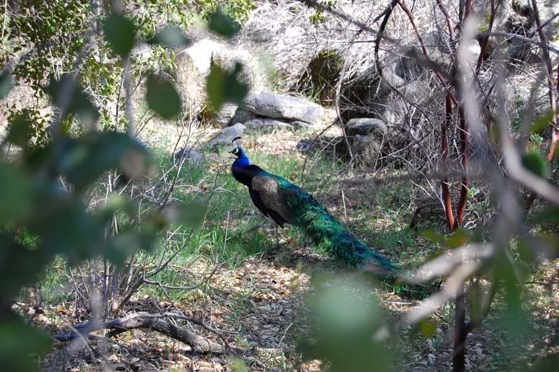
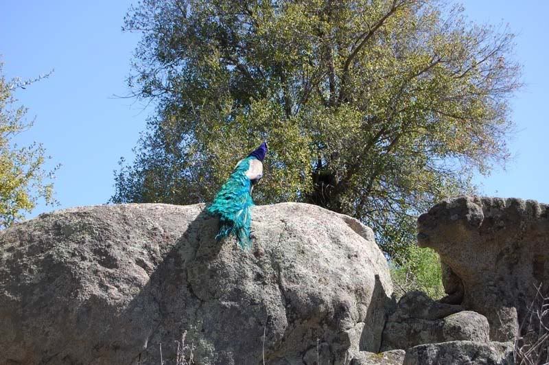
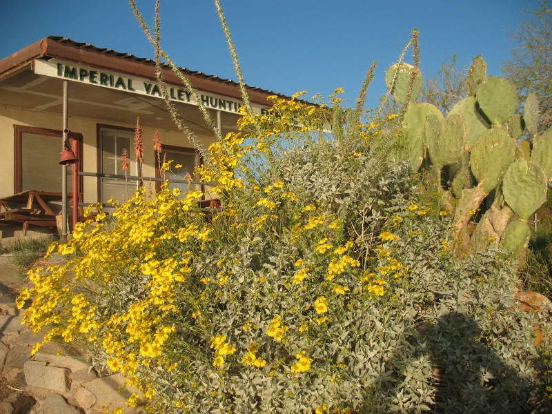
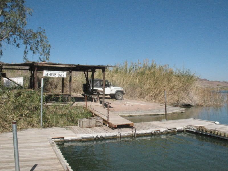
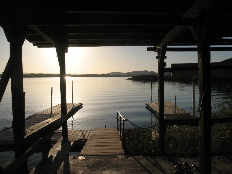
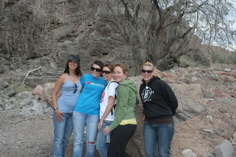
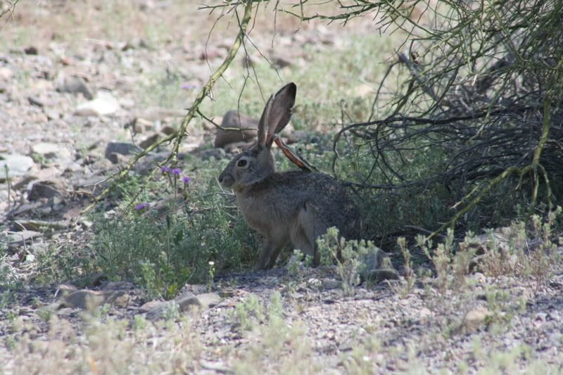
...and a little more about yourself by sharing your journeys through the scenery and secluded byways of your particular neck of the woods! From Maine to Cali, Florida to Washington and all parts in between in these here United States there are splendid places to explore, camp and tramp around. Hell there’s some damn fine places outside these borders that I yet to see and would like to learn about also. I’m sure most of you have a tale to tell so let’s hear it
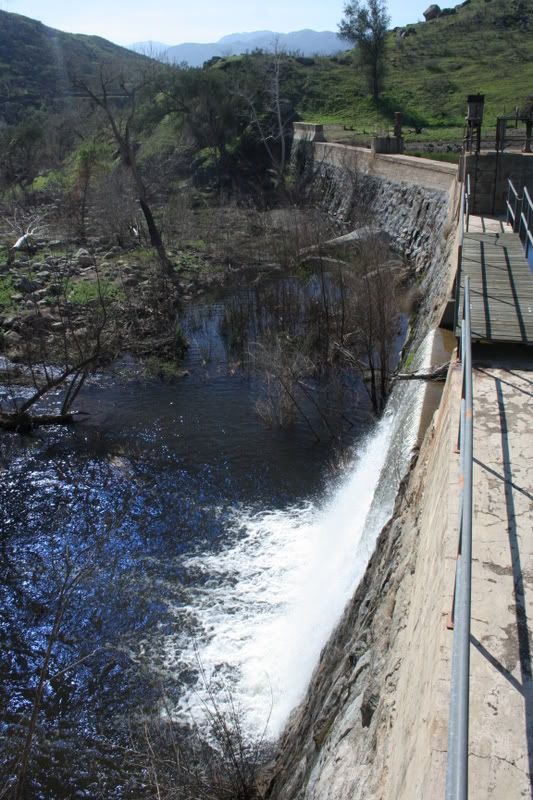
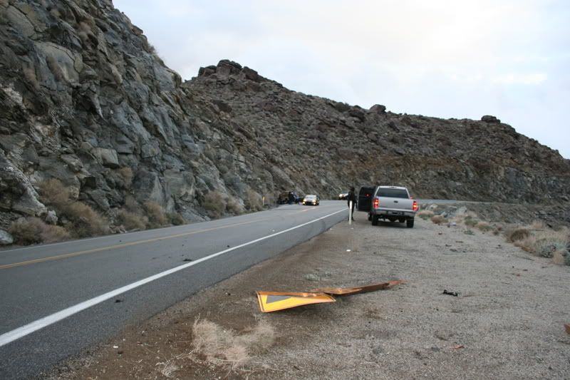
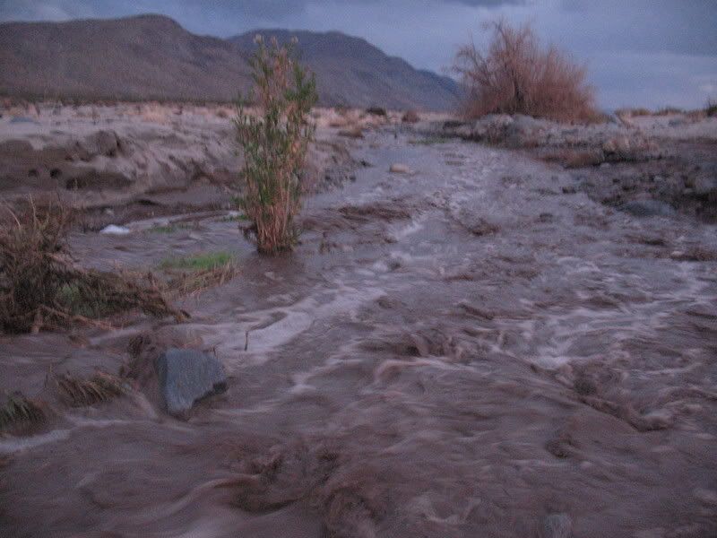
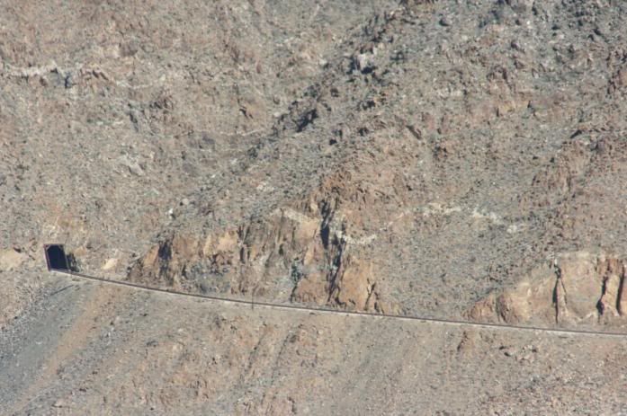
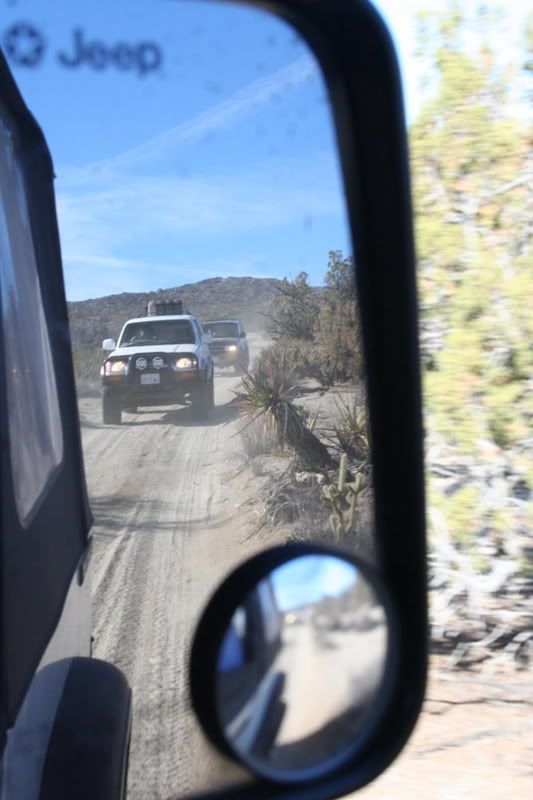
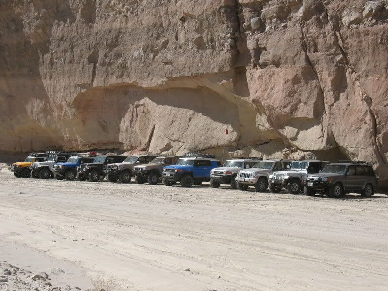
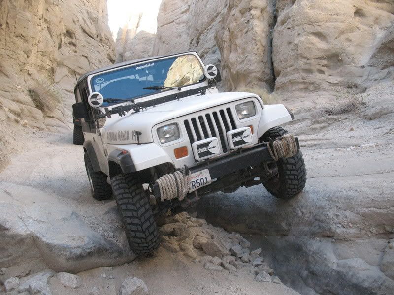
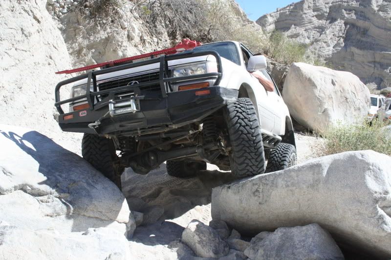
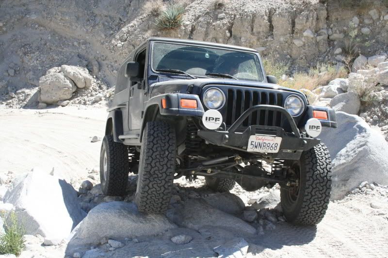
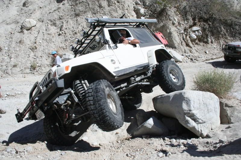
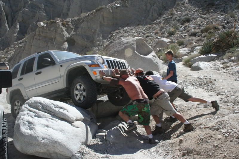
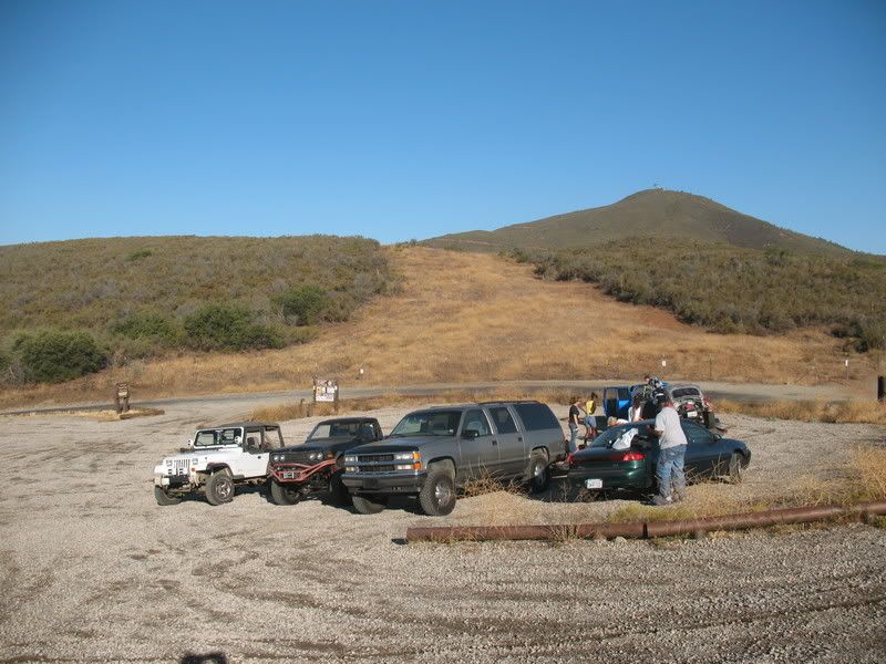
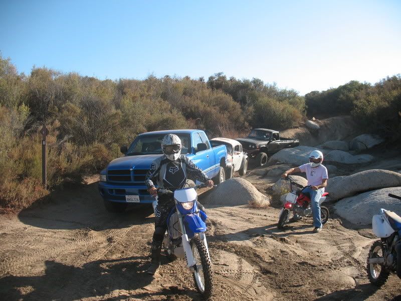
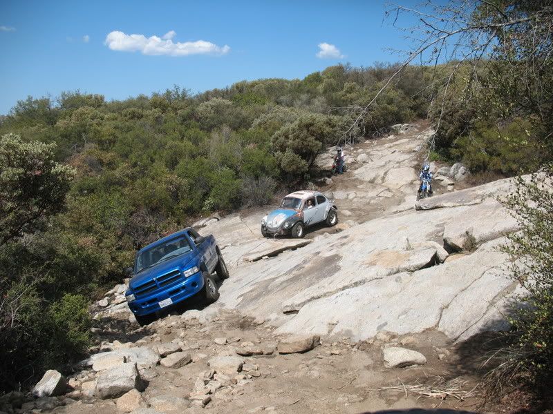
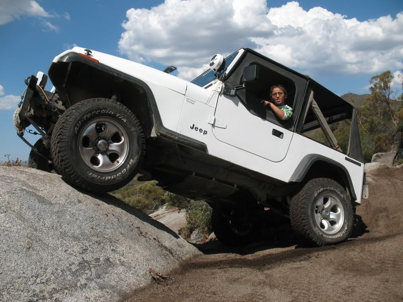
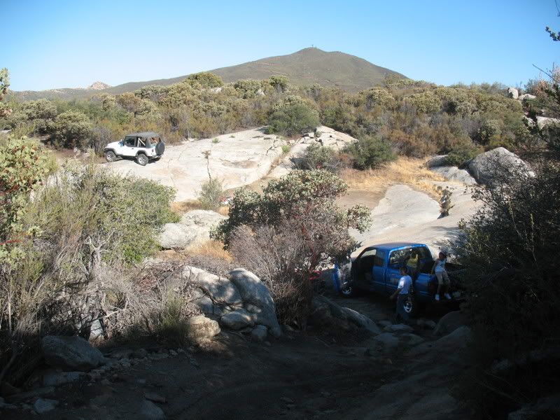
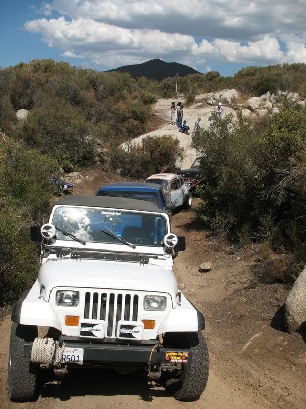
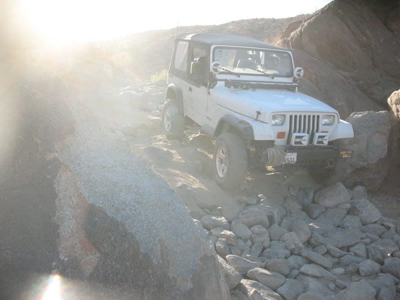
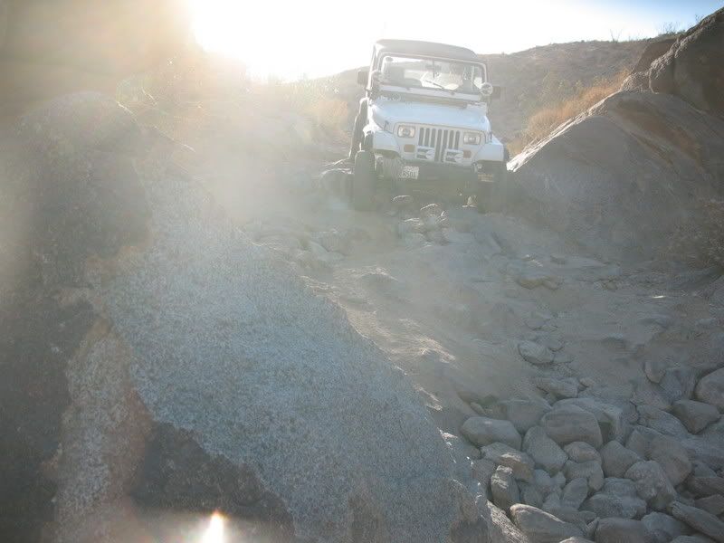
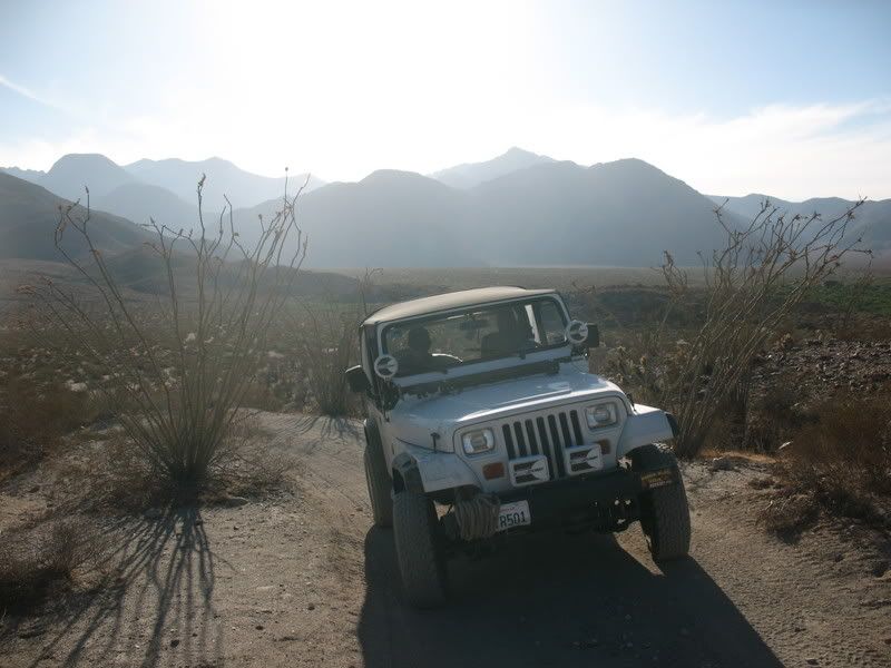
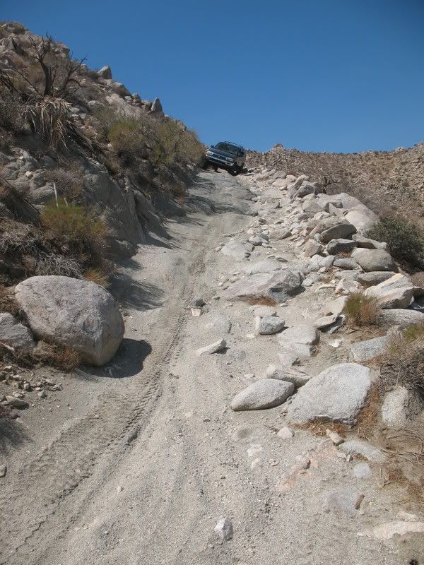
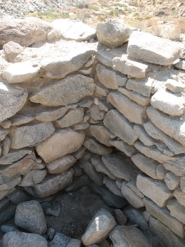
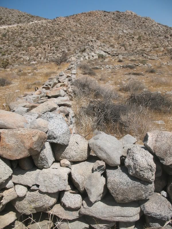
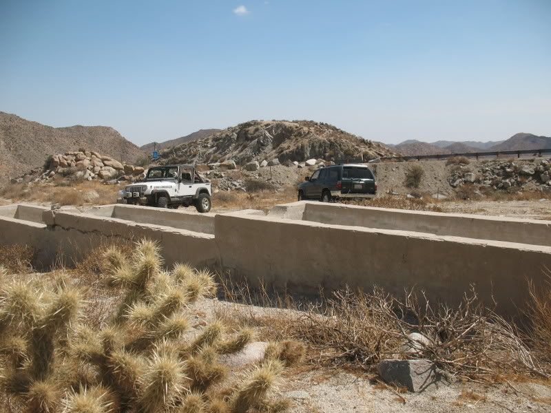
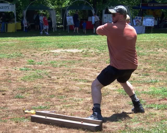
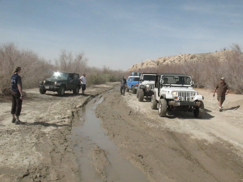
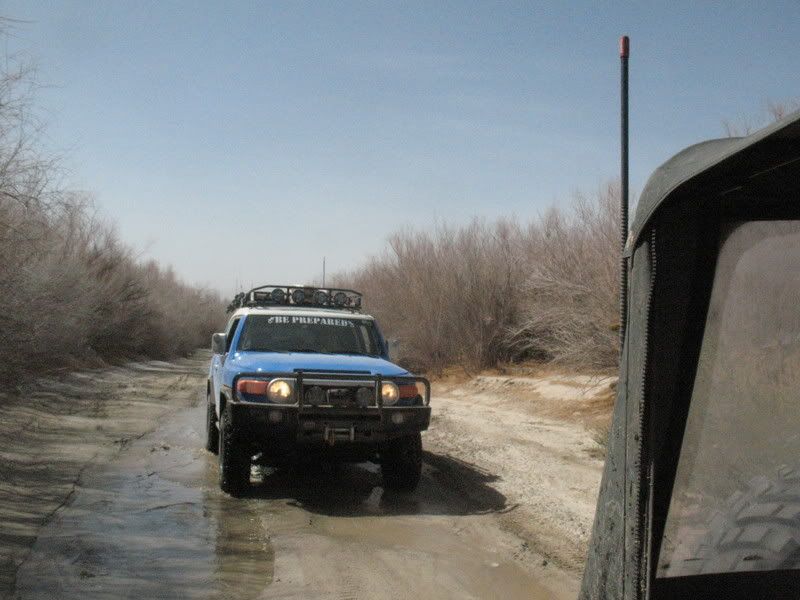
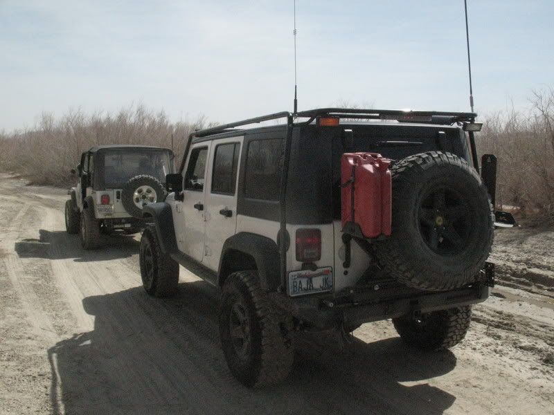
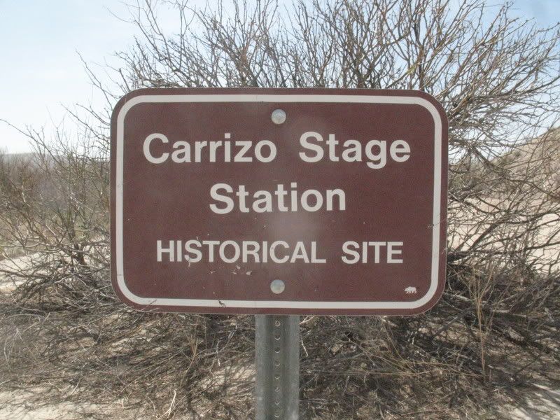
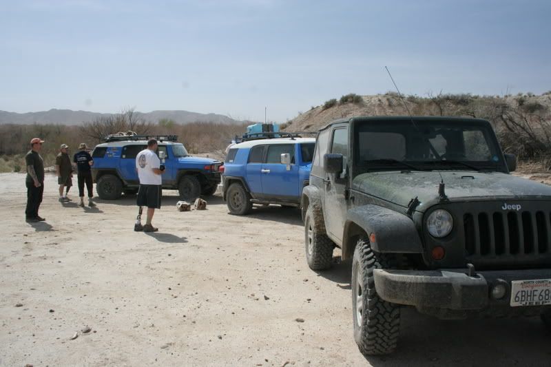
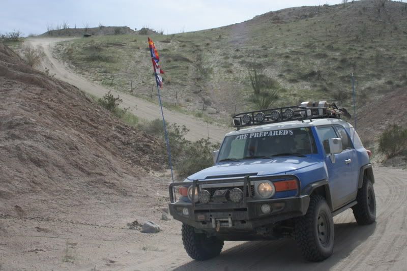
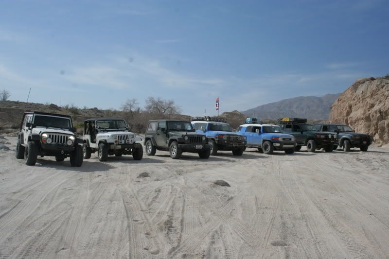
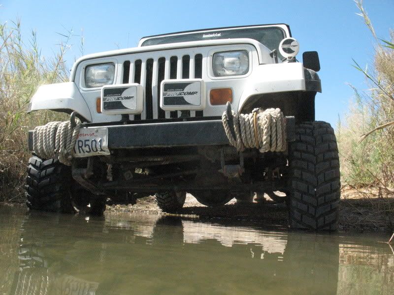
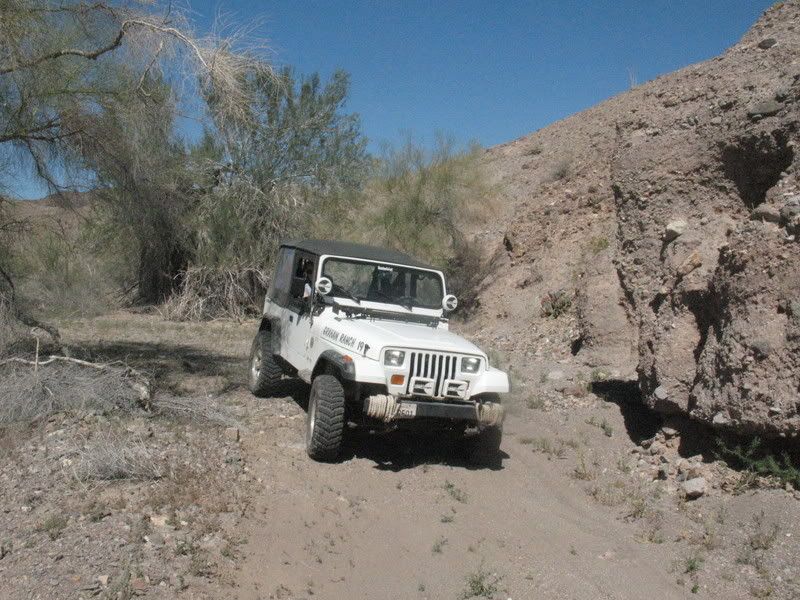
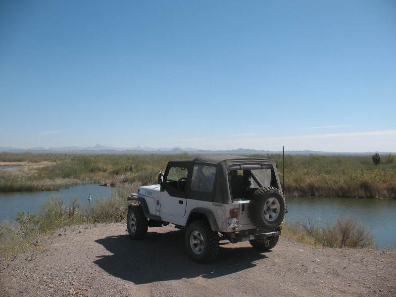
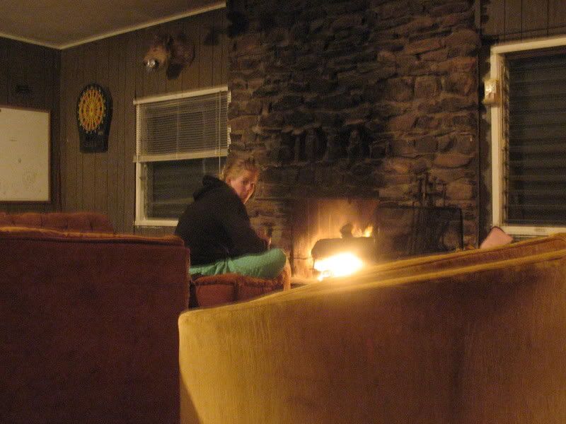
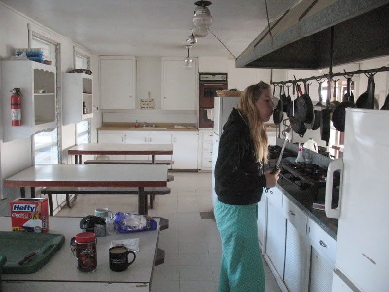
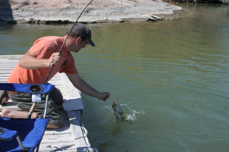
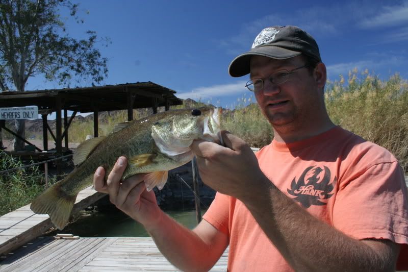
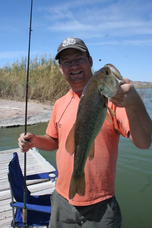
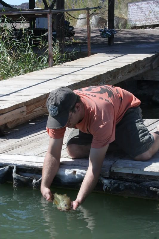
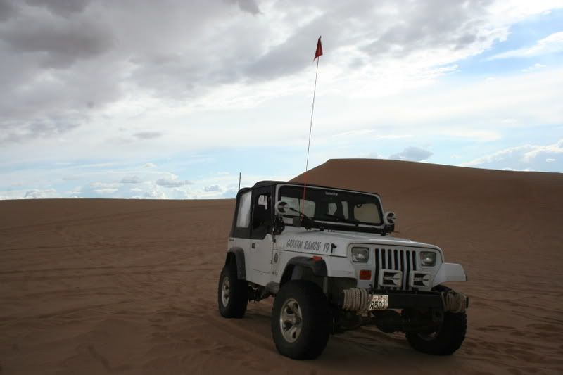
This is American Adventurist after all and here we expect a little more of our members than just opining. Share a romp down a rock strewn road, a float down cascading waters, a hike in shadowed woods, a hunting trip with the boy, casting in deep waters in search of some fish or even putzing around some historic site. They don’t have to be epic expeditions but just fun adventures even if there just for a day. It’s all good here. Share your tales with us if for no other reason than to entertain your fellow members on a slow day. New tales or old, we’re interested in it all.
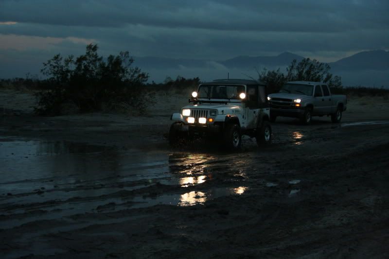
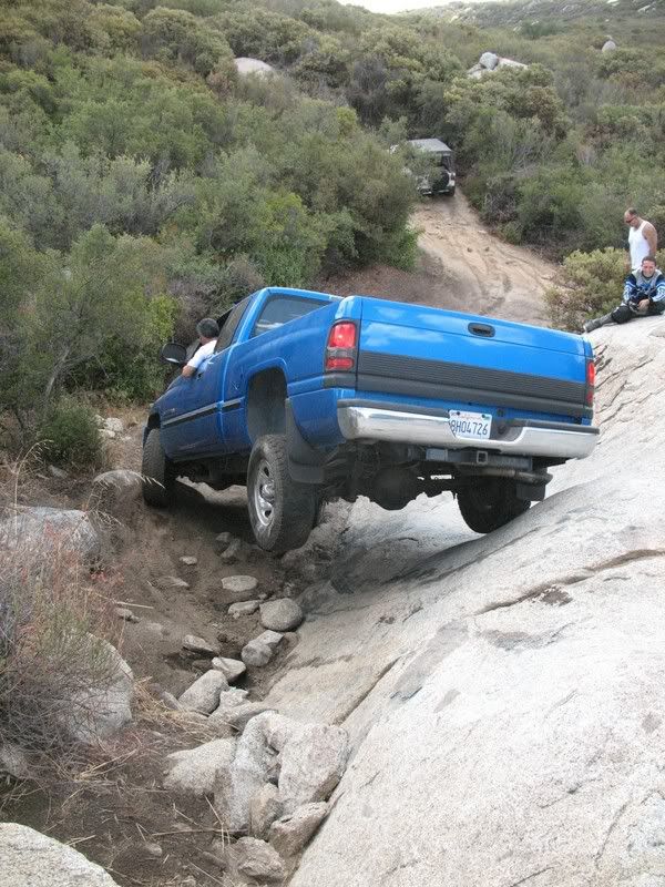
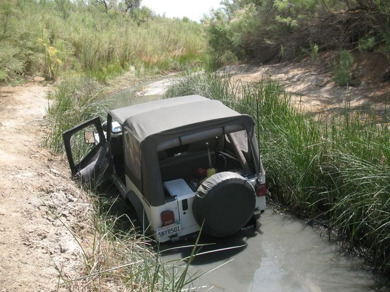
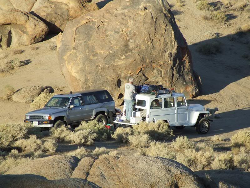
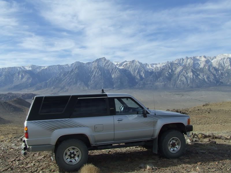
We have over a hundred members here now but the trip report section is looking a little sparse. So here’s a challenge to all the AAV members…post up a trip from the past and make plans for a new adventure in the next two weeks. With the membership numbers we have now I expect to see trip reports in number at least 1/3 of the membership within the next couple of weeks.
This challenge is especially important as it applies to the administrators and mods here as setting the tone for the direction of the site is our responsibility. We lead by example here on AAV. American Adventurist implies Adventure...let’s get some!
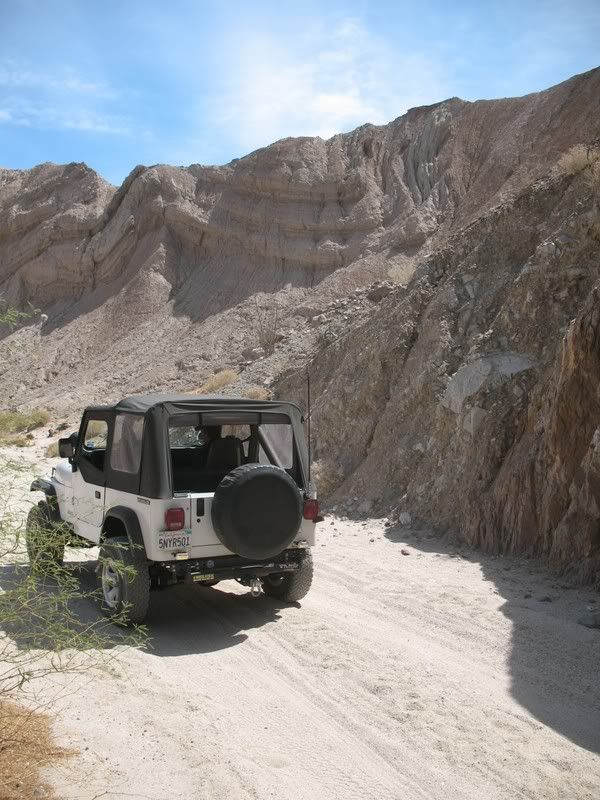
...and a little more about yourself by sharing your journeys through the scenery and secluded byways of your particular neck of the woods! From Maine to Cali, Florida to Washington and all parts in between in these here United States there are splendid places to explore, camp and tramp around. Hell there’s some damn fine places outside these borders that I yet to see and would like to learn about also. I’m sure most of you have a tale to tell so let’s hear it
This is American Adventurist after all and here we expect a little more of our members than just opining. Share a romp down a rock strewn road, a float down cascading waters, a hike in shadowed woods, a hunting trip with the boy, casting in deep waters in search of some fish or even putzing around some historic site. They don’t have to be epic expeditions but just fun adventures even if there just for a day. It’s all good here. Share your tales with us if for no other reason than to entertain your fellow members on a slow day. New tales or old, we’re interested in it all.
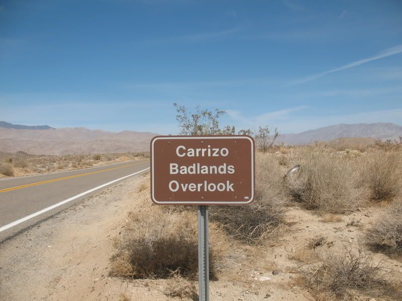
We have over a hundred members here now but the trip report section is looking a little sparse. So here’s a challenge to all the AAV members…post up a trip from the past and make plans for a new adventure in the next two weeks. With the membership numbers we have now I expect to see trip reports in number at least 1/3 of the membership within the next couple of weeks.
This challenge is especially important as it applies to the administrators and mods here as setting the tone for the direction of the site is our responsibility. We lead by example here on AAV. American Adventurist implies Adventure...let’s get some!
")