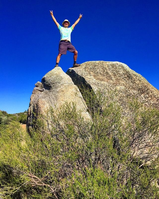
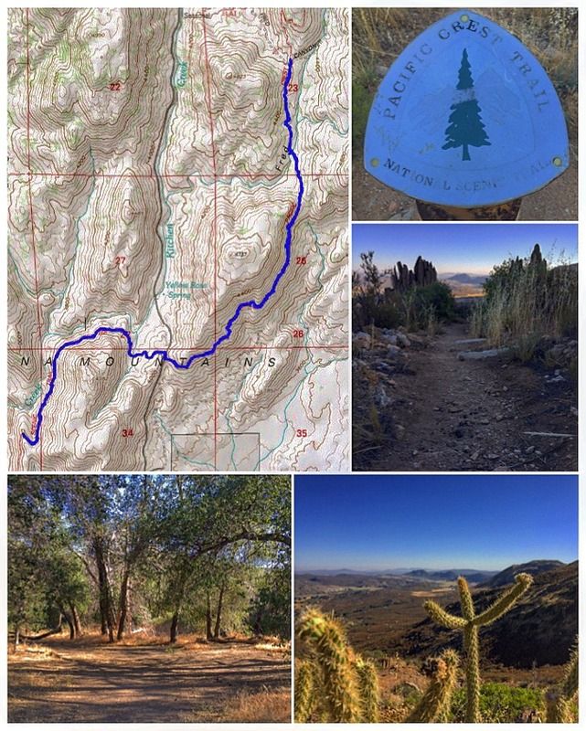
#38 Blue Angels Peak
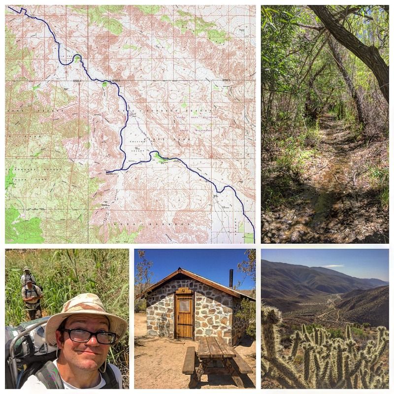
6.75 miles | +1300'
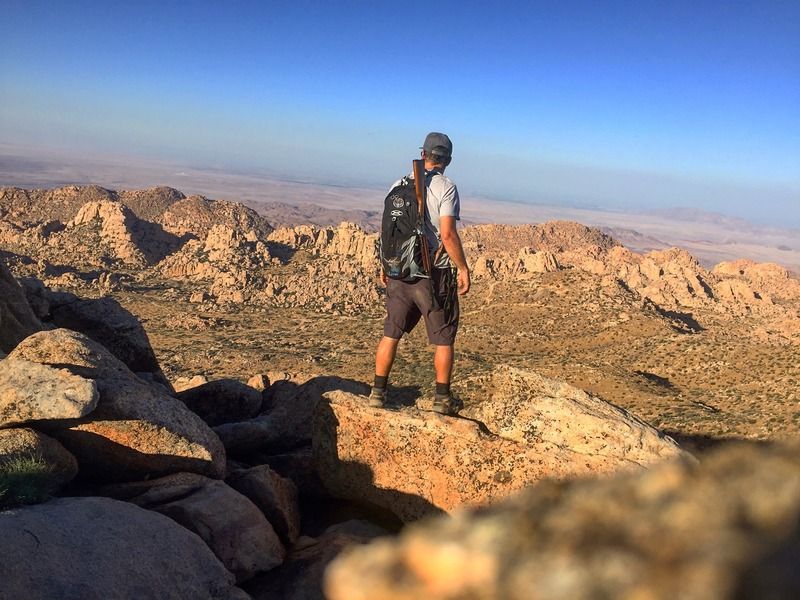
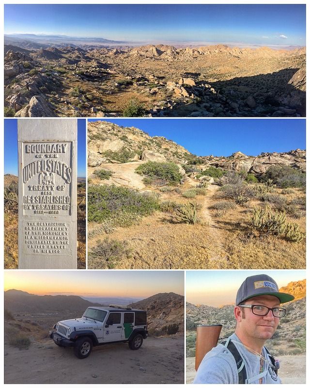
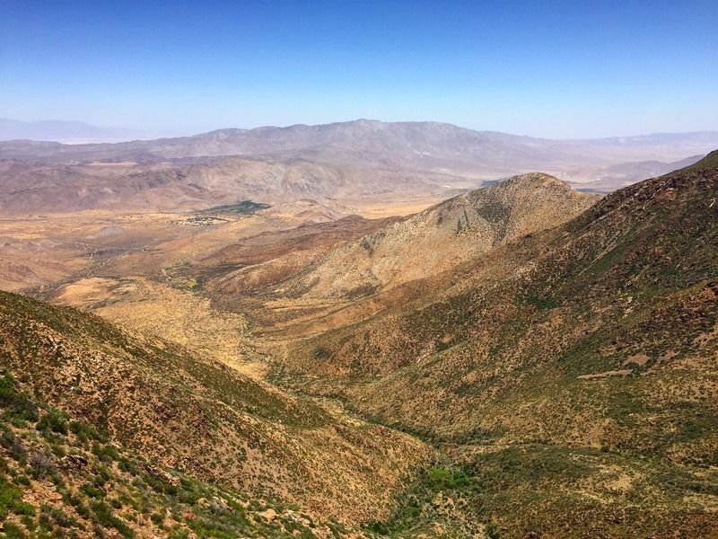
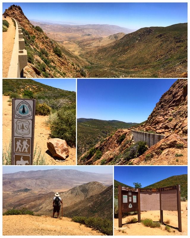
Blue Angels Peak is the highest point in Imperial County. It's located in the very southwest corner of the county, less than 300 yards north of the United States-Mexico border. The peak also lies just west and adjacent to the Jacumba Wilderness Area, so designated as part of the California Desert Protection Act of 1994. A broad range, the Jacumbas are really a series of almost parallel ridges separating valleys, with each ridge successively lower than the next, forming a great staircase descending eastward into the Colorado Desert. South of the border these same mountains stretch about 100 miles into Mexico, where they are known as the Sierra Juarez.
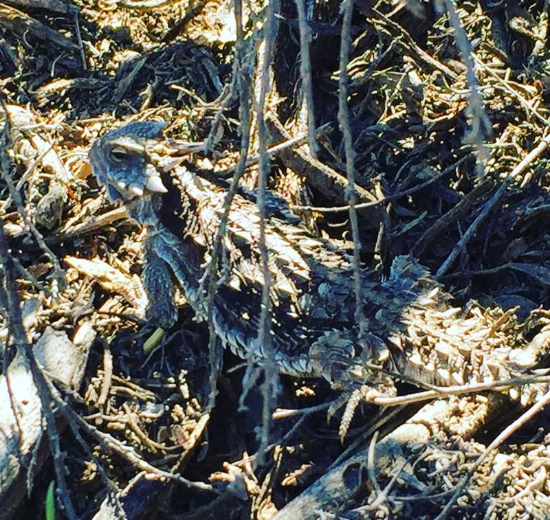
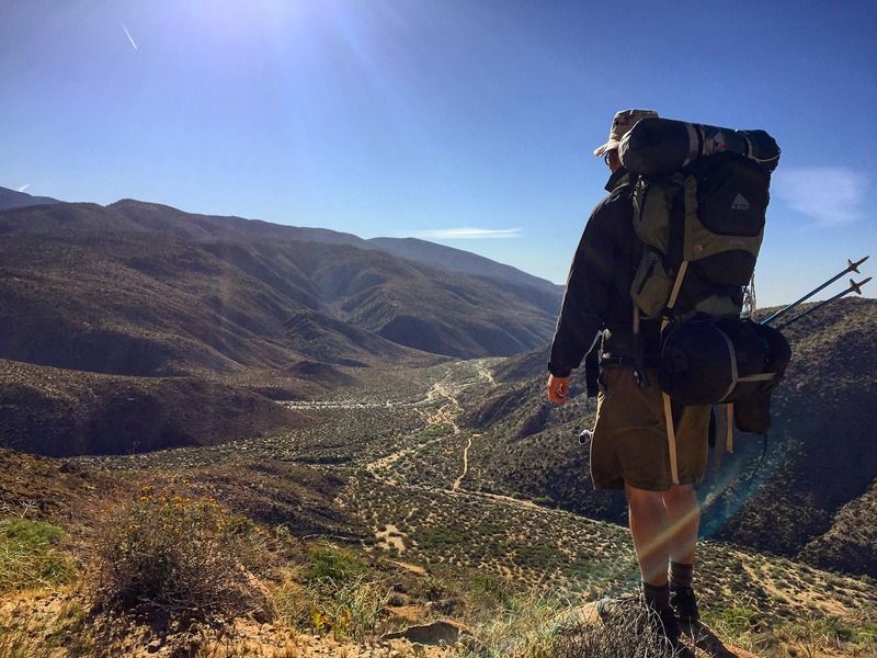
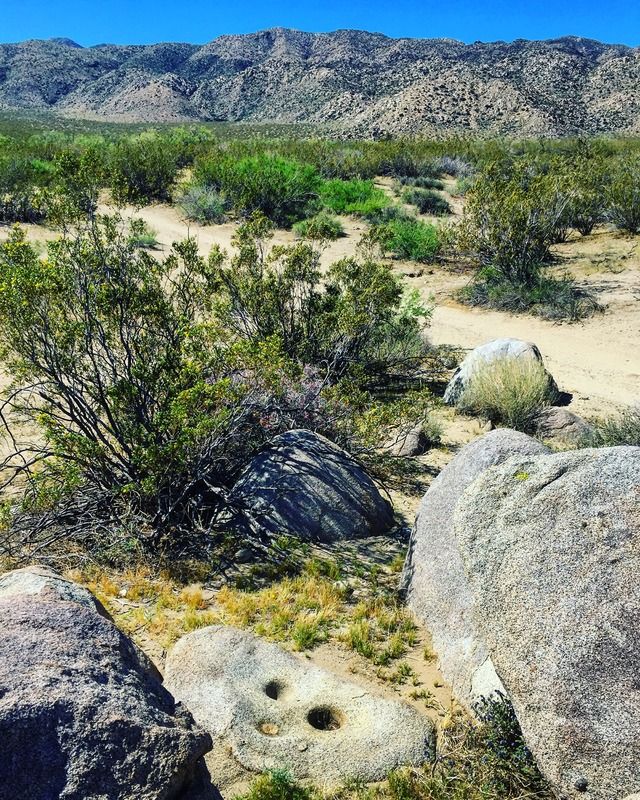
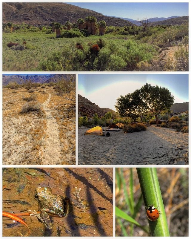
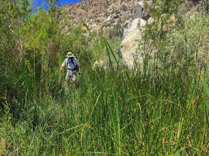
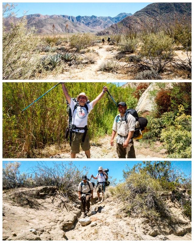
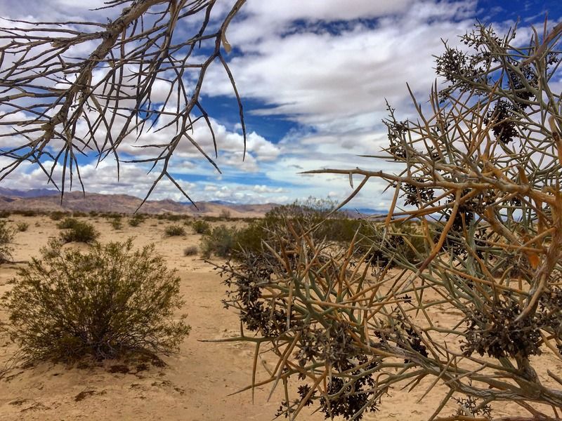
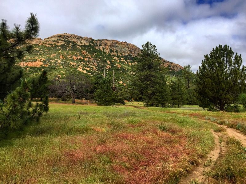
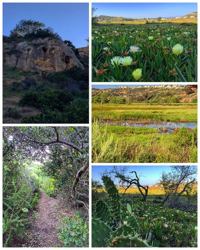
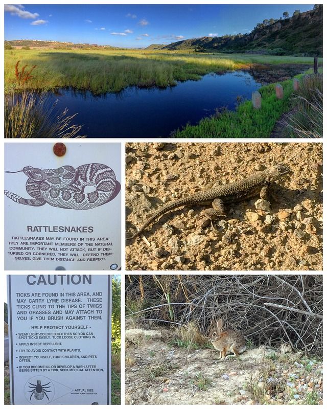
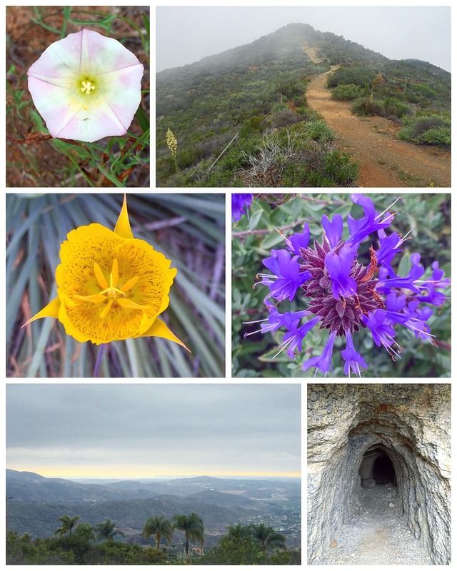
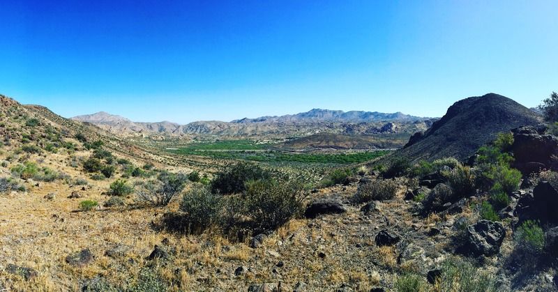
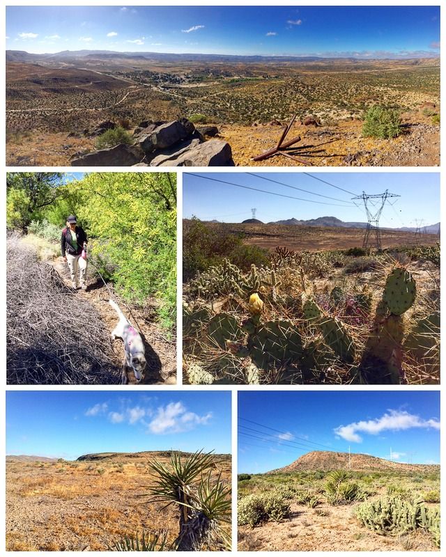
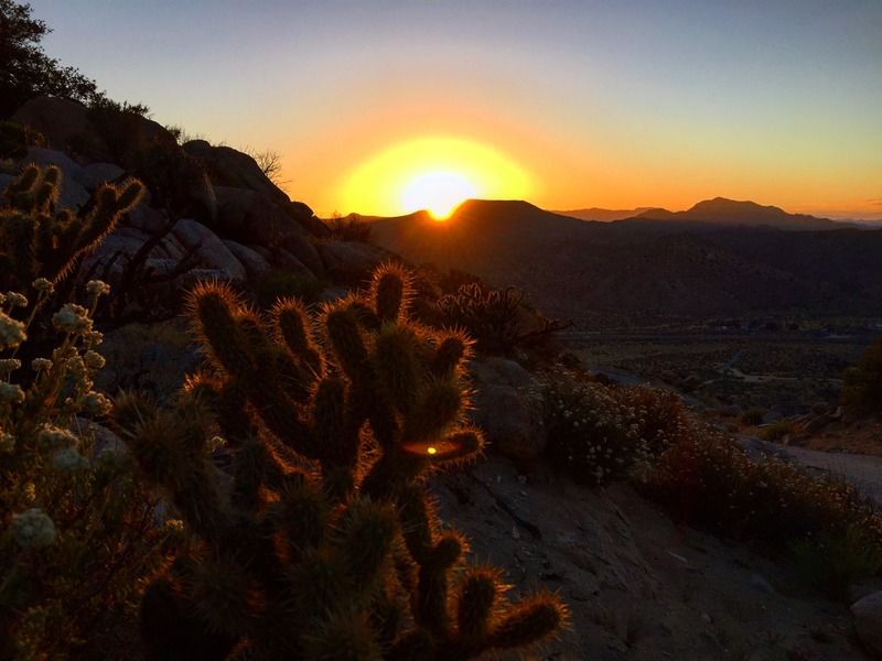
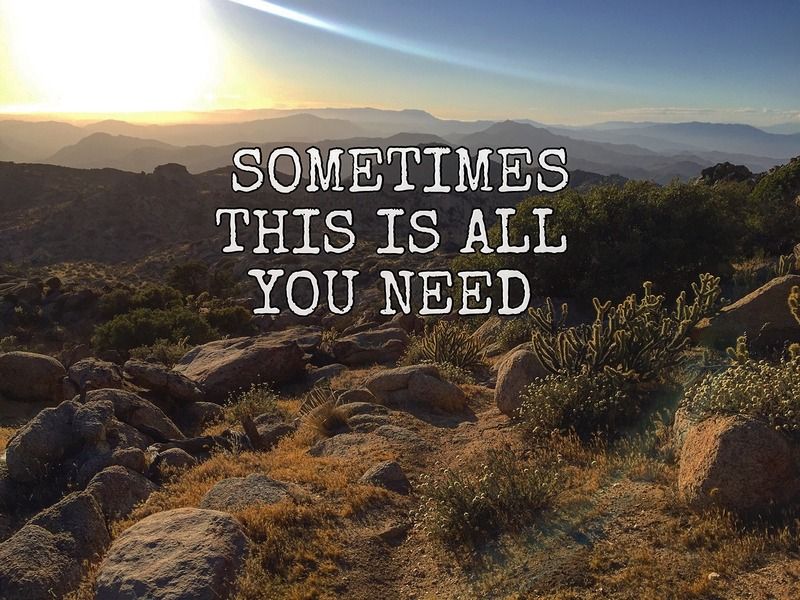
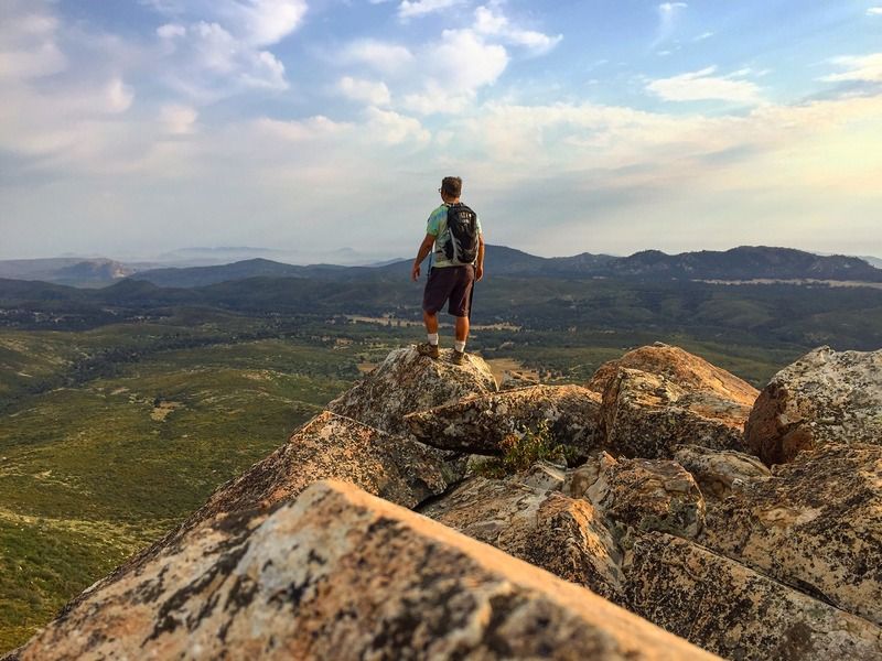
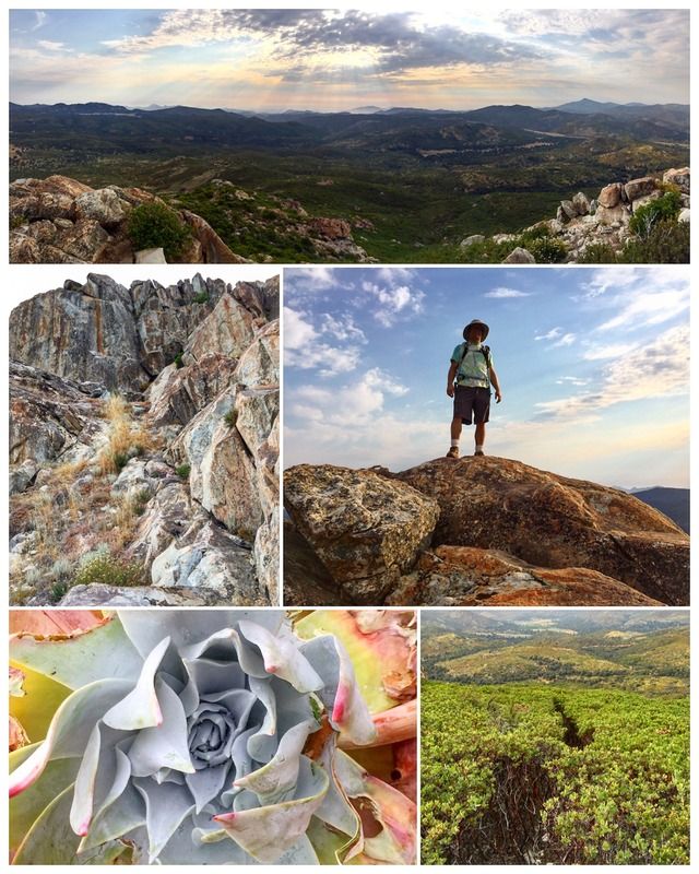
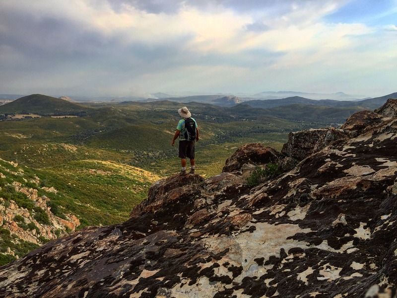
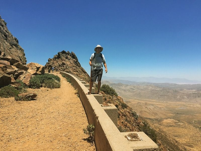
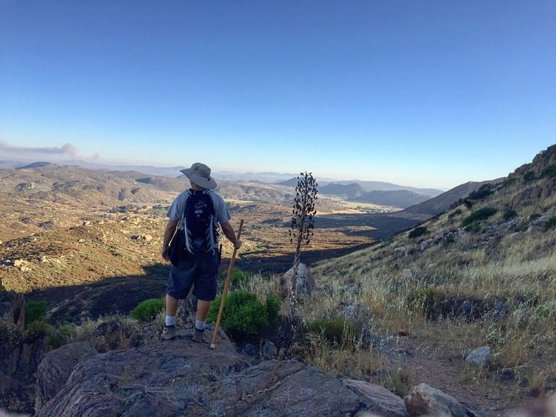
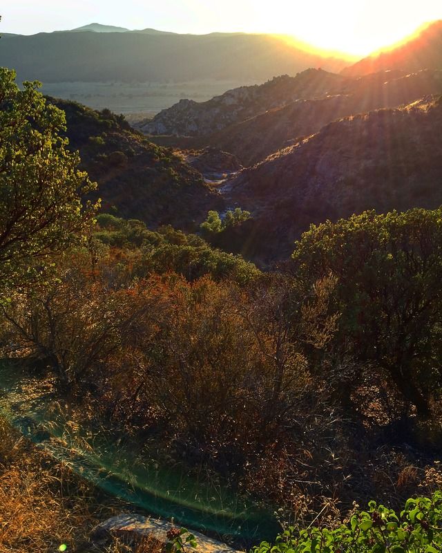
The terrain is rocky, dry, and desolate, a classic southern California desert landscape, with outstanding views in all directions.
Blue Angels Peak might be climbed more often by illegal immigrants using it as a lookout point to avoid the US Border Patrol, than by citizens of the United States. It's original name was Smuggler's Peak (which is inscribed on one of the three USG markers found near the summit), testifying to this.
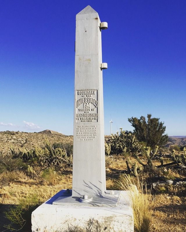
International Boundary Marker 231, a ten-foot steel obelisk, is located just south and a little west of the peak. These markers are numbered consecutively along the border from #1 at the Gulf of Mexico shoreline east of Brownsville-Matamoros to #258 at the Pacific Ocean.
The peak was named in honor of the Navy Flight Demonstration Squadron, the Blue Angels, which is based at a nearby naval air facility in El Centro.